MyTopo
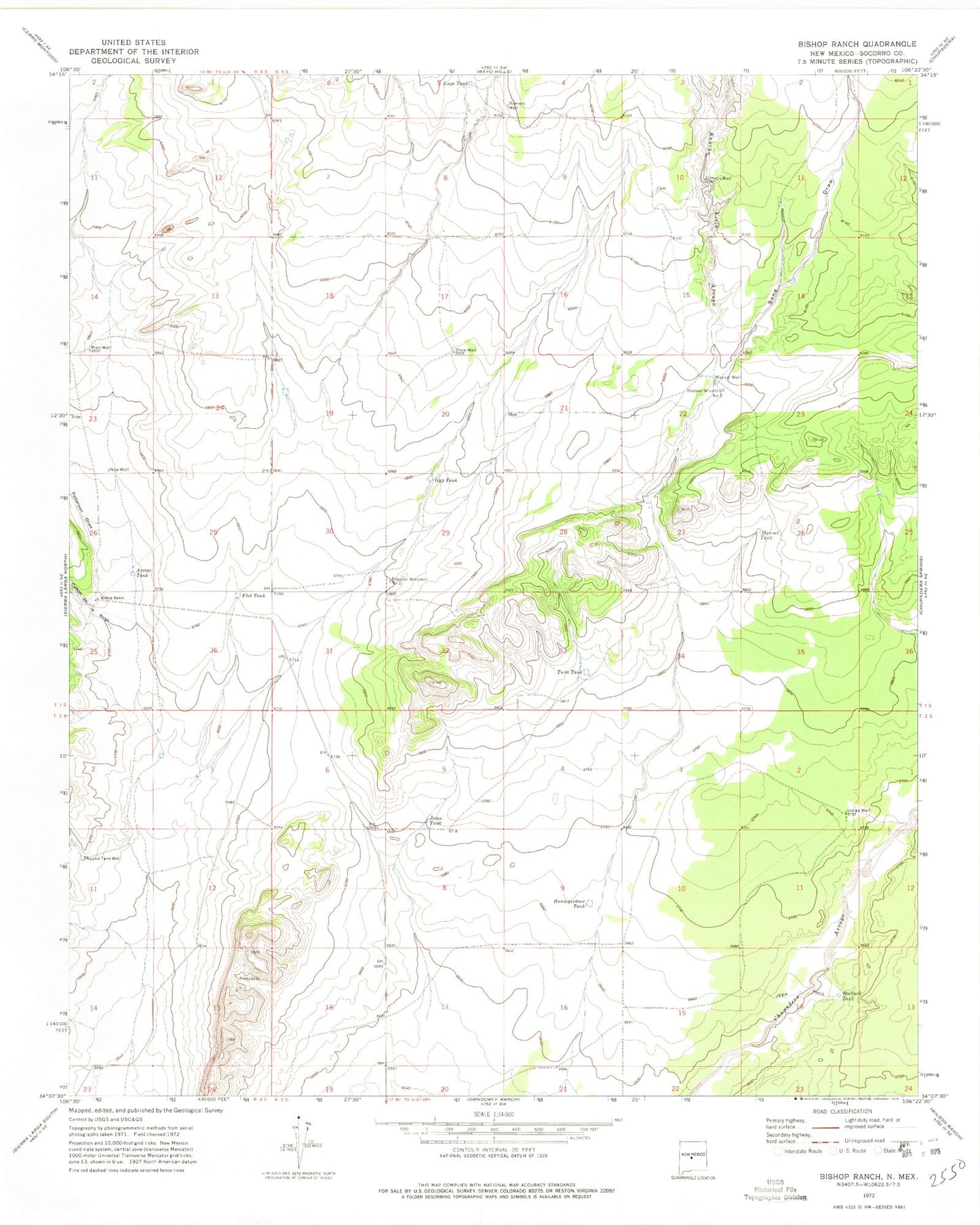
Classic USGS Bishop Ranch New Mexico 7.5'x7.5' Topo Map
Couldn't load pickup availability
Historical USGS topographic quad map of Bishop Ranch in the state of New Mexico. Map scale may vary for some years, but is generally around 1:24,000. Print size is approximately 24" x 27"
This quadrangle is in the following counties: Socorro.
The map contains contour lines, roads, rivers, towns, and lakes. Printed on high-quality waterproof paper with UV fade-resistant inks, and shipped rolled.
Contains the following named places: Arrese Tank, Baumgardner Tank, Bishop Ranch, Booster Windmill, Canon de la Rosa, Canyon Well, Flat Tank, Gyp Tank, Harless, Indian Well, Jesus Tank, Lupe Tank, Manuel Tank, Manuel Water Well, Manuel Well, Marr Well, New Well, Patterson Draw, Rancho Viejo Arroyo, Roebuck Tank, Romero Well, Round Tank Well, Sand Draw, Shaw Well, Twin Tank