MyTopo
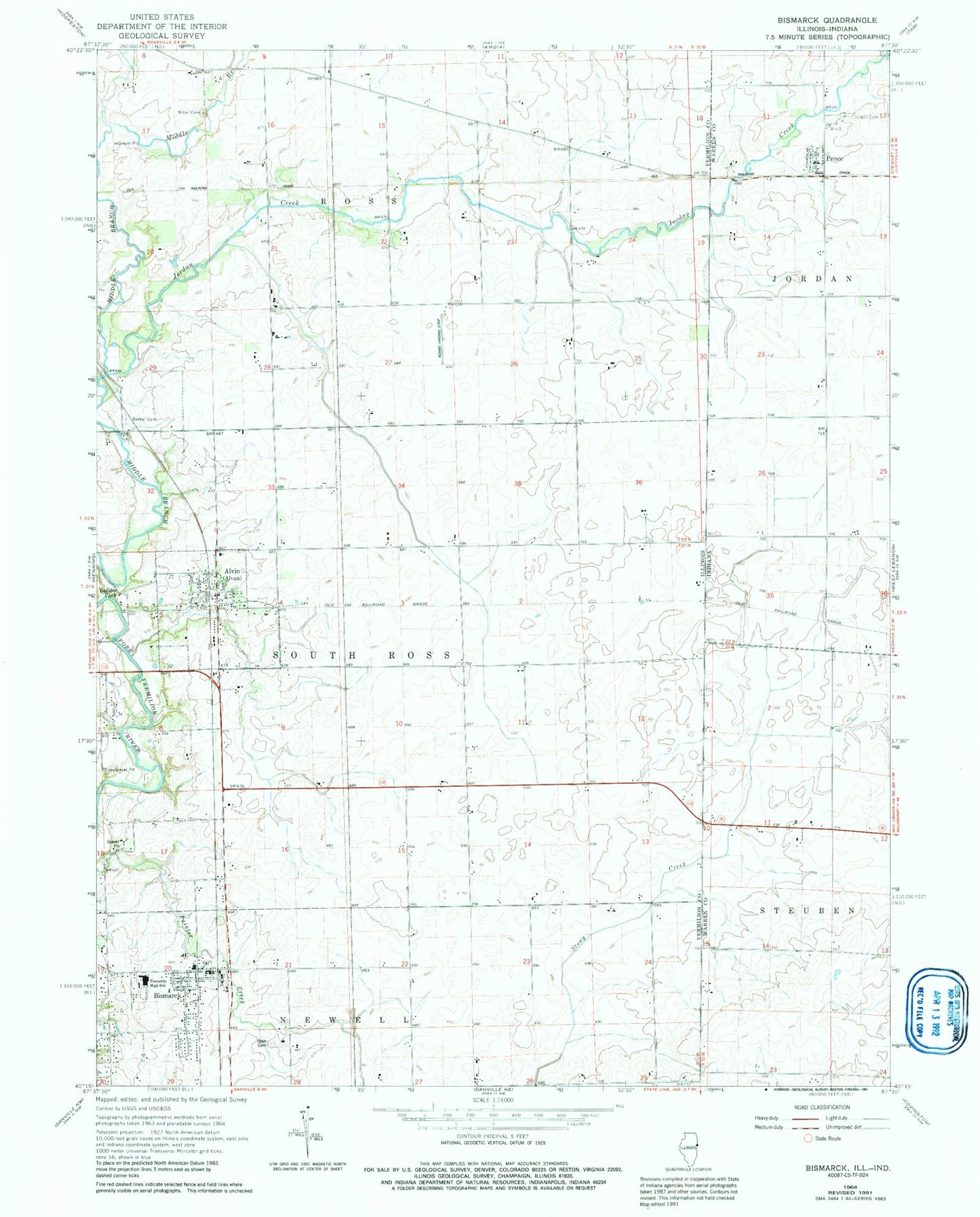
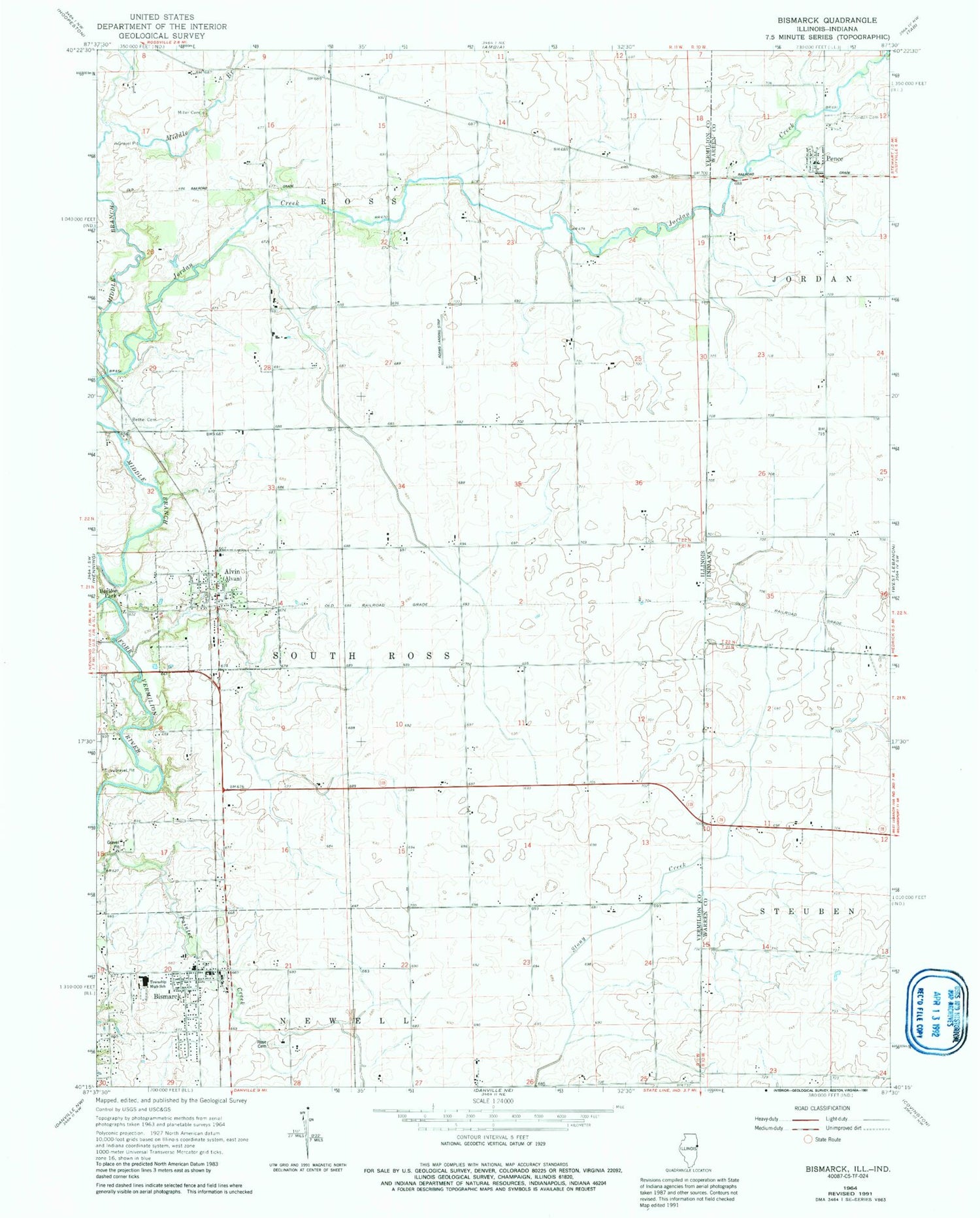
Classic USGS Bismarck Illinois 7.5'x7.5' Topo Map
Couldn't load pickup availability
Historical USGS topographic quad map of Bismarck in the states of Illinois, Indiana. Map scale may vary for some years, but is generally around 1:24,000. Print size is approximately 24" x 27"
This quadrangle is in the following counties: Vermilion, Warren.
The map contains contour lines, roads, rivers, towns, and lakes. Printed on high-quality waterproof paper with UV fade-resistant inks, and shipped rolled.
Contains the following named places: Alvin Post Office, Barlow Park, Bethel Cemetery, Bethel School, Bismarck, Bismarck Community Ambulance, Bismarck Community Fire Protection District, Bismarck Elemenatary School, Bismarck Post Office, Bismarck United Methodist Church, Bismarck-Henning High School, Brown School, Cottage Grove School, Dale School, French School, Green School, James M Adams Airport, Johannot, Jordan Cemetery, Jordan Creek, Jordan Creek of the North Fork Nature Preserve, Knowles, Little Creek, Miller Cemetery, Pence, Pence Census Designated Place, Pleasant Hill School, Pleasant View School, Rose Cemetery, Sumner School, Thomas, Village of Alvan, Village of Alvan (Alvin), Village of Bismarck, ZIP Code: 61811