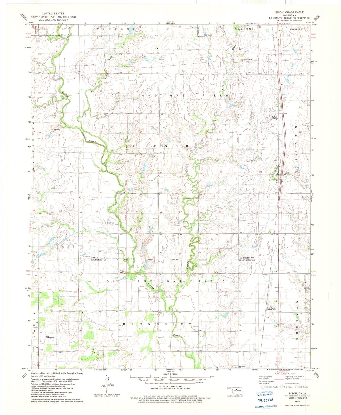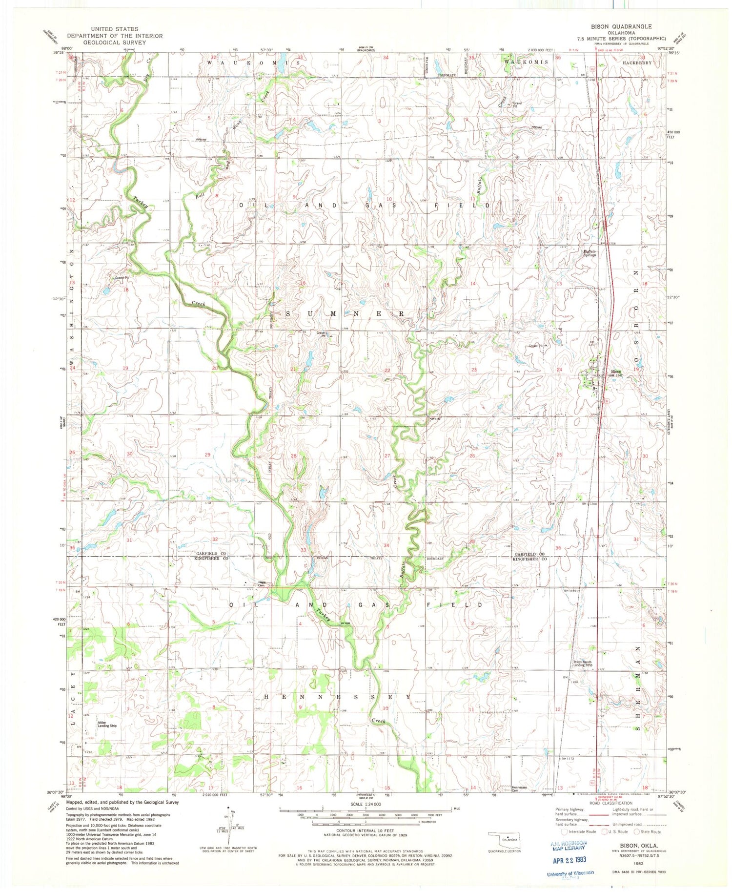
MyTopo
Classic USGS Bison Oklahoma 7.5'x7.5' Topo Map
Couldn't load pickup availability
Historical USGS topographic quad map of Bison in the state of Oklahoma. Map scale may vary for some years, but is generally around 1:24,000. Print size is approximately 24" x 27"
This quadrangle is in the following counties: Garfield, Kingfisher.
The map contains contour lines, roads, rivers, towns, and lakes. Printed on high-quality waterproof paper with UV fade-resistant inks, and shipped rolled.
Contains the following named places: Bison, Bison Census Designated Place, Bison Post Office, Buffalo Creek, Buffalo Springs, Buffalo Springs Stage Station, Dry Creek, Hell and Gone Creek, Hope Cemetery, Miller Landing Strip, Oknoname 04701 Dam, Oknoname 04701 Reservoir, Pribyl Ranch Landing Strip, Township of Sumner