MyTopo
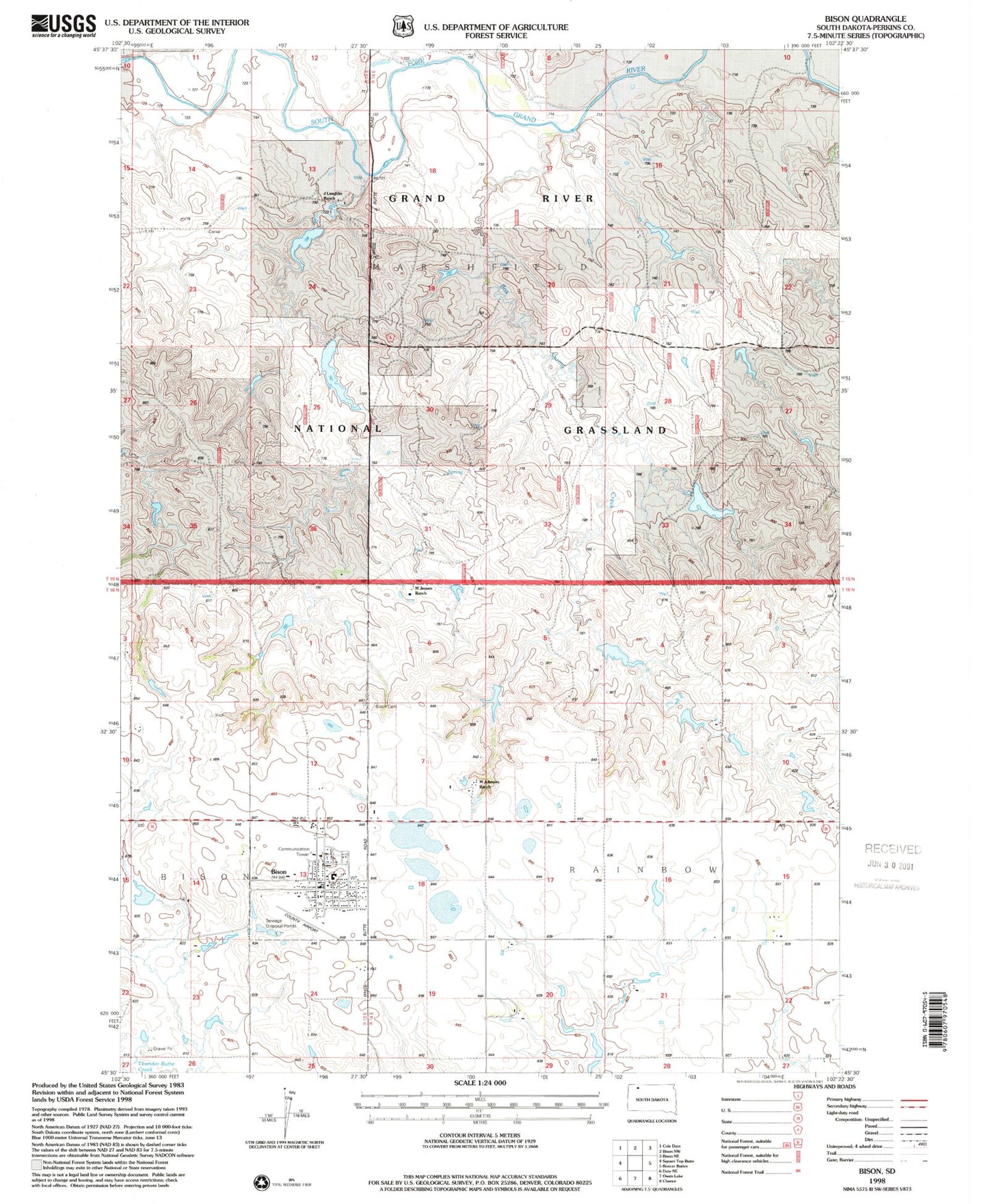
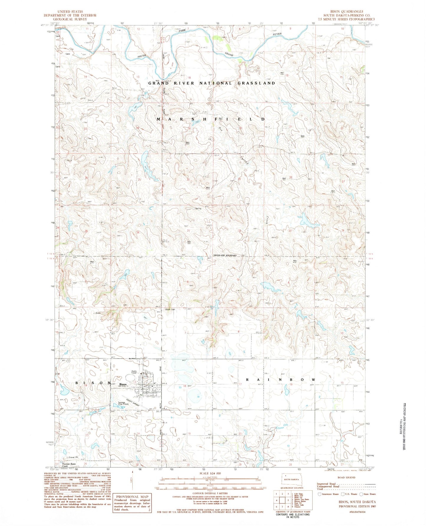
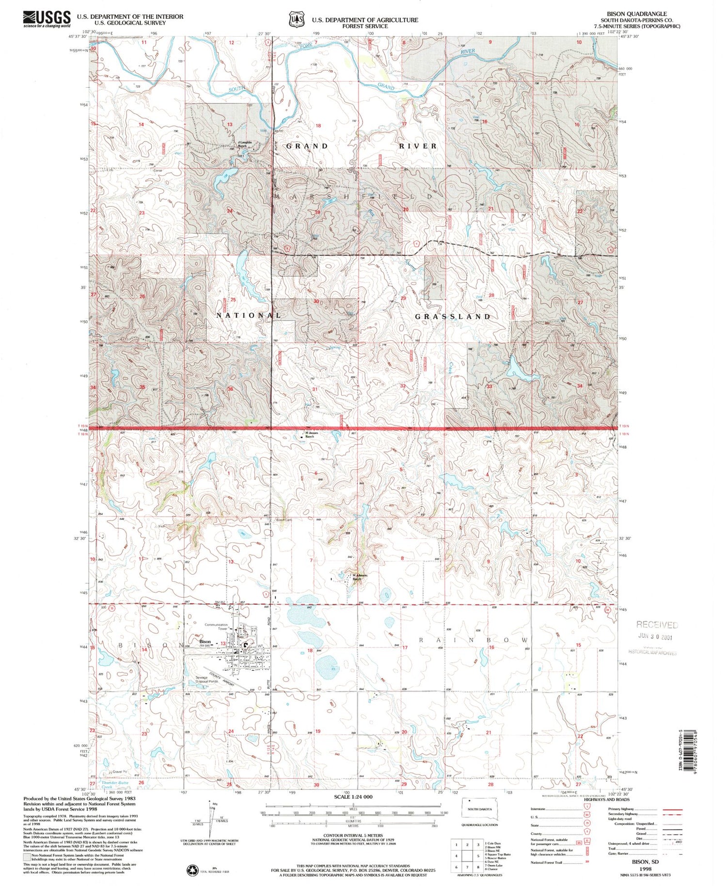
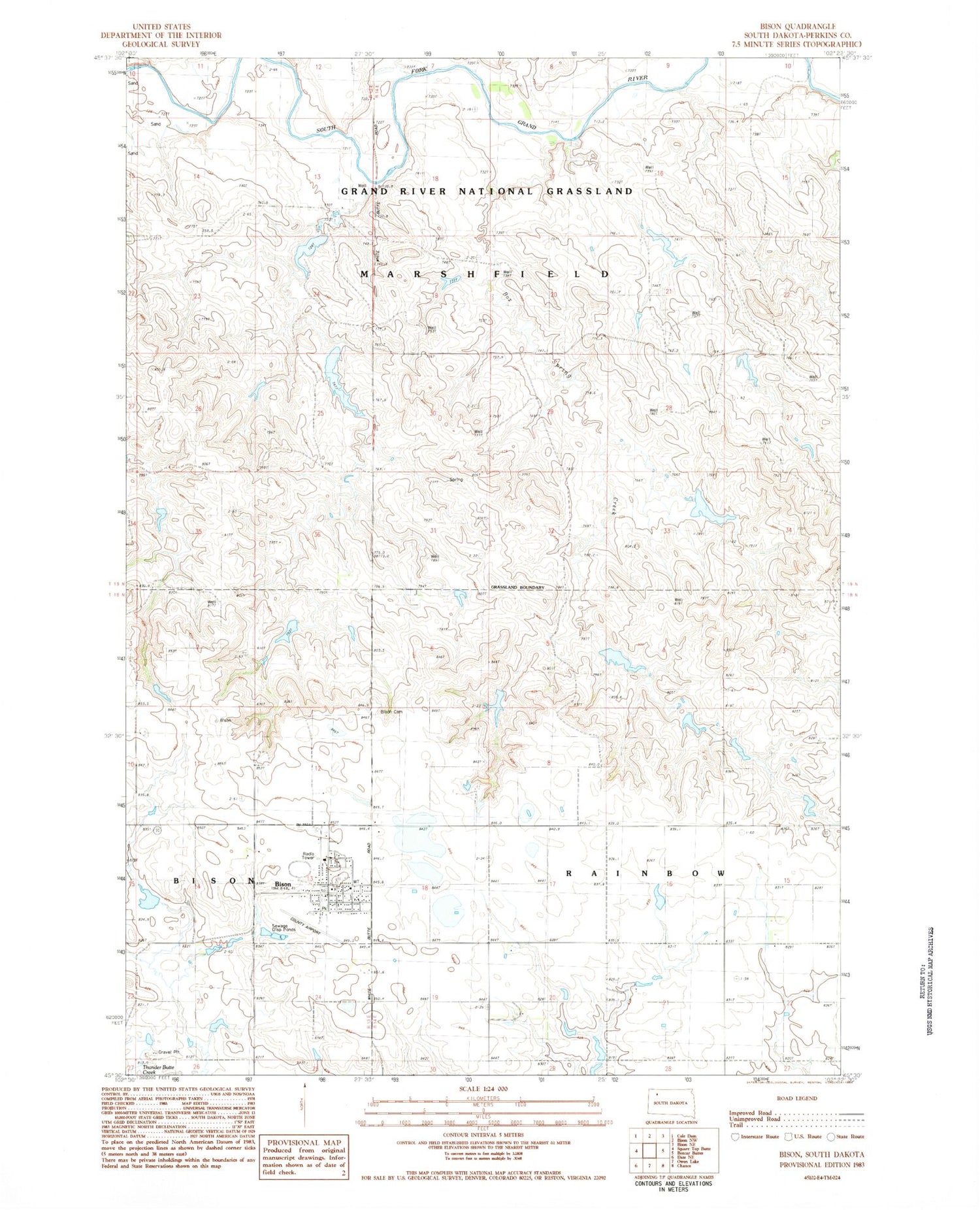
Classic USGS Bison South Dakota 7.5'x7.5' Topo Map
Couldn't load pickup availability
Historical USGS topographic quad map of Bison in the state of South Dakota. Map scale may vary for some years, but is generally around 1:24,000. Print size is approximately 24" x 27"
This quadrangle is in the following counties: Perkins.
The map contains contour lines, roads, rivers, towns, and lakes. Printed on high-quality waterproof paper with UV fade-resistant inks, and shipped rolled.
Contains the following named places: Bison, Bison Cemetery, Bison Elementary School, Bison High School, Bison Junior High School, Bison Municipal Airport, Bison Police Department, Bison Post Office, Bison Public Library, Bison Volunteer Fire Department, Box Spring Creek, Jenson Dam, Mario Johnson Dam, Marlo Johnson Dam, Morris Jensen Dam, Perkins County Ambulance Service Bison, Perkins County Courthouse, Perkins County Sheriff's Office, Rainbow School, Town of Bison, Township of Marshfield, Township of Rainbow