MyTopo
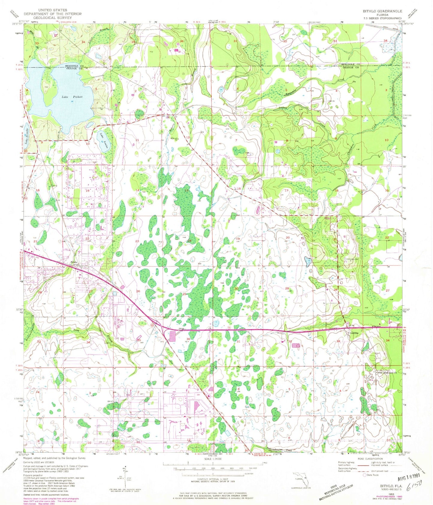
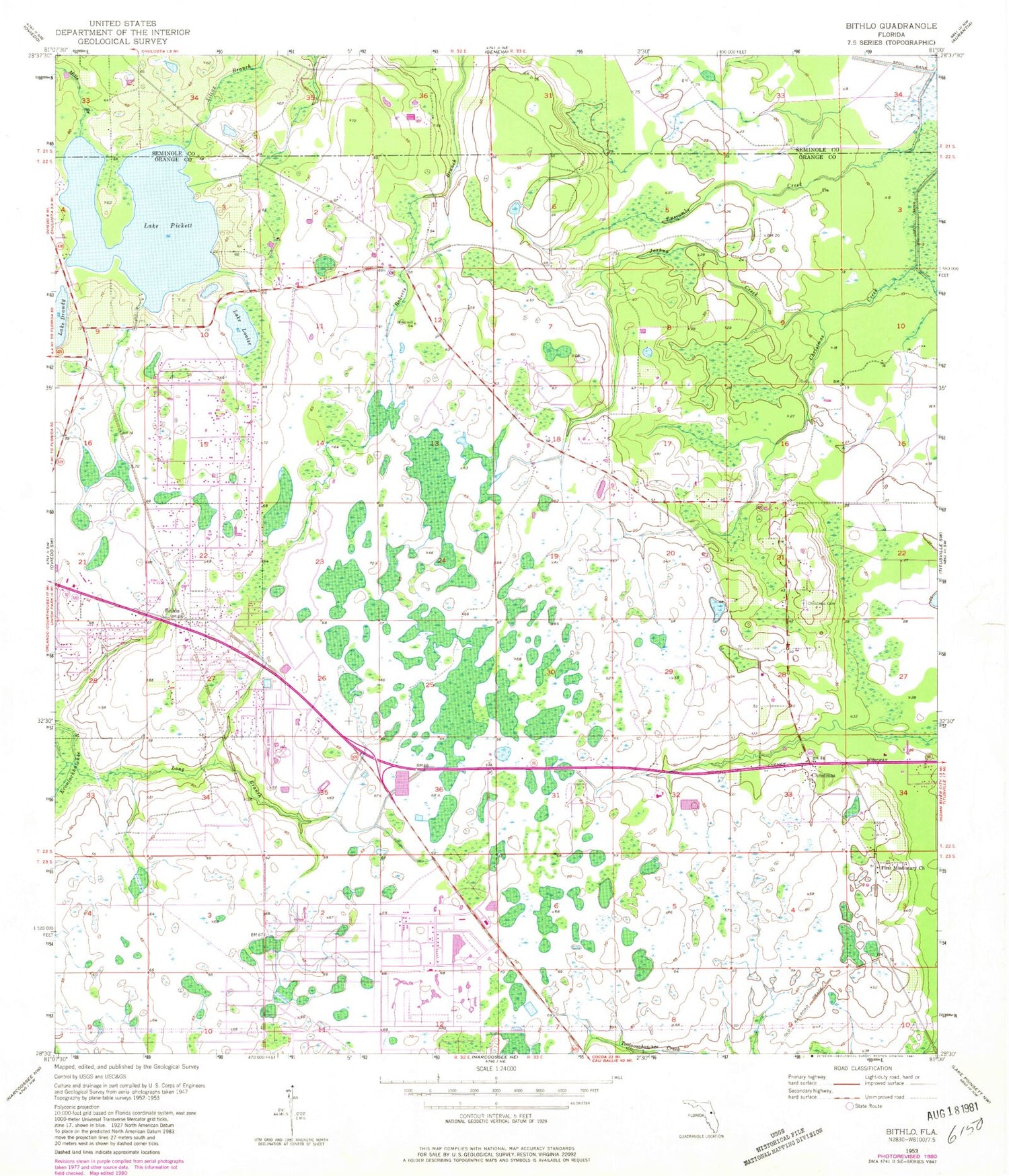
Classic USGS Bithlo Florida 7.5'x7.5' Topo Map
Couldn't load pickup availability
Historical USGS topographic quad map of Bithlo in the state of Florida. Typical map scale is 1:24,000, but may vary for certain years, if available. Print size: 24" x 27"
This quadrangle is in the following counties: Orange, Seminole.
The map contains contour lines, roads, rivers, towns, and lakes. Printed on high-quality waterproof paper with UV fade-resistant inks, and shipped rolled.
Contains the following named places: Bithlo, Christmas, Christmas Cemetery, Lake Drawdy, First Missionary Church, Joshua Creek, Long Branch, Lake Louise, Lake Pickett, Fort Christmas (historical), First Missionary Baptist Church of Bithlo, Christmas Park, Lake Pickett, WSSP-FM (Cocoa Beach), WSTF-FM (Cocoa Beach), WDIZ-FM (Orlando), WMFE-FM (Orlando), WWKA-FM (Orlando), WHTQ-FM (Orlando), WOMX-FM (Orlando), WKCF-TV (Clermont), WMFE-TV (Orlando), WOFL-TV (Orlando), WFTV-TV (Orlando), WCPX-TV (Orlando), WRBW-TV (Orlando), Orange County Fire Rescue Station 84, Bithlo Census Designated Place, Christmas Census Designated Place, Remington Golf and Country Club, Big T Mobile Home Park, Cedarhurst Mobile Home Park, Deharts Trailer Park, Holiday Acres Mobile Home Park, West Trailer Park Mobile Home Park, Wilsons Trailer Park, J and C Mobile Home Park, First Baptist Church of Bithlo, Iglesia de dios Bithlo, Christmas Post Office, Orange County Fire Rescue Station 86


