
MyTopo
Classic USGS Bitter Creek Well Utah 7.5'x7.5' Topo Map
Regular price
$16.95
Regular price
Sale price
$16.95
Unit price
per
Couldn't load pickup availability
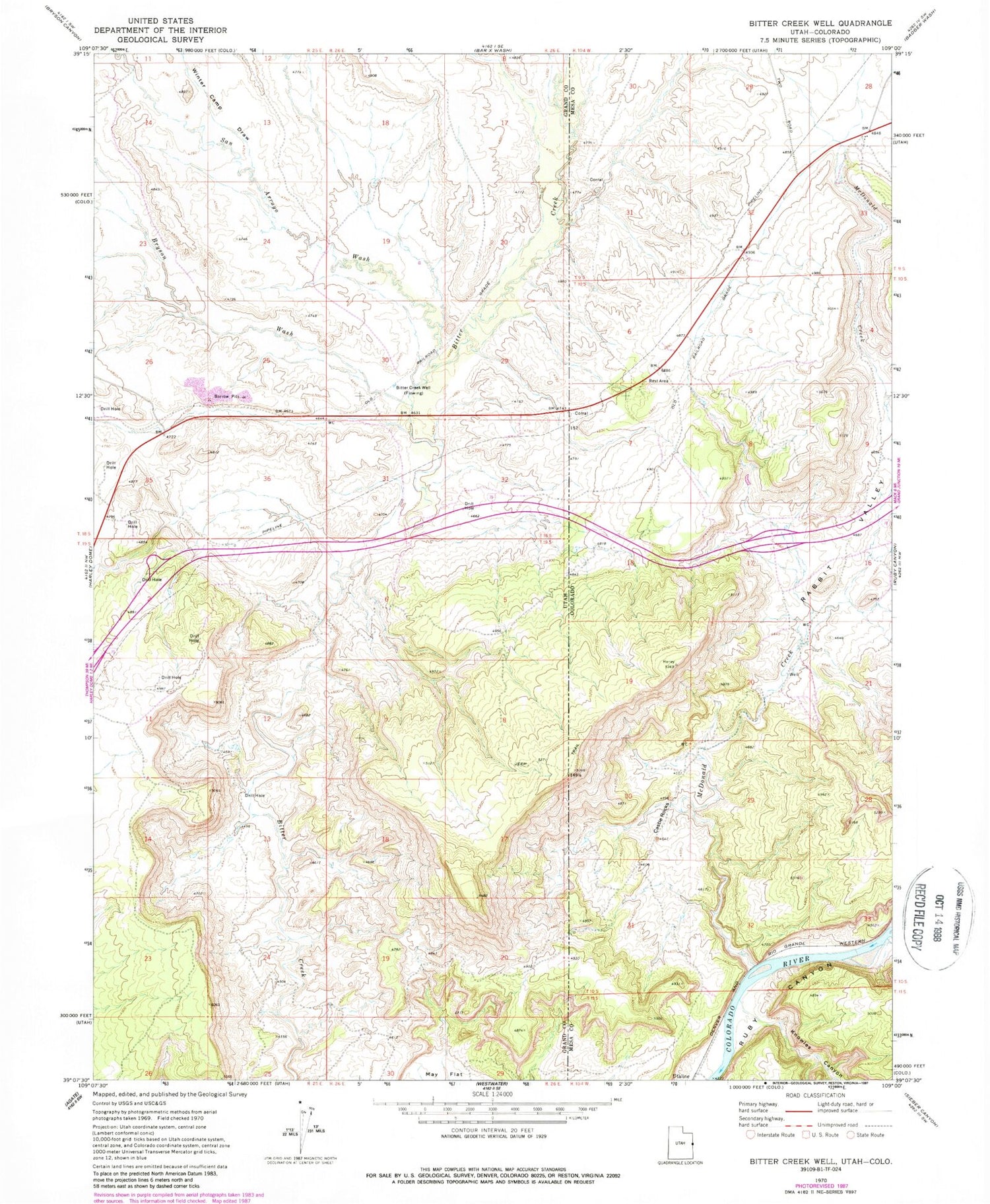
Historical USGS topographic quad map of Bitter Creek Well in the states of Utah, Colorado. Map scale is 1:24000. Print size is approximately 24" x 27"
This quadrangle is in the following counties: Grand, Mesa.
The map contains contour lines, roads, rivers, towns, and lakes. Printed on high-quality waterproof paper with UV fade-resistant inks, and shipped rolled.
Contains the following named places: Bitter Creek Well, Bryson Wash, Castle Rocks, Knowles Canyon, May Flat, McDonald Creek, Rabbit Valley, San Arroyo Wash, Utaline, Winter Camp Draw


