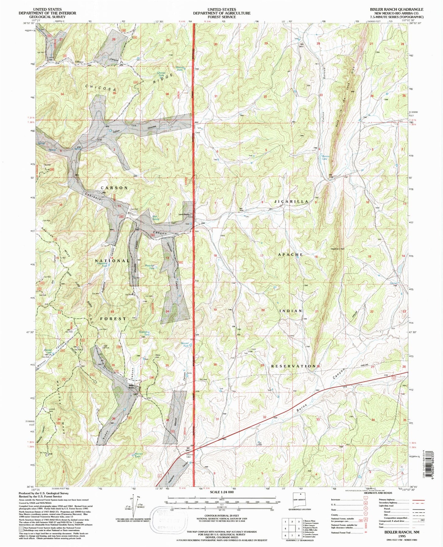
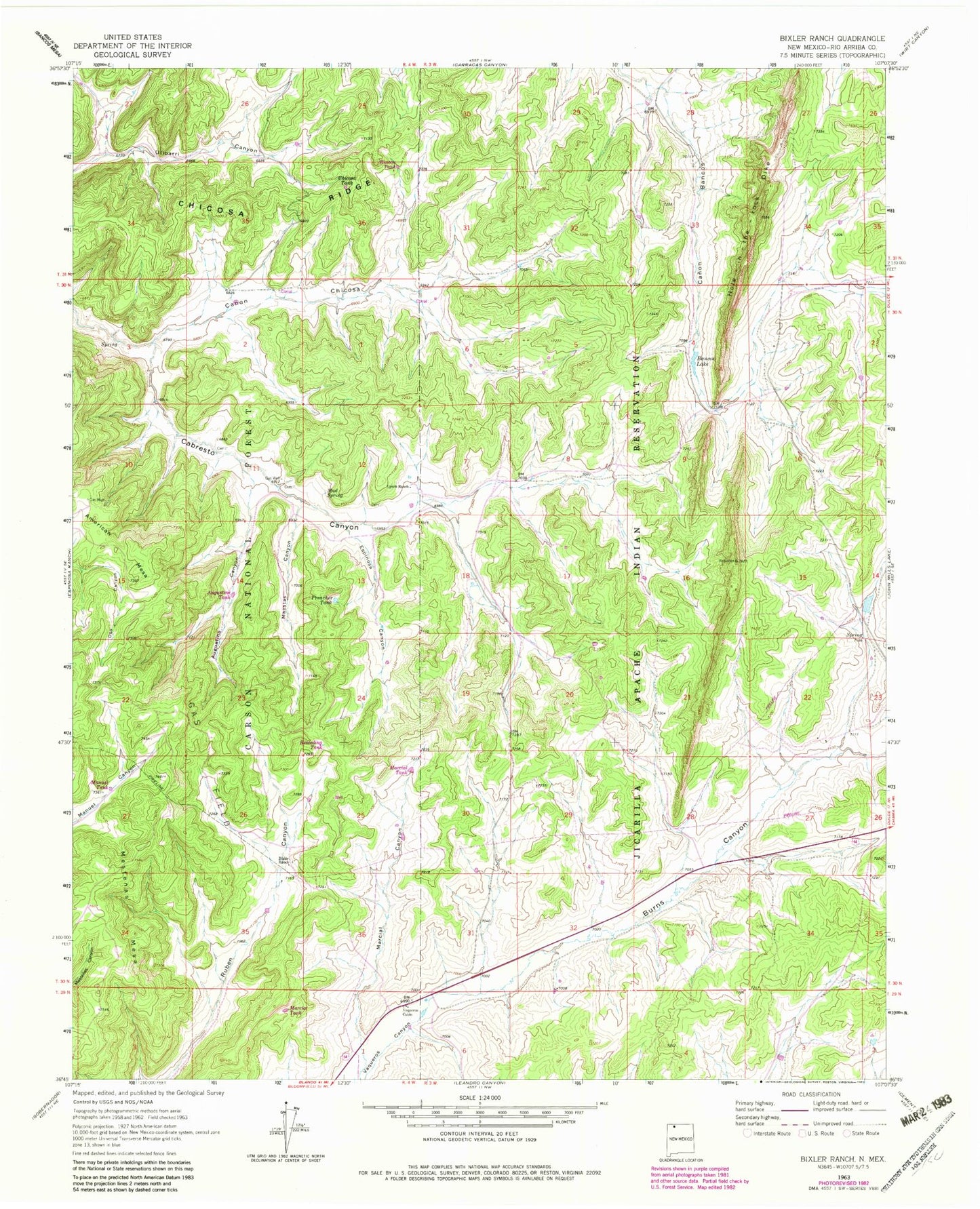
MyTopo
Classic USGS Bixler Ranch New Mexico 7.5'x7.5' Topo Map
Couldn't load pickup availability
Historical USGS topographic quad map of Bixler Ranch in the state of New Mexico. Map scale may vary for some years, but is generally around 1:24,000. Print size is approximately 24" x 27"
This quadrangle is in the following counties: Rio Arriba.
The map contains contour lines, roads, rivers, towns, and lakes. Printed on high-quality waterproof paper with UV fade-resistant inks, and shipped rolled.
Contains the following named places: Augustine Canyon, Augustine Tank, Bancos Lake, Bixler Ranch, Burns Canyon, Burns Canyon Water Well, Caberesto Water Well, Calvin Veneno Water Well, Canon Chicosa, Chicosa Ridge, Chicosa Tank, Espinosa Canyon, Farm C-142 Water Well, Hole-in-the-Rock-Dike, Lynch Ranch, Maestas Canyon, Manuel Tank, Marcial Canyon, Marcial Tank, Mud Spring, Preacher Tank, Reseeding Tank, Rincon Tank, San Juan Basin, San Juan Basin Historical Marker, Vanqueras Post Office, Vaqueros, Vaqueros Cabin