MyTopo
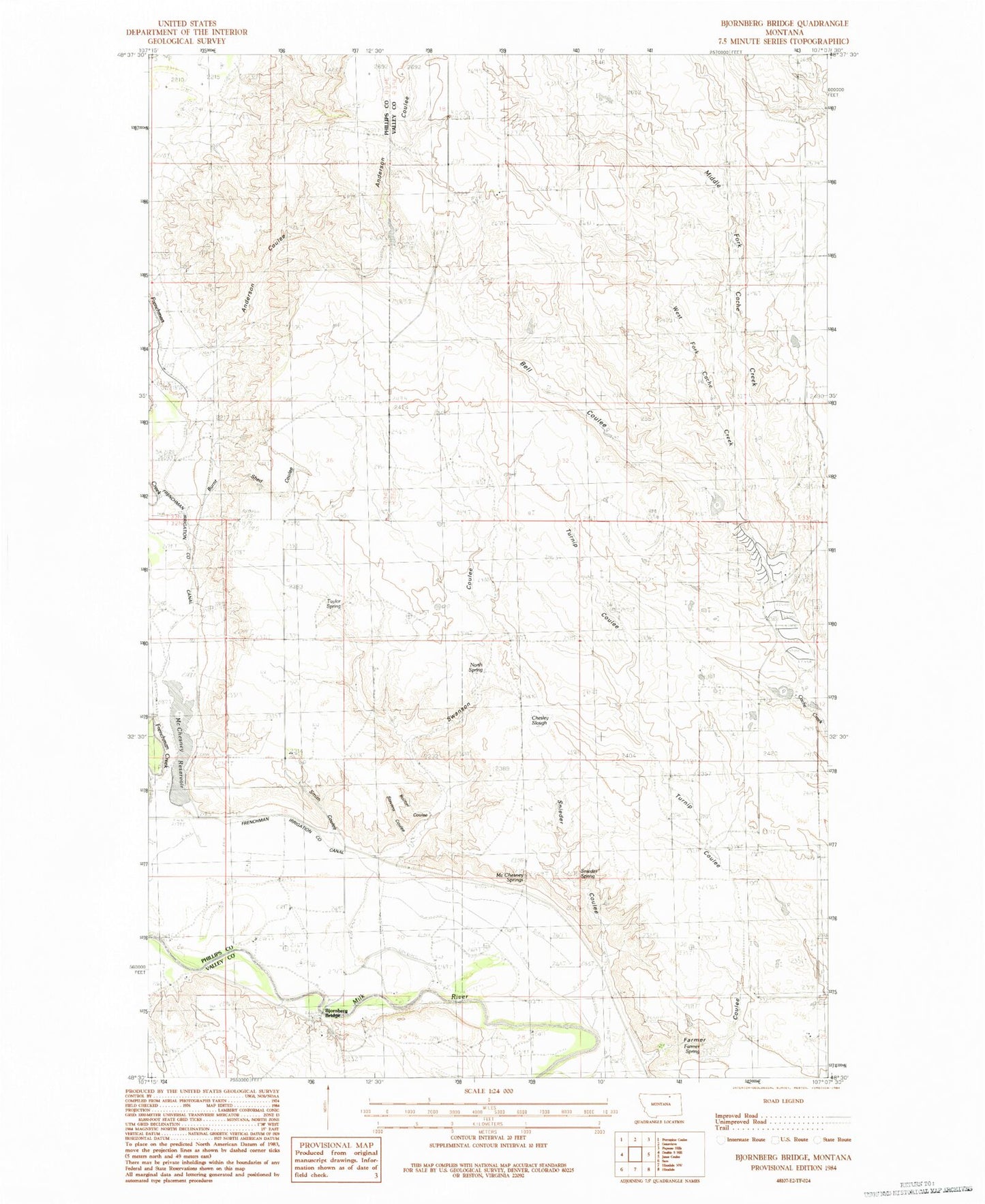
Classic USGS Bjornberg Bridge Montana 7.5'x7.5' Topo Map
Couldn't load pickup availability
Historical USGS topographic quad map of Bjornberg Bridge in the state of Montana. Map scale may vary for some years, but is generally around 1:24,000. Print size is approximately 24" x 27"
This quadrangle is in the following counties: Phillips, Valley.
The map contains contour lines, roads, rivers, towns, and lakes. Printed on high-quality waterproof paper with UV fade-resistant inks, and shipped rolled.
Contains the following named places: 33N35E17BCCC01 Well, Anderson Coulee, Bell Coulee, Bjornberg Bridge, Bjornberg Bridge Fishing Access Site, Bucher Coulee, Burnt Shed Coulee, Chesley Slough, East Fork Cash Creek, Farmer Coulee, Farmer Spring, Frenchman Creek School, Frenchman Irrigation Company Canal, McChesney Reservoir, McChesney Springs, Middle Fork Cash Creek, Nelson's Ranch, North Bench School, North Spring, Smith Coulee, Smoke School, Snieder Coulee, Snieder Spring, Snieder's Ranch, Stevens Coulee, Stuff School, Swanson Coulee, Taylor Spring, West Cache Creek School, West Fork Cash Creek