MyTopo
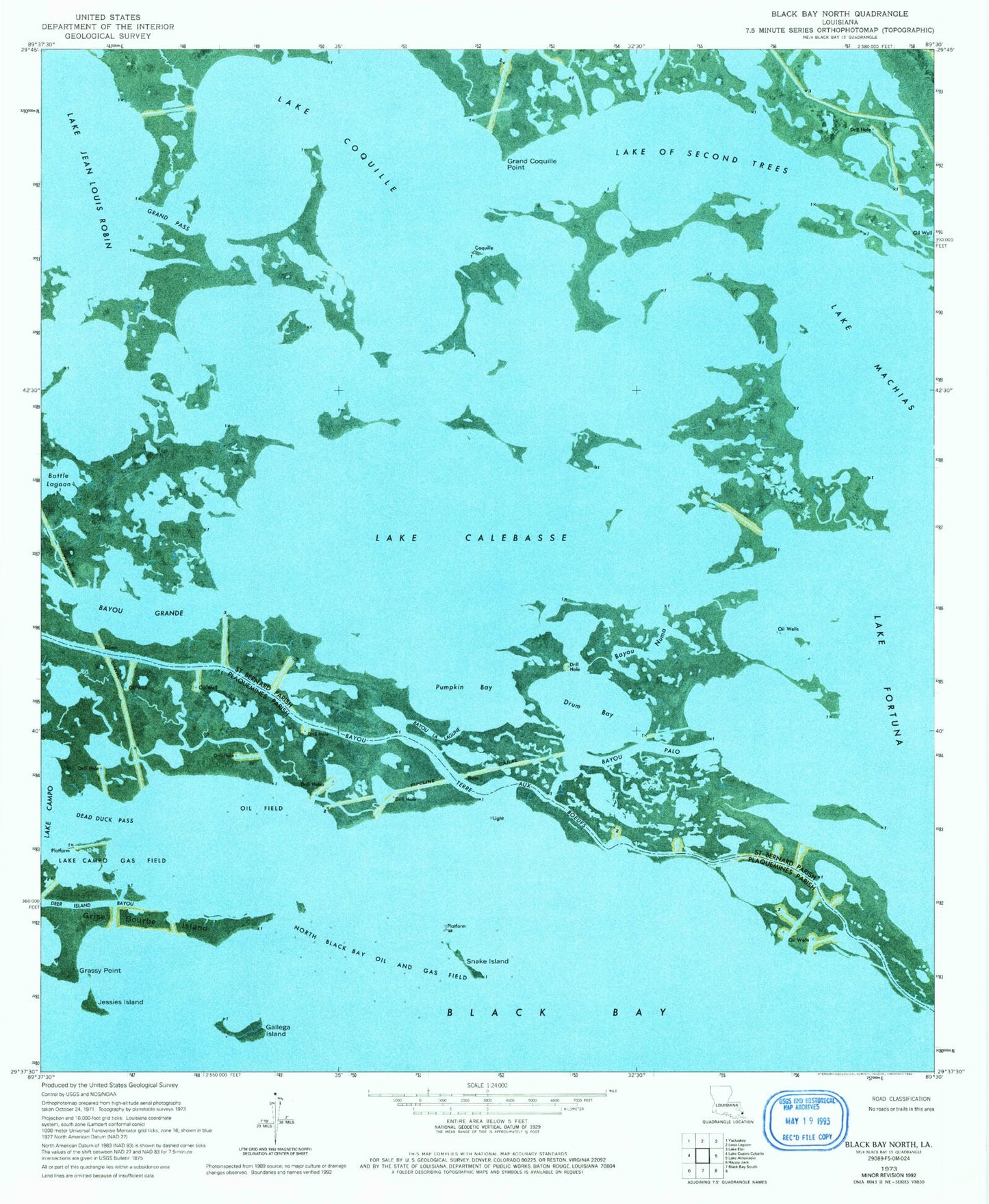
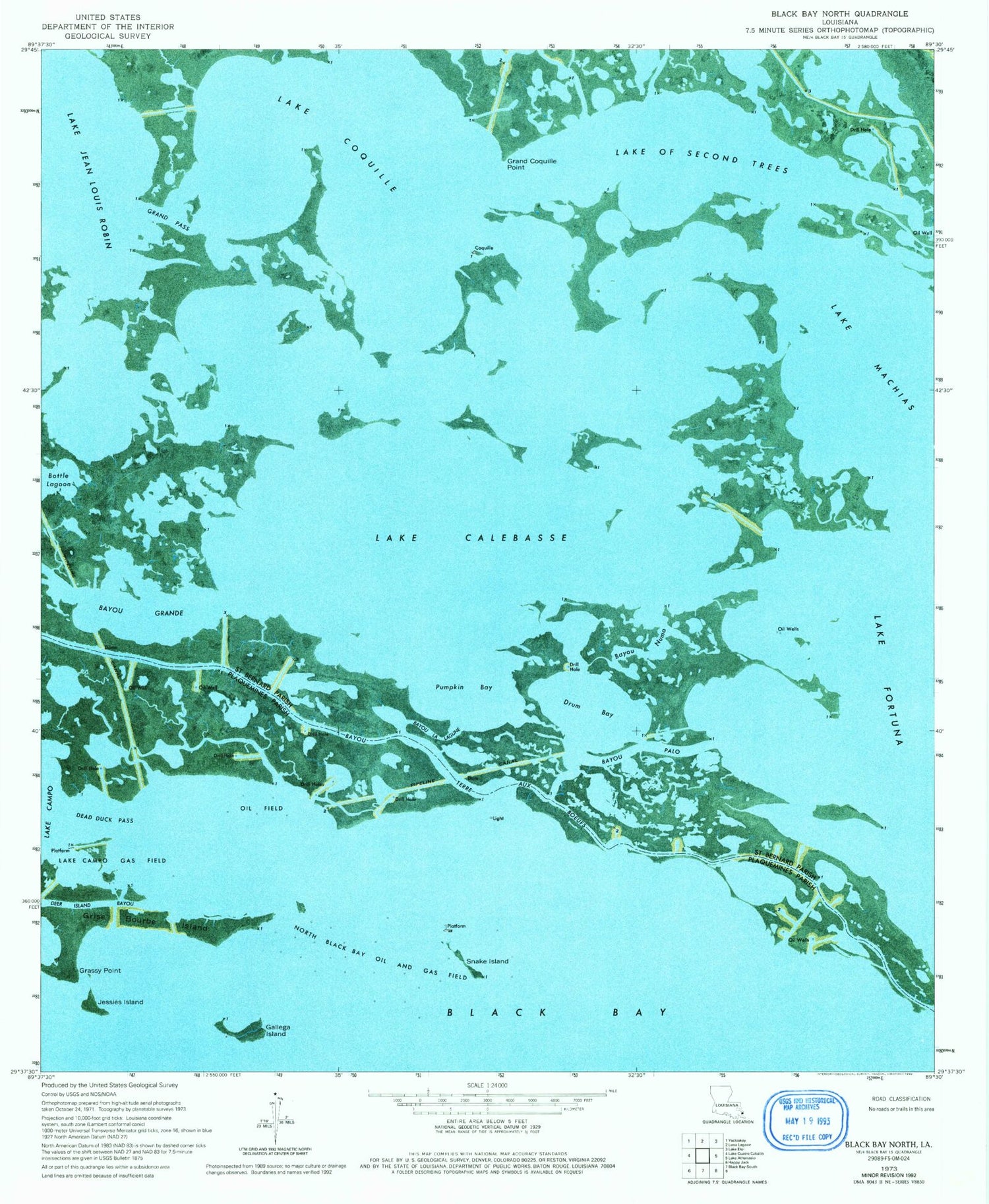
Classic USGS Black Bay North Louisiana 7.5'x7.5' Topo Map
Couldn't load pickup availability
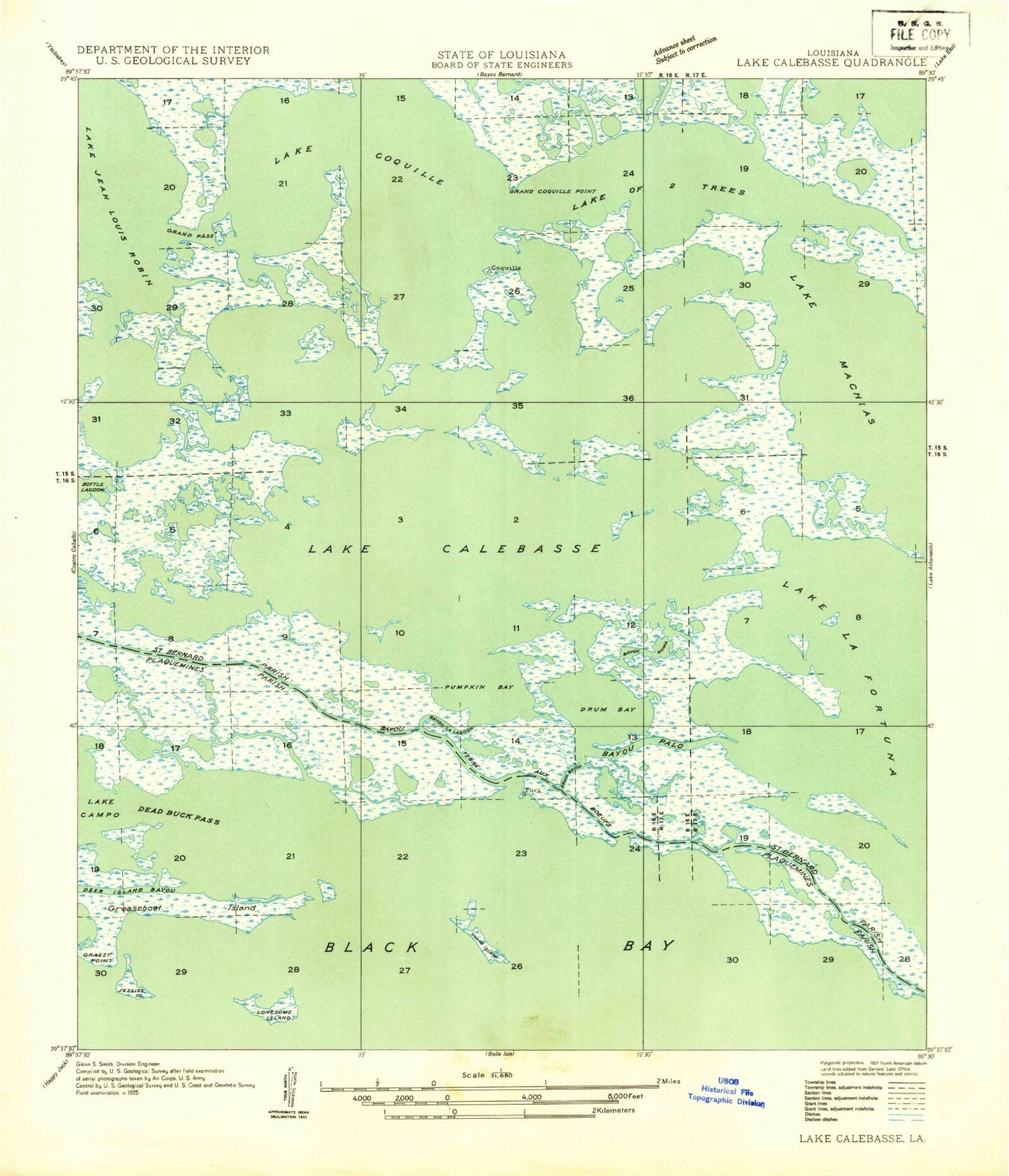
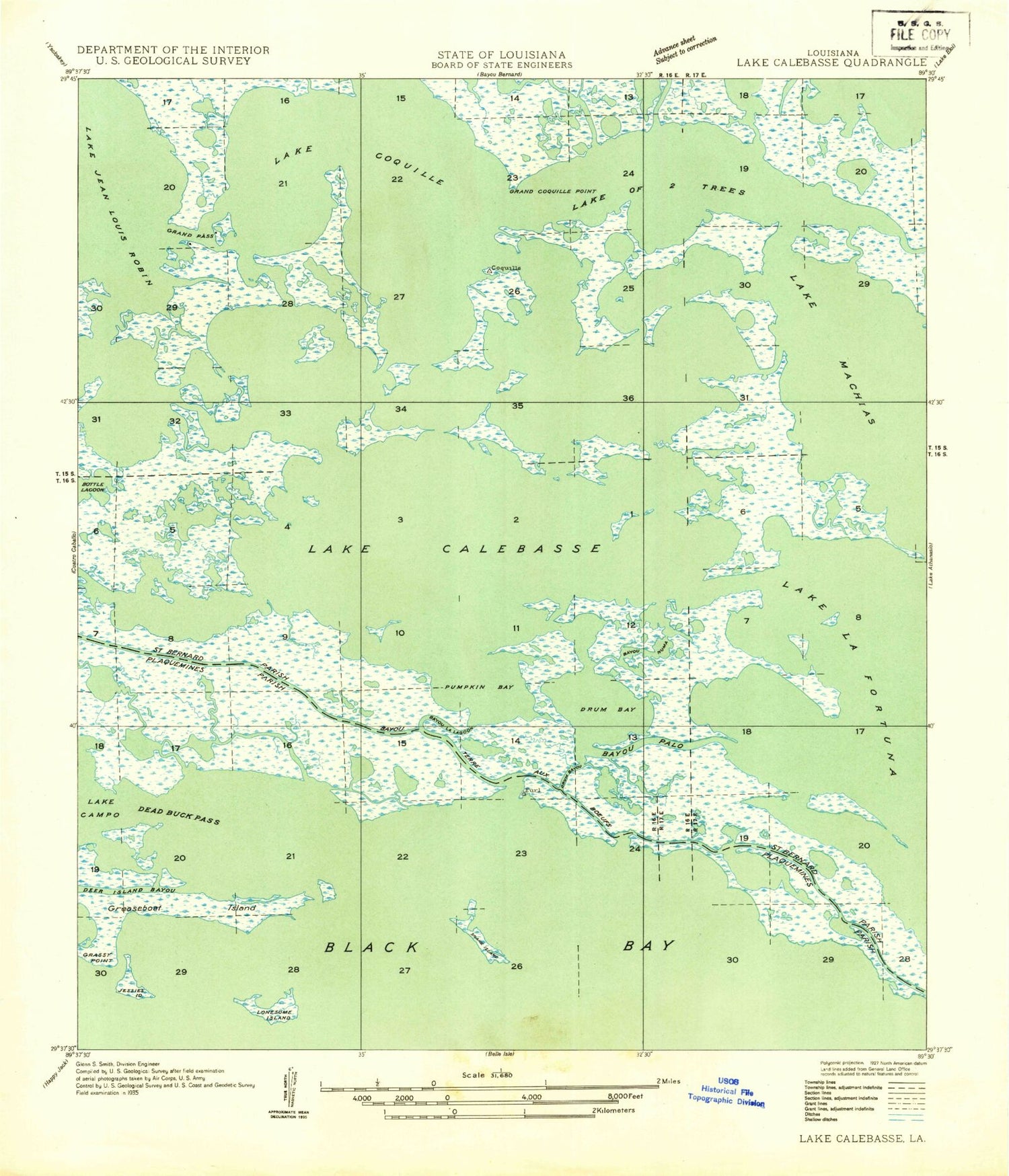
Historical USGS topographic quad map of Black Bay North in the state of Louisiana. Map scale may vary for some years, but is generally around 1:24,000. Print size is approximately 24" x 27"
This quadrangle is in the following counties: Plaquemines, St. Bernard.
The map contains contour lines, roads, rivers, towns, and lakes. Printed on high-quality waterproof paper with UV fade-resistant inks, and shipped rolled.
Contains the following named places: Bayou Grande, Bayou la Lagune, Bayou Numa, Bayou Palo, Block 12 Oil Field, Dead Duck Pass, Deer Island Bayou, Drum Bay, Gallega Island, Grand Coquille Point, Grand Pass, Grassy Point, Grise Bourbe Island, Jessies Island, Lake Calebasse, Lake Campo Gas Field, Lake Coquille, Lake of Second Trees, North Black Bay Oil and Gas Field, Pumpkin Bay, Snake Island