
MyTopo
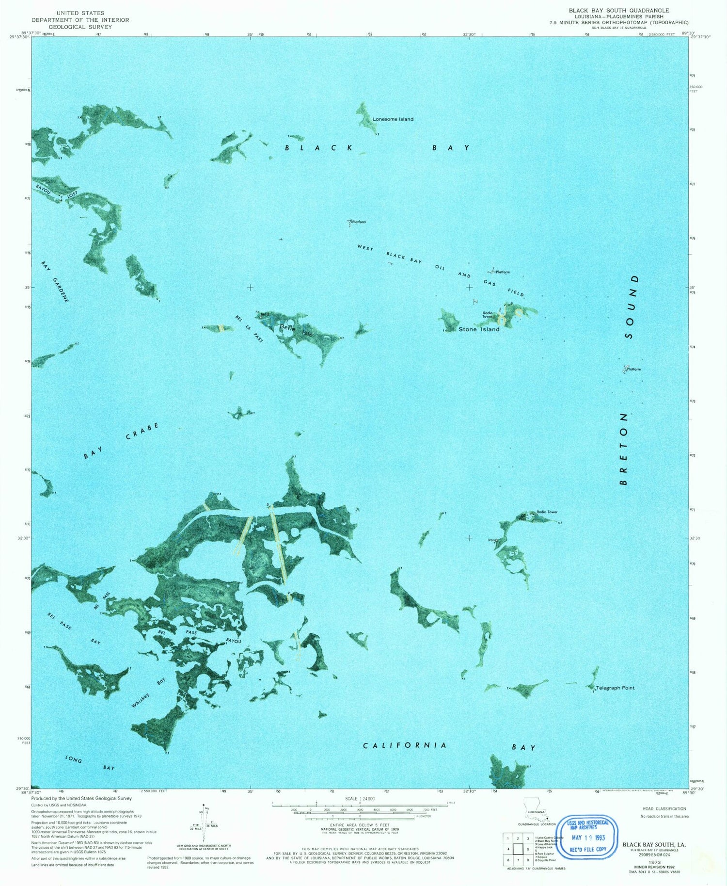
Classic USGS Black Bay South Louisiana 7.5'x7.5' Topo Map
Regular price
$16.95
Regular price
Sale price
$16.95
Unit price
per
Couldn't load pickup availability
Historical USGS topographic quad map of Black Bay South in the state of Louisiana. Map scale may vary for some years, but is generally around 1:24,000. Print size is approximately 24" x 27"
This quadrangle is in the following counties: Plaquemines.
The map contains contour lines, roads, rivers, towns, and lakes. Printed on high-quality waterproof paper with UV fade-resistant inks, and shipped rolled.
Contains the following named places: Bay Crabe, Bayou Lost, Bel La Pass, Bel Pass, Bel Pass Bay, Bel Pass Bayou, Belle Isle, Black Bay, Curfew Point, Lonesome Island, Long Bay, Stone Island, Telegraph Point, Ward Two, West Black Bay Oil and Gas Field, West Black Bay Seaplane Base, Whiskey Bay


