MyTopo
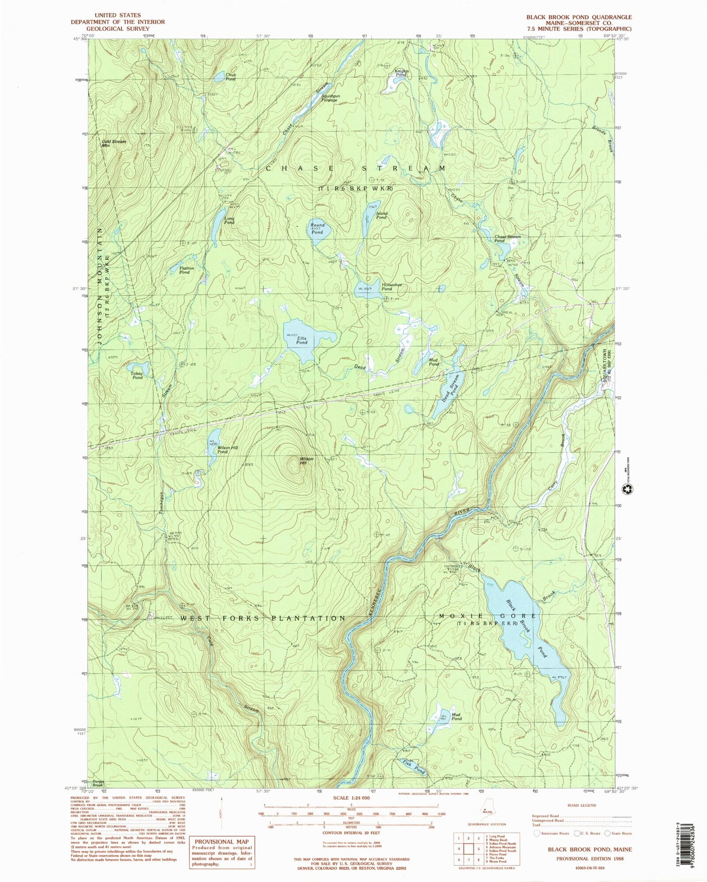
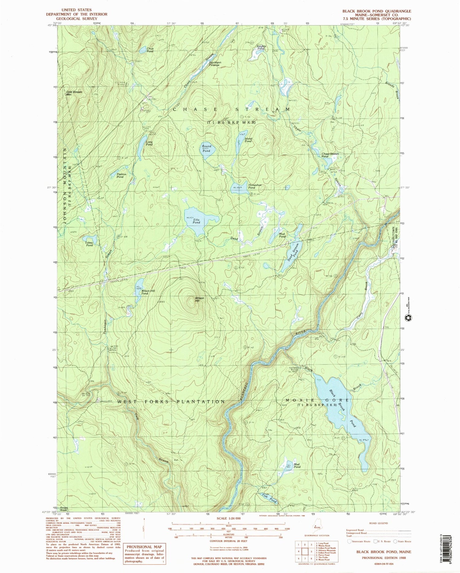
Classic USGS Black Brook Pond Maine 7.5'x7.5' Topo Map
Couldn't load pickup availability
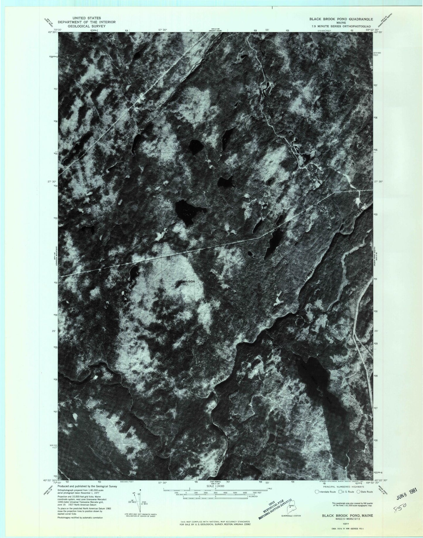
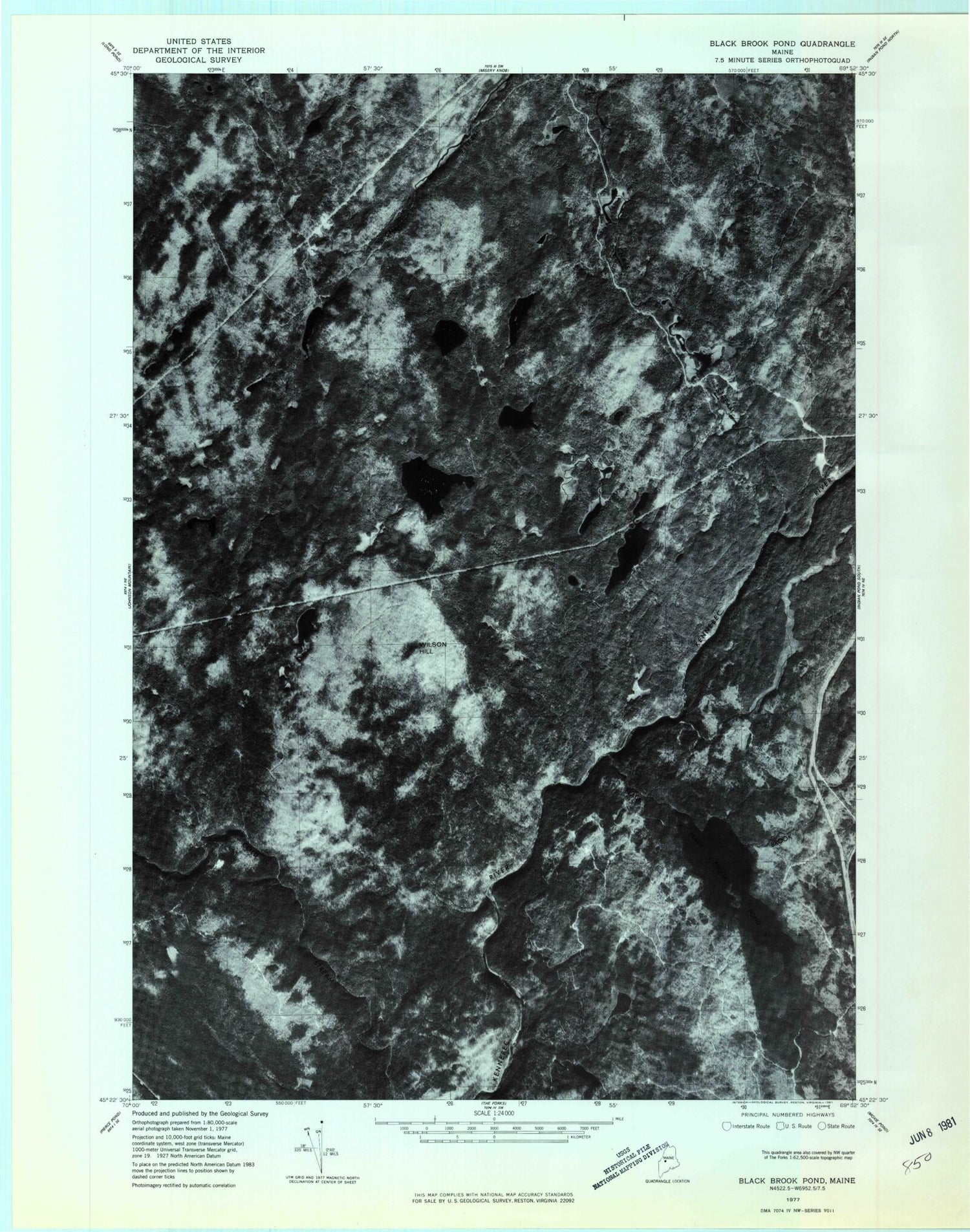
Historical USGS topographic quad map of Black Brook Pond in the state of Maine. Map scale is 1:24000. Print size is approximately 24" x 27"
This quadrangle is in the following counties: Somerset.
The map contains contour lines, roads, rivers, towns, and lakes. Printed on high-quality waterproof paper with UV fade-resistant inks, and shipped rolled.
Contains the following named places: Black Brook, Black Brook Pond, Carry Brook, Chase Stream, Chase Stream Pond, Chase Stream Township, Chub Pond, Dead Stream, Dead Stream Pond, Ellis Pond, Fish Pond, Flatiron Pond, Horseshoe Pond, Island Pond, Knights Pond, Long Pond, Moxie Gore, Mud Pond, Mud Pond, Round Pond, Squirtgun Flowage, Tobey Pond, Tomhegan Stream, Unorganized Territory of Northeast Somerset, Wilson Hill, Wilson Hill Pond


