MyTopo
Classic USGS Black Butte Oregon 7.5'x7.5' Topo Map
Couldn't load pickup availability
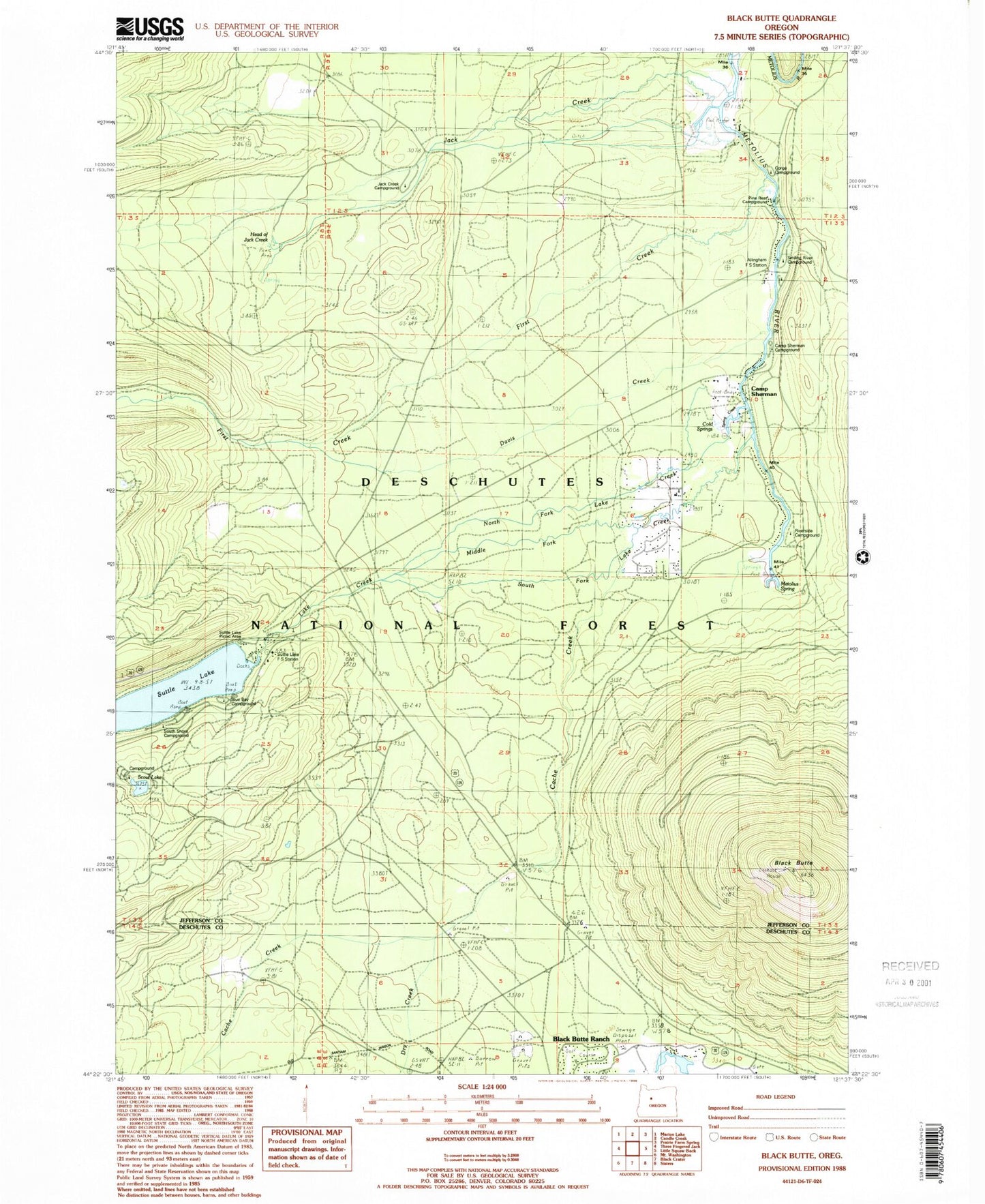
Historical USGS topographic quad map of Black Butte in the state of Oregon. Typical map scale is 1:24,000, but may vary for certain years, if available. Print size: 24" x 27"
This quadrangle is in the following counties: Deschutes, Jefferson.
The map contains contour lines, roads, rivers, towns, and lakes. Printed on high-quality waterproof paper with UV fade-resistant inks, and shipped rolled.
Contains the following named places: Suttle Lake Forest Service Station, Allingham Guard Station, Black Butte, Black Butte Ranch, Black Butte Elementary School, Cache Creek, Camp Sherman, Circle M Ranch, Cold Springs, Davis Creek, Dry Creek, First Creek, Jack Creek, Lake Creek, Metolius Spring, Middle Fork Lake Creek, North Fork Lake Creek, Pine Rest Recreation Site, Riverside Recreation Site, Scout Lake, Scout Lake Group Camp, South Fork Lake Creek, South Shore Recreation Site, Suttle Lake, Spring Creek, Methodist Youth Camp, Camp Sherman Recreation Site, Lake Creek Lodge, Jack Creek Recreation Site, House on the Metolius Resort, Head of Jack Creek, Allingham Recreation Site, River Island Forest Camp (historical), Smiling River Recreation Site, Blue Bay Recreation Site, Gorge Recreation Site, Matoles Post Office (historical), Black Butte Ranch Post Office, Camp Sherman Post Office, Head of the Metolius, Black Butte Lookout Station, Suttle Lake Resort, Cinder Beach Recreation Site, Head of Metolius Recreation Site, Camp Sherman Fire Department, Camp Sherman Census Designated Place, Black Butte Ranch Wastewater Treatment Plant, Suttle Lake Resort Dock, Blue Bay Campground Boat Ramp, South Shore Campground Boat Ramp


