MyTopo
Classic USGS Black Butte Washington 7.5'x7.5' Topo Map
Couldn't load pickup availability
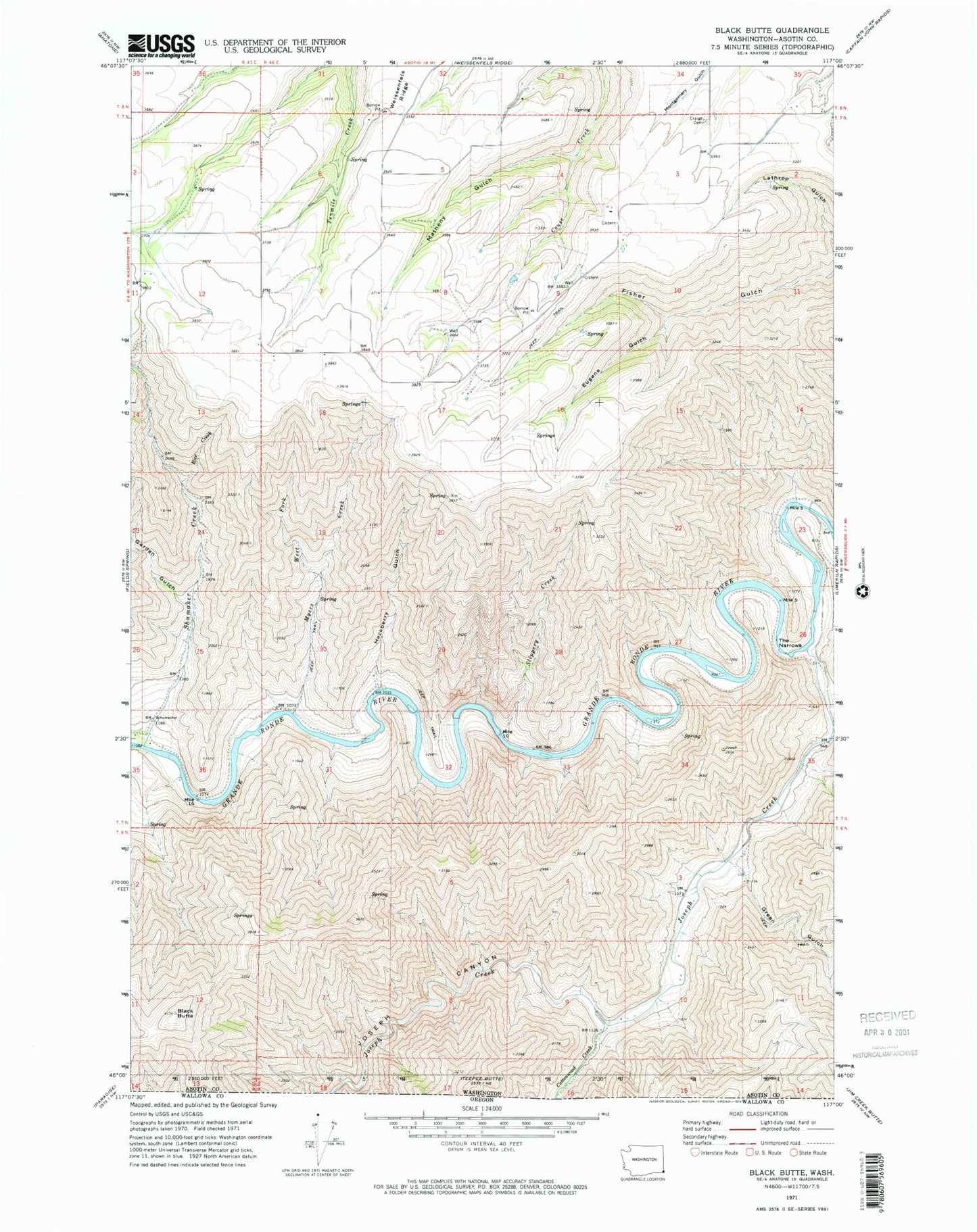
Historical USGS topographic quad map of Black Butte in the states of Washington, Oregon. Typical map scale is 1:24,000, but may vary for certain years, if available. Print size: 24" x 27"
This quadrangle is in the following counties: Asotin.
The map contains contour lines, roads, rivers, towns, and lakes. Printed on high-quality waterproof paper with UV fade-resistant inks, and shipped rolled.
Contains the following named places: Cottonwood Creek, Joseph Canyon, Black Butte, Craige Cemetery, Eugene Gulch, Garden Gulch, Green Gulch, Hackberry Gulch, Joseph Creek, Matheny Gulch, Myers Creek, Rice Creek, Shumaker Creek, Slippery Creek, The Narrows, Weissenfels Ridge, West Fork Myers Creek, Chief Joseph State Wildlife Recreation Area, Joseph Creek