MyTopo
Classic USGS Black Canyon City Arizona 7.5'x7.5' Topo Map
Couldn't load pickup availability
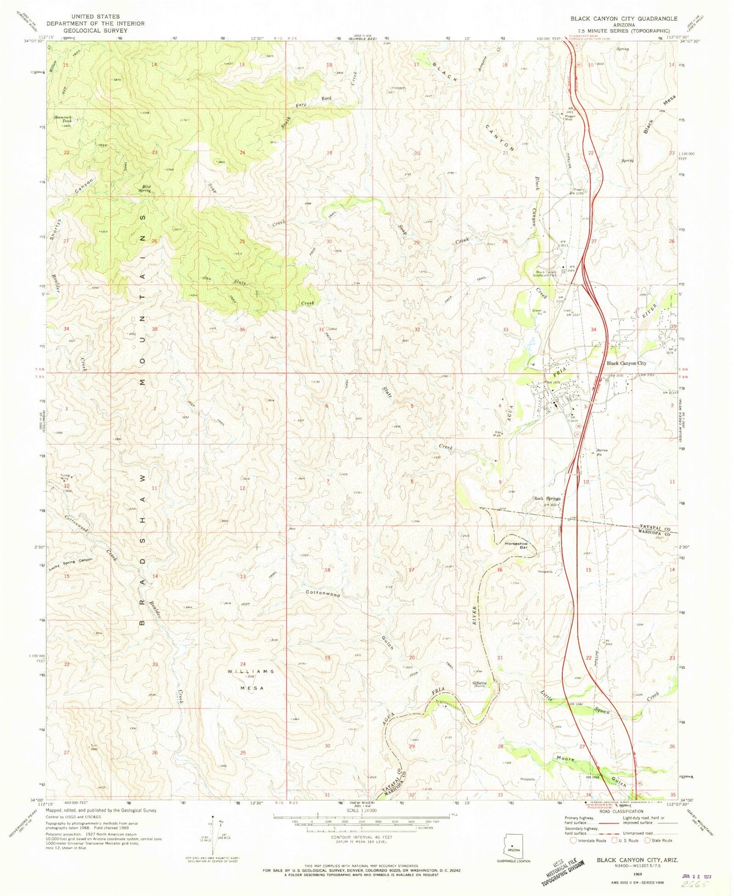
Historical USGS topographic quad map of Black Canyon City in the state of Arizona. Typical map scale is 1:24,000, but may vary for certain years, if available. Print size: 24" x 27"
This quadrangle is in the following counties: Maricopa, Yavapai.
The map contains contour lines, roads, rivers, towns, and lakes. Printed on high-quality waterproof paper with UV fade-resistant inks, and shipped rolled.
Contains the following named places: Bird Spring, Black Canyon Greyhound Park, Cottonwood Creek, Cottonwood Gulch, Horseshoe Bar, Kay Mine, Lucky Spring Canyon, Maggie Mine, Shamrock Tank, Shortys Canyon, Slate Creek, Soap Creek, Tiptop Mine, Williams Mesa, Black Canyon School, Mud Springs Underpass, Rock Springs Substation, Gillette, Rock Springs, Arrastre Creek, Black Canyon, Black Canyon City, Black Canyon Creek, Little Squaw Creek, Moore Gulch, KVET-AM (Black Canyon City), Black Canyon City Post Office, Black Canyon City Medical Center Heliport, KUET-AM (Black Canyon City), Tip Top (historical), Canon School, Black Canyon City Community Library, Calvary Chapel, Kingdom Hall of Jehovahs Witnesses, Daisy Mountain Fire Department Station 143, Black Canyon City Municipal Memorial Park


