MyTopo
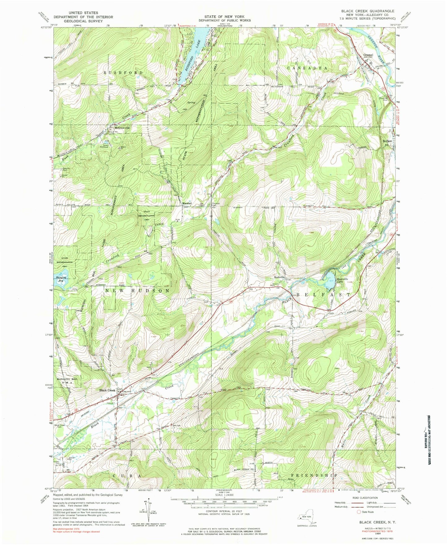
Classic USGS Black Creek New York 7.5'x7.5' Topo Map
Couldn't load pickup availability
Historical USGS topographic quad map of Black Creek in the state of New York. Typical map scale is 1:24,000, but may vary for certain years, if available. Print size: 24" x 27"
This quadrangle is in the following counties: Allegany.
The map contains contour lines, roads, rivers, towns, and lakes. Printed on high-quality waterproof paper with UV fade-resistant inks, and shipped rolled.
Contains the following named places: Bellville Cemetery, Black Creek, Black Creek Cemetery, Camp Rushford, Crawford Creek, Genesee Valley Canal, Hanging Bog, Hanging Bog Game Management Area, Marshall Cemetery, Oramel, Rockville, Rockville Lake, Rush Creek, Marshall, McGrawville, Town of Belfast, Sayers Cemetery, Bellville Wesleyan Church, Black Creek Post Office, Friendship Amish School, Valleyview Amish School, Oramel Fire Department, New Hudson Volunteer Fire Company