MyTopo
Classic USGS Black Gap Texas 7.5'x7.5' Topo Map
Regular price
$16.95
Regular price
Sale price
$16.95
Unit price
per
Couldn't load pickup availability
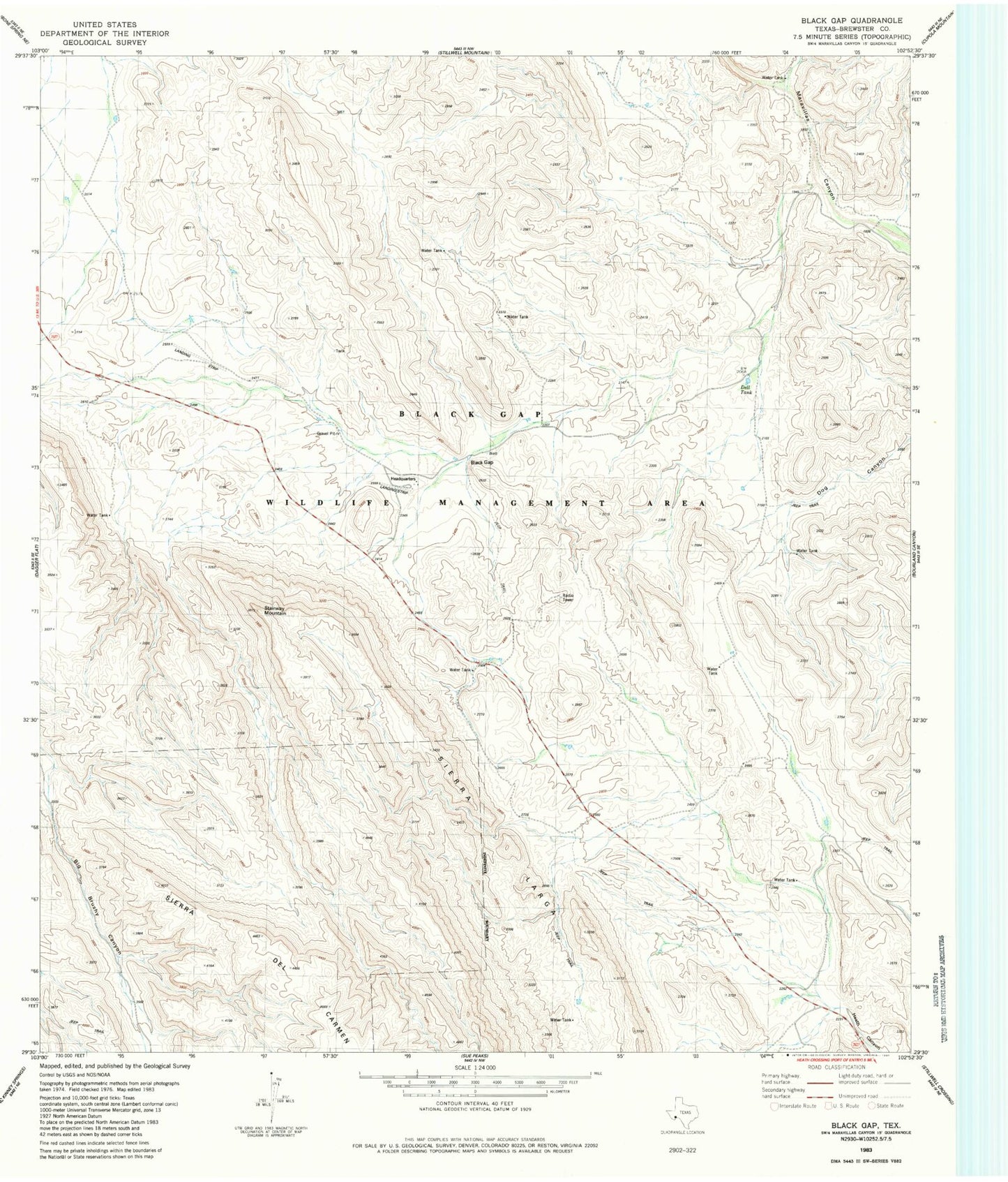
Historical USGS topographic quad map of Black Gap in the state of Texas. Map scale may vary for some years, but is generally around 1:24,000. Print size is approximately 24" x 27"
This quadrangle is in the following counties: Brewster.
The map contains contour lines, roads, rivers, towns, and lakes. Printed on high-quality waterproof paper with UV fade-resistant inks, and shipped rolled.
Contains the following named places: Bee Cove Tank, Black Gap, Black Gap Wildlife Management Area, Black Gap WMA Trail, Dett Tank, Hole in the Ground Tank, Redhouse Tank, Rockhouse Tank, Sierra Larga, Stairway Mountain