MyTopo
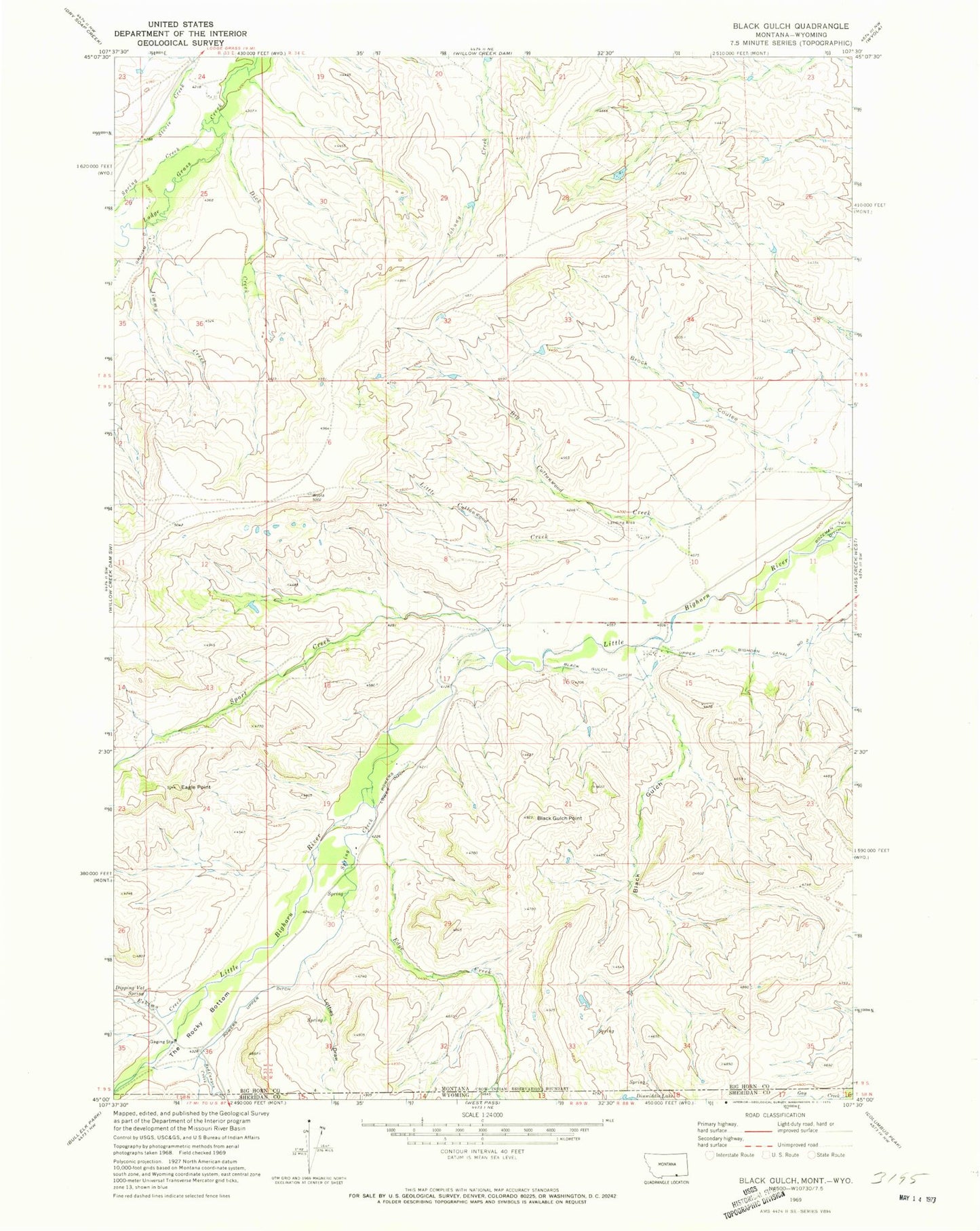
Classic USGS Black Gulch Montana 7.5'x7.5' Topo Map
Couldn't load pickup availability
Historical USGS topographic quad map of Black Gulch in the state of Montana. Map scale may vary for some years, but is generally around 1:24,000. Print size is approximately 24" x 27"
This quadrangle is in the following counties: Big Horn, Sheridan.
The map contains contour lines, roads, rivers, towns, and lakes. Printed on high-quality waterproof paper with UV fade-resistant inks, and shipped rolled.
Contains the following named places: Big Cottonwood Creek, Black Gulch, Black Gulch Ditch, Black Gulch Point, Brock Coulee, Dick Creek, Dipping Vat Spring, Eagle Point, Edge Creek, Eskimo Creek, Graham Ditch, Jimmy Creek, Little Cottonwood Creek, Little Horn School, Lotties Draw, Powers School, Powers Upper Ditch, Red Canyon Creek, Red Gulch, Sport Creek, Spring Creek, The Rocky Bottom