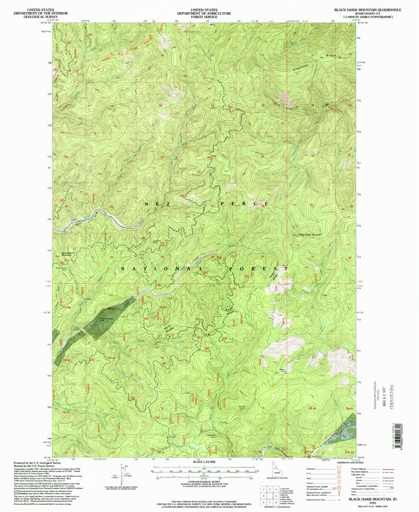
MyTopo
Classic USGS Black Hawk Mountain Idaho 7.5'x7.5' Topo Map
Regular price
$16.95
Regular price
Sale price
$16.95
Unit price
per
Couldn't load pickup availability
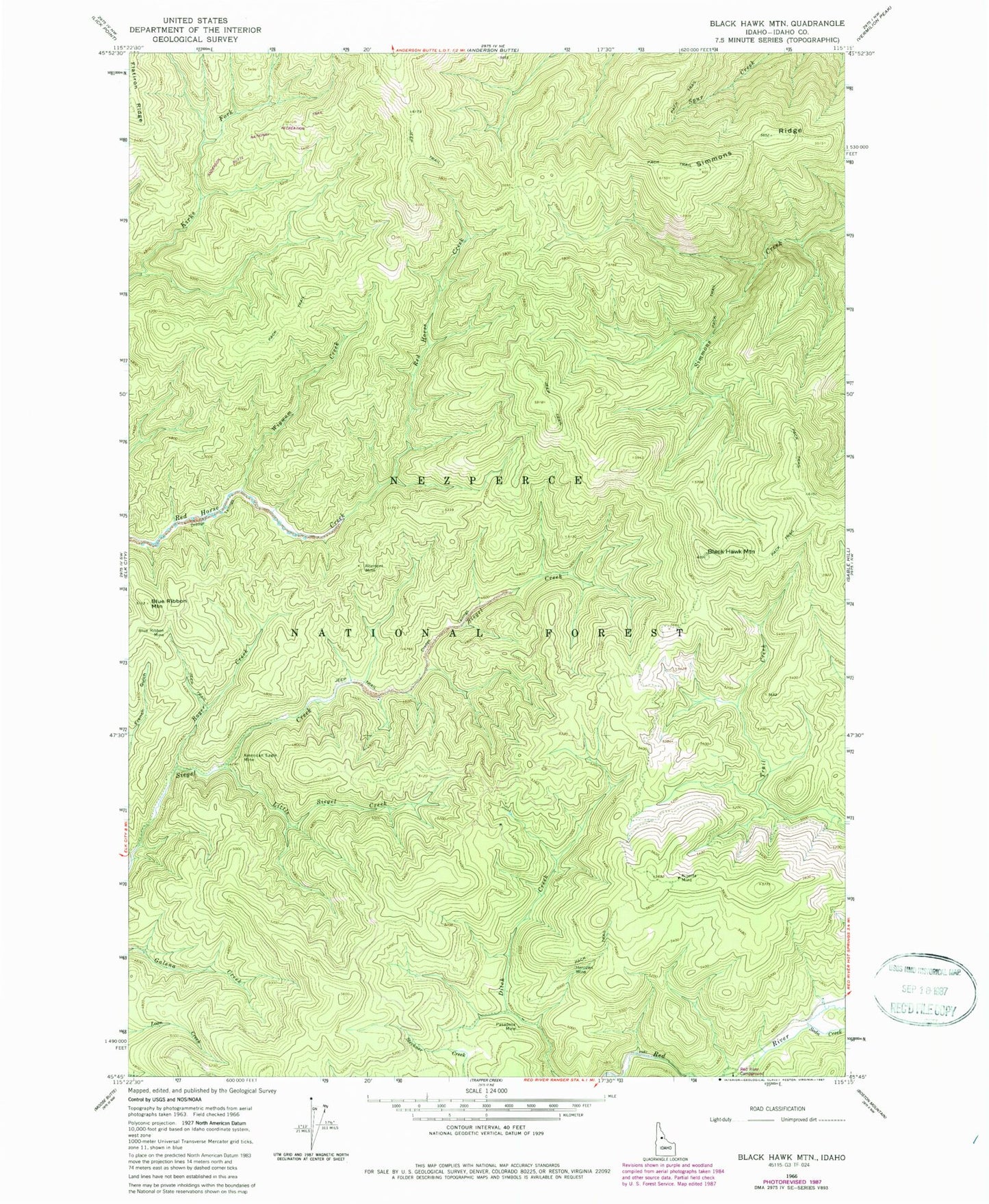
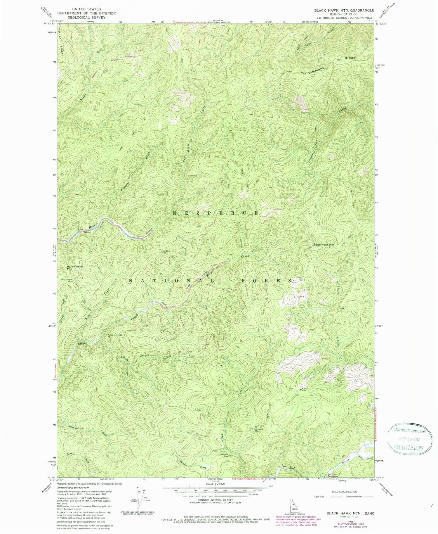
Historical USGS topographic quad map of Black Hawk Mountain in the state of Idaho. Map scale may vary for some years, but is generally around 1:24,000. Print size is approximately 24" x 27"
This quadrangle is in the following counties: Idaho.
The map contains contour lines, roads, rivers, towns, and lakes. Printed on high-quality waterproof paper with UV fade-resistant inks, and shipped rolled.
Contains the following named places: Alberta Mine, Altemont Mine, American Eagle Mine, Black Hawk Mountain, Blue Ribbon Mine, Blue Ribbon Mountain, Boyer Creek, Hercules Mine, Little Siegel Creek, Pasadena Mine, Red River Campground, Simmons Ridge, Soda Creek, Wigwam Creek