MyTopo
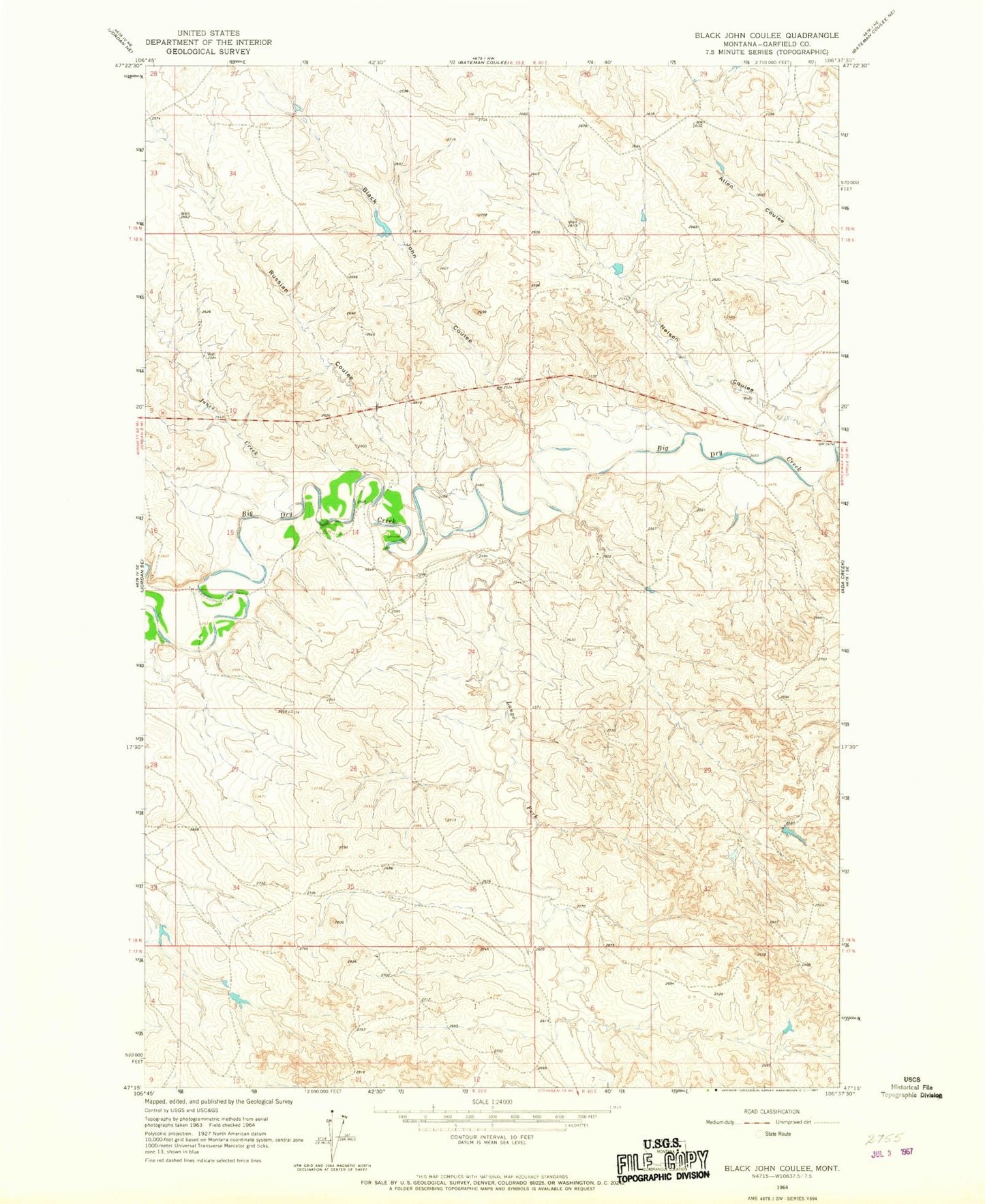
Classic USGS Black John Coulee Montana 7.5'x7.5' Topo Map
Regular price
$16.95
Regular price
Sale price
$16.95
Unit price
per
Couldn't load pickup availability
Historical USGS topographic quad map of Black John Coulee in the state of Montana. Map scale may vary for some years, but is generally around 1:24,000. Print size is approximately 24" x 27"
This quadrangle is in the following counties: Garfield.
The map contains contour lines, roads, rivers, towns, and lakes. Printed on high-quality waterproof paper with UV fade-resistant inks, and shipped rolled.
Contains the following named places: 18N39E13ADCD01 Well, 18N39E15C___01 Well, 18N40E08D___01 Well, Big Bucks Number 10 Dam, Black John Coulee, Harbaugh Number 1 Dam, Jones Creek, Langs Fork, Nelson Coulee, Russian Coulee