MyTopo
Classic USGS Black Leg Creek Idaho 7.5'x7.5' Topo Map
Couldn't load pickup availability
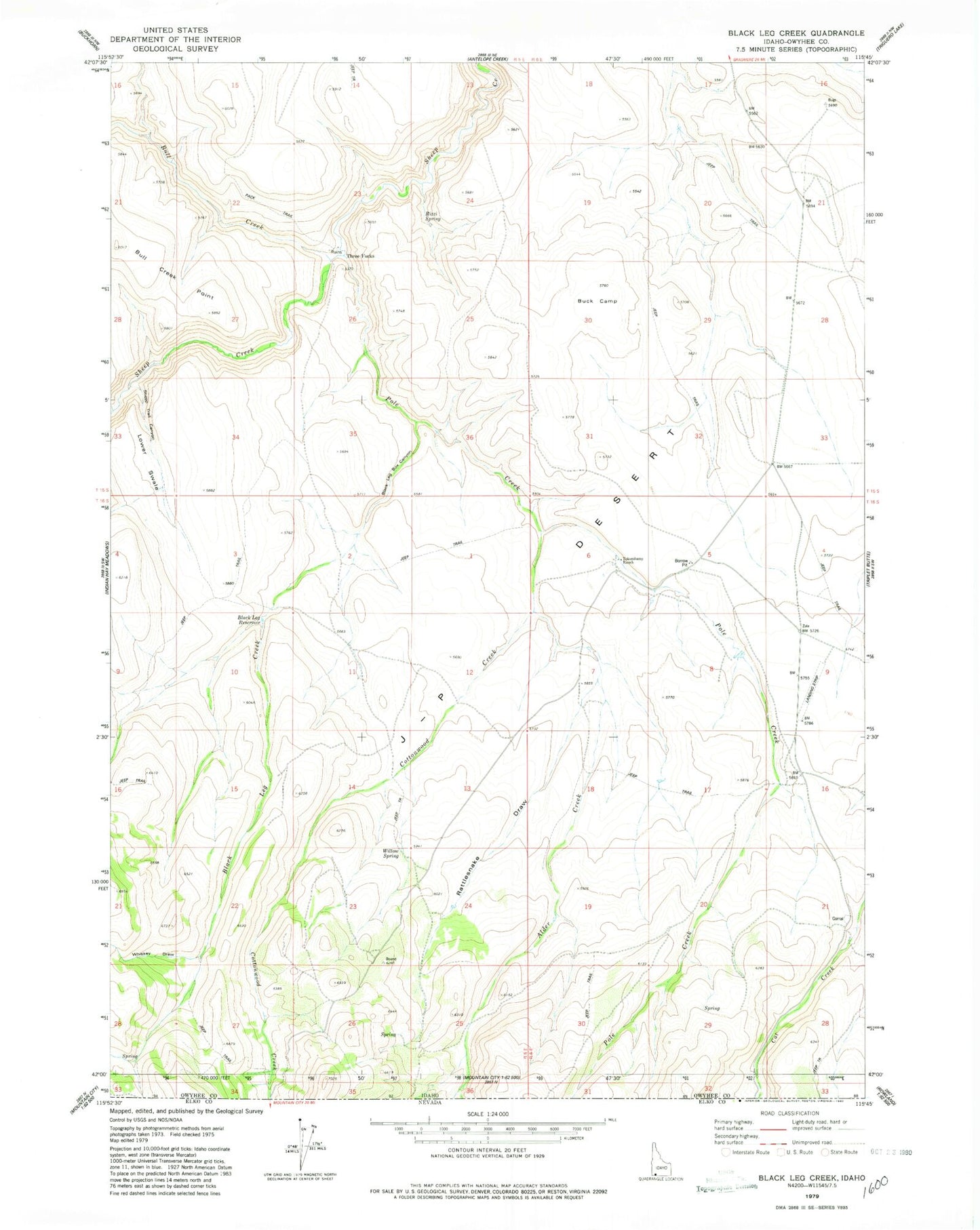
Historical USGS topographic quad map of Black Leg Creek in the state of Idaho. Map scale may vary for some years, but is generally around 1:24,000. Print size is approximately 24" x 27"
This quadrangle is in the following counties: Owyhee.
The map contains contour lines, roads, rivers, towns, and lakes. Printed on high-quality waterproof paper with UV fade-resistant inks, and shipped rolled.
Contains the following named places: Alder Creek, Billings Dam, Billings Reservoir, Black Leg Box Canyon, Black Leg Creek, Black Leg Reservoir, Buck Camp, Bull Creek, Cottonwood Creek, Lower Swale, Pole Creek, Rattlesnake Draw, Rizzi Spring, Sheep Trail Canyon, Tokembamy Ranch, Upper Swale, Whiskey Draw, Willow Spring