MyTopo
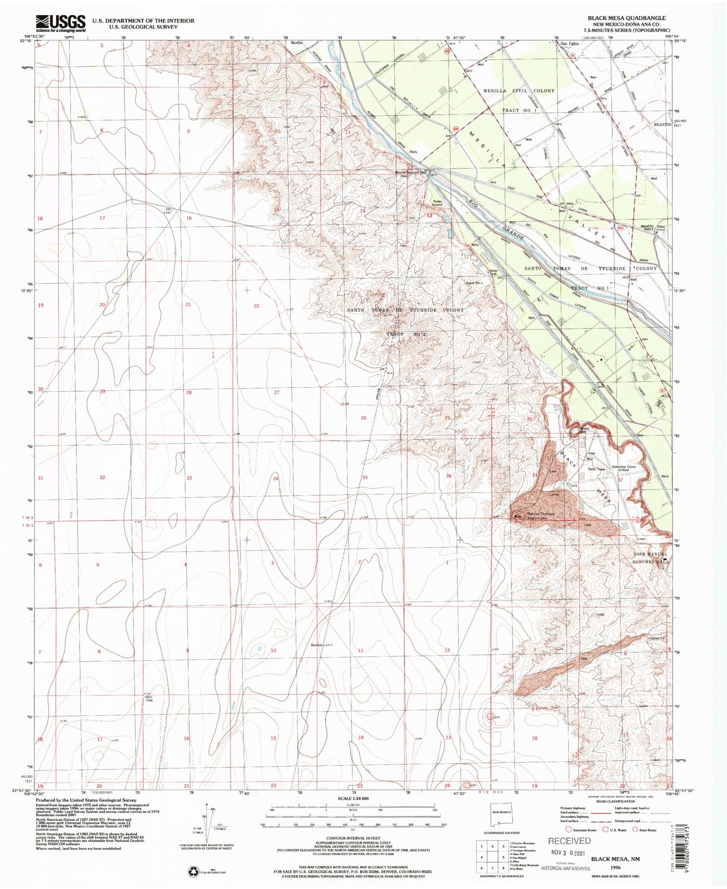
Classic USGS Black Mesa New Mexico 7.5'x7.5' Topo Map
Couldn't load pickup availability
Historical USGS topographic quad map of Black Mesa in the state of New Mexico. Map scale may vary for some years, but is generally around 1:24,000. Print size is approximately 24" x 27"
This quadrangle is in the following counties: Do��a Ana.
The map contains contour lines, roads, rivers, towns, and lakes. Printed on high-quality waterproof paper with UV fade-resistant inks, and shipped rolled.
Contains the following named places: Black Mesa, Del Rio Drain, Del Rio Lateral, Louisiana Lateral, M-1A Water Well, M-1B Water Well, M-1C Water Well, M-2A Water Well, M-2B Water Well, M-2C Water Well, Mesilla Diversion Dam, Park Drain, San Pablo, Santo Tomas Lateral, Santo Tomas Mountain, United States Bureau of Reclamation 48 Water Well, ZIP Code: 88044