MyTopo
Classic USGS Black Nubble Maine 7.5'x7.5' Topo Map
Regular price
$16.95
Regular price
Sale price
$16.95
Unit price
per
Couldn't load pickup availability
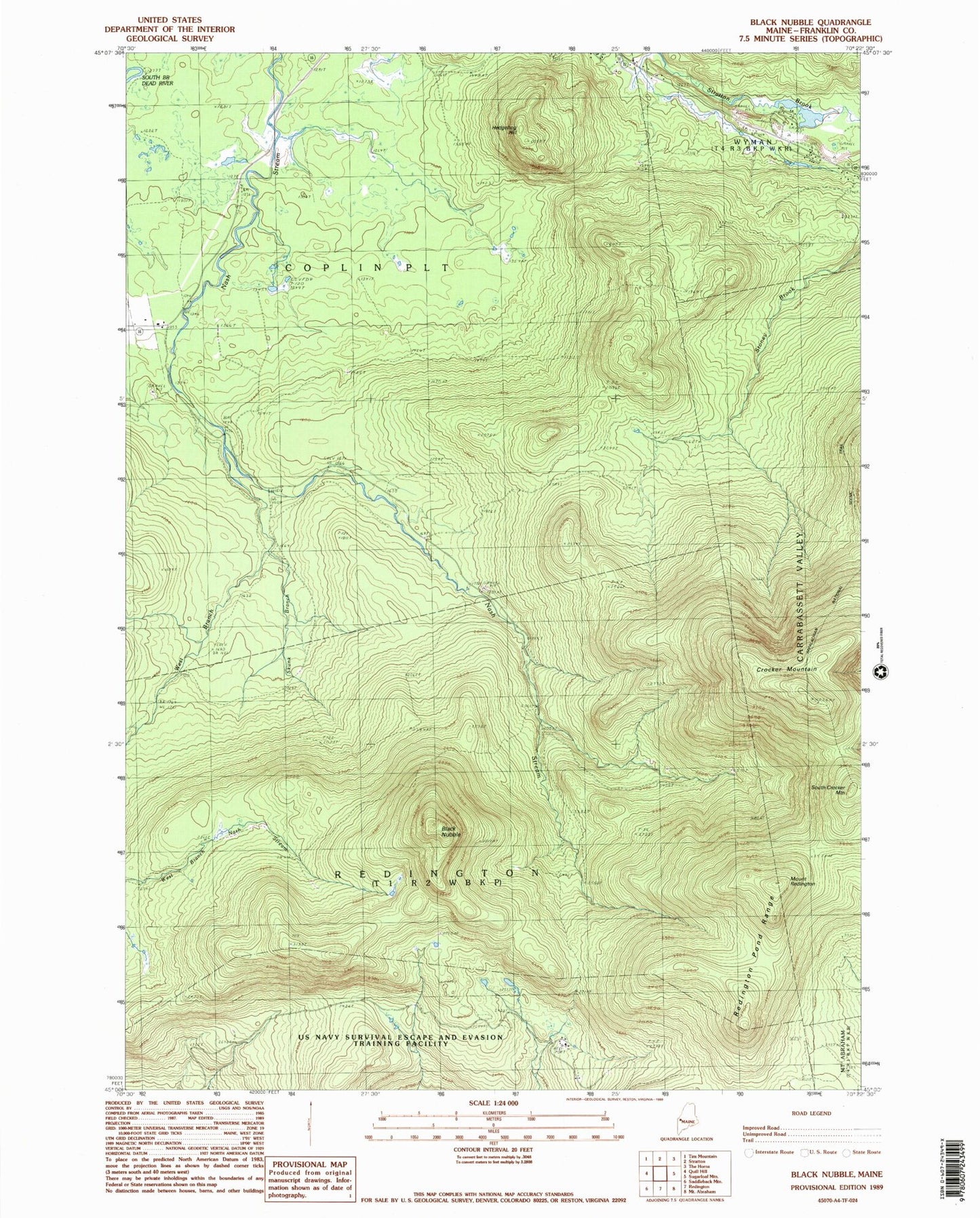
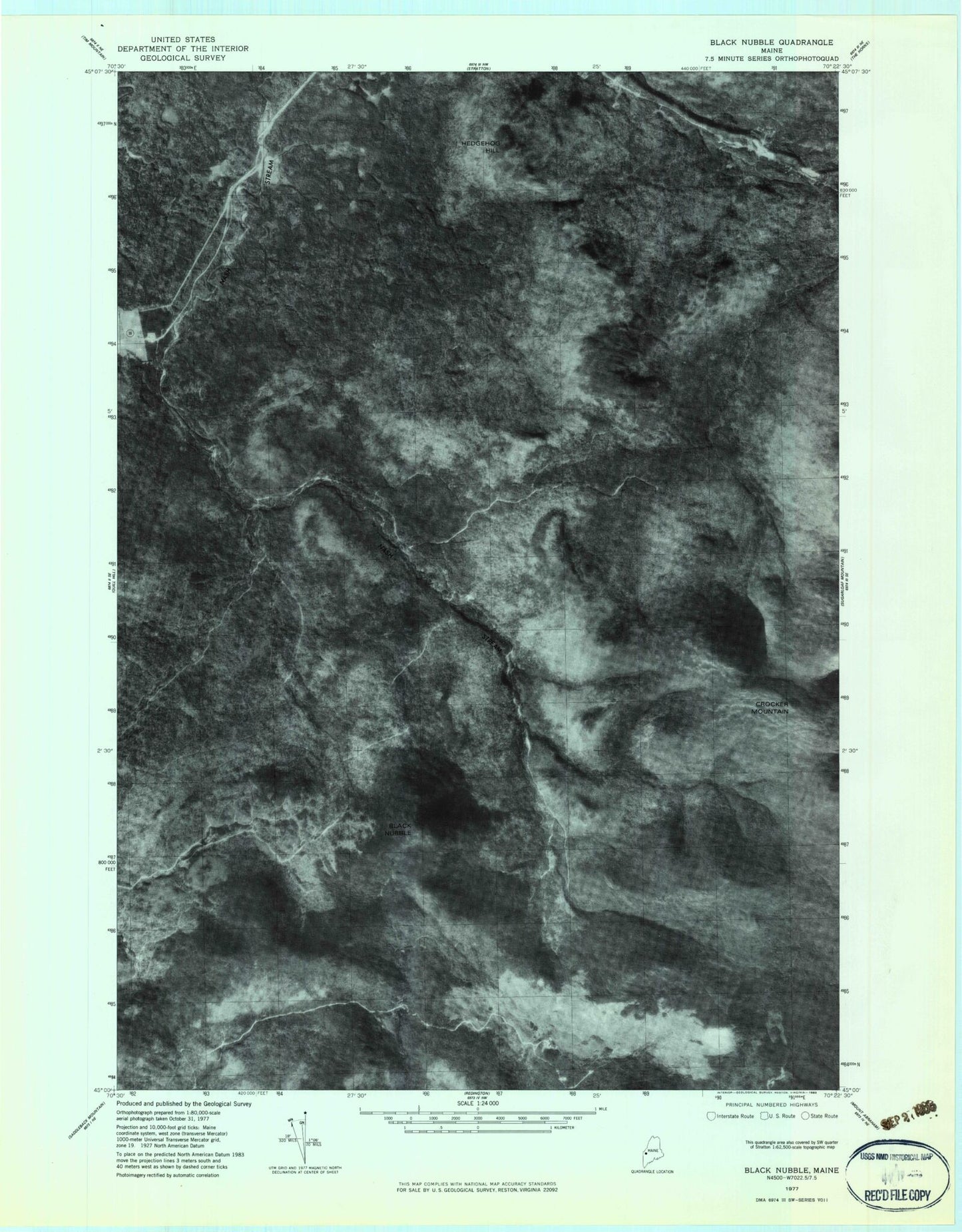
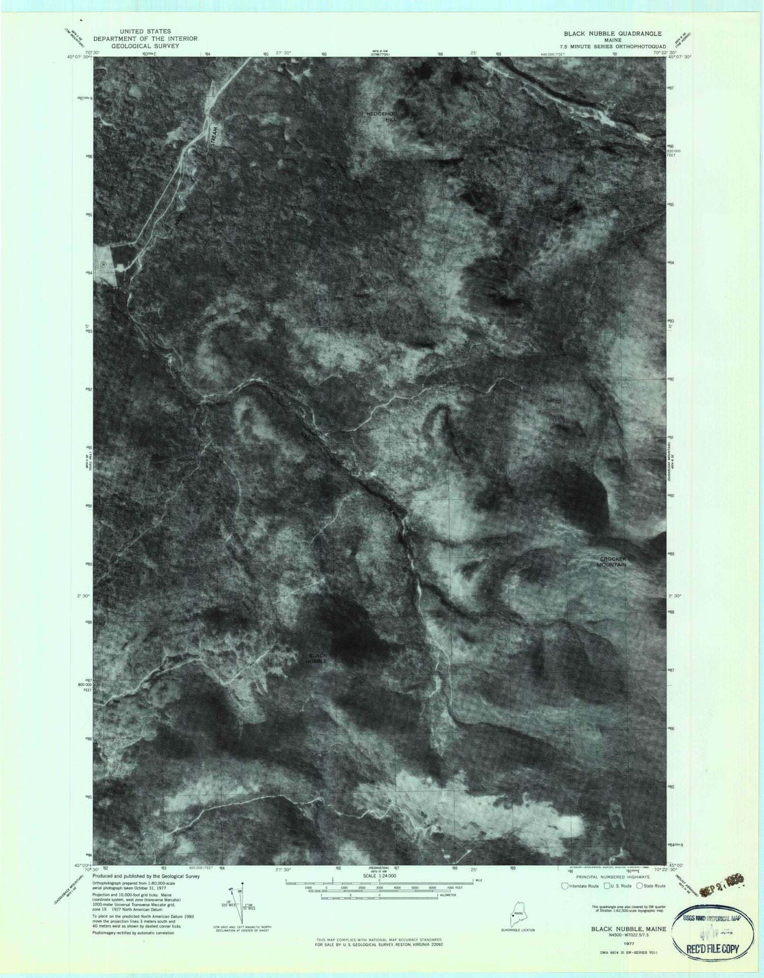
Historical USGS topographic quad map of Black Nubble in the state of Maine. Typical map scale is 1:24,000, but may vary for certain years, if available. Print size: 24" x 27"
This quadrangle is in the following counties: Franklin.
The map contains contour lines, roads, rivers, towns, and lakes. Printed on high-quality waterproof paper with UV fade-resistant inks, and shipped rolled.
Contains the following named places: Black Nubble, Coplin School, Crocker Mountain, Hedgehog Hill, Redington Pond Range, Skunk Branch, West Branch Nash Stream, Mount Redington, South Crocker Mountain, Plantation of Coplin, Redington Township