MyTopo
Classic USGS Black Point Montana 7.5'x7.5' Topo Map
Regular price
$16.95
Regular price
Sale price
$16.95
Unit price
per
Couldn't load pickup availability
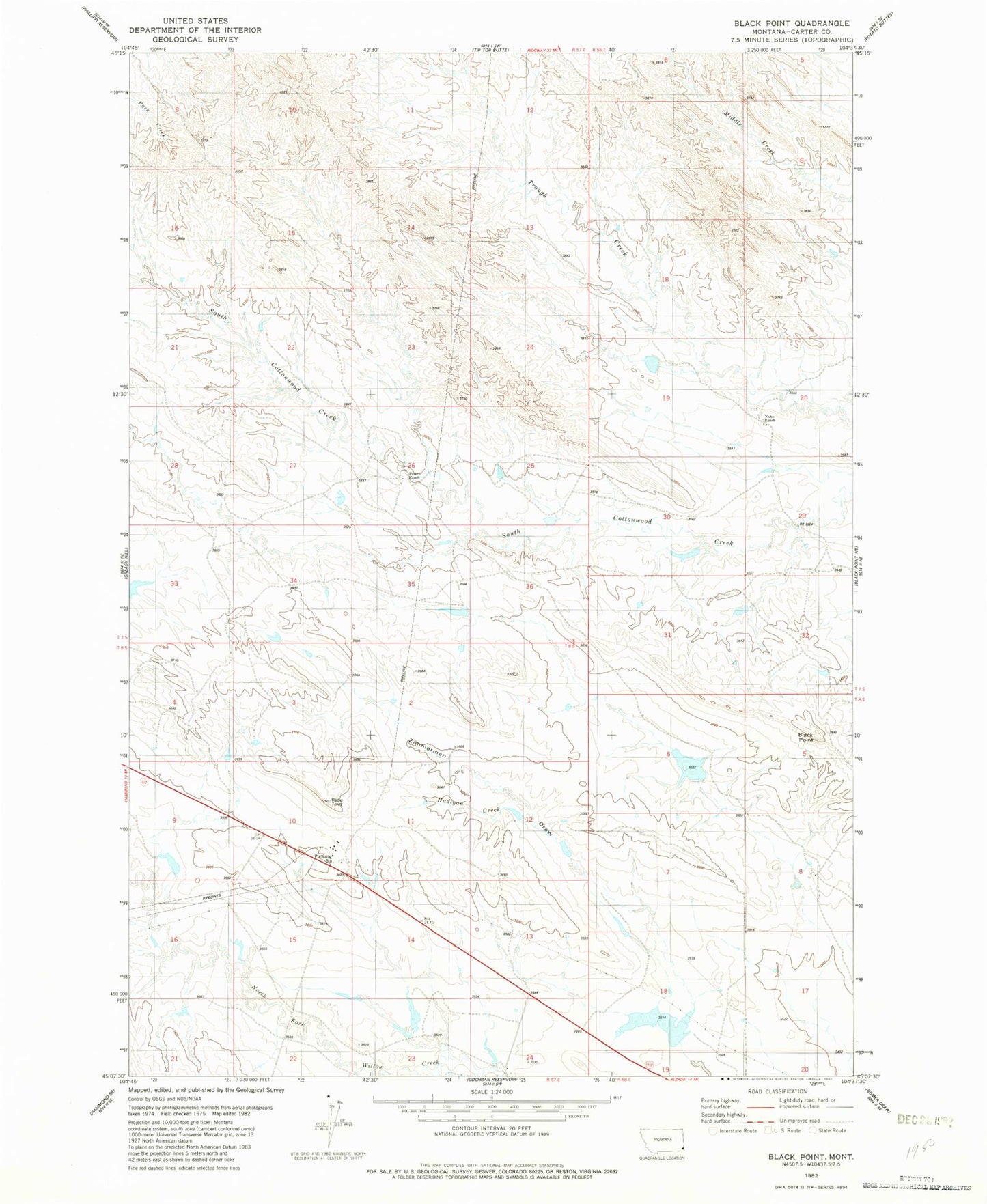
Historical USGS topographic quad map of Black Point in the state of Montana. Map scale may vary for some years, but is generally around 1:24,000. Print size is approximately 24" x 27"
This quadrangle is in the following counties: Carter.
The map contains contour lines, roads, rivers, towns, and lakes. Printed on high-quality waterproof paper with UV fade-resistant inks, and shipped rolled.
Contains the following named places: 07S58E20CAA_01 Well, 08S57E24CABC01 Well, Black Point, Cockran Grazing Number 5 Dam, Fruit Dam, Hadigan Creek, Nuhn Number 2 Dam, Nuhn Ranch, Peters Ranch