MyTopo
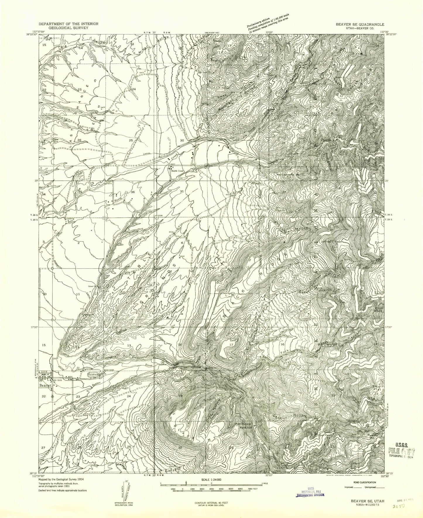
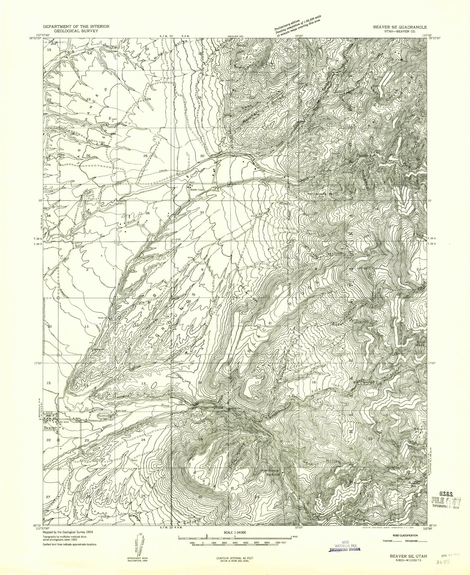
Classic USGS Black Ridge Utah 7.5'x7.5' Topo Map
Couldn't load pickup availability
Historical USGS topographic quad map of Black Ridge in the state of Utah. Map scale may vary for some years, but is generally around 1:24,000. Print size is approximately 24" x 27"
This quadrangle is in the following counties: Beaver.
The map contains contour lines, roads, rivers, towns, and lakes. Printed on high-quality waterproof paper with UV fade-resistant inks, and shipped rolled.
Contains the following named places: Bear Canyon, Beaver Division, Black Mountain, Black Ridge, Bone Hollow, Burnt Hollow, Cave Hollow, Drag Hollow, First Spring Creek, Fort Cameron, Grassy Canyon, Harris Ditch, Jim Reed Creek, Johnson Hollow, Johnson Peak, Last Chance Bench, Last Chance Canal, Lion Flat, Little Cottonwood Campground, Lower Power Plant, Mammoth Canal, Merchant Hollow, Miller Hollow, North Creek, North Creek Recreation Site, North Fork Baker Canyon, North Fork North Creek, Owens Ditch, Pine Creek, Pole Creek, Ponderosa Park, Rattlesnake Peak, Second Spring Creek, Skull Flat, South Field Ditch, South Fork Baker Canyon, South Fork North Creek, Sway Hollow, Table Grounds, United Beaver Camperland, Willis Ditch