MyTopo
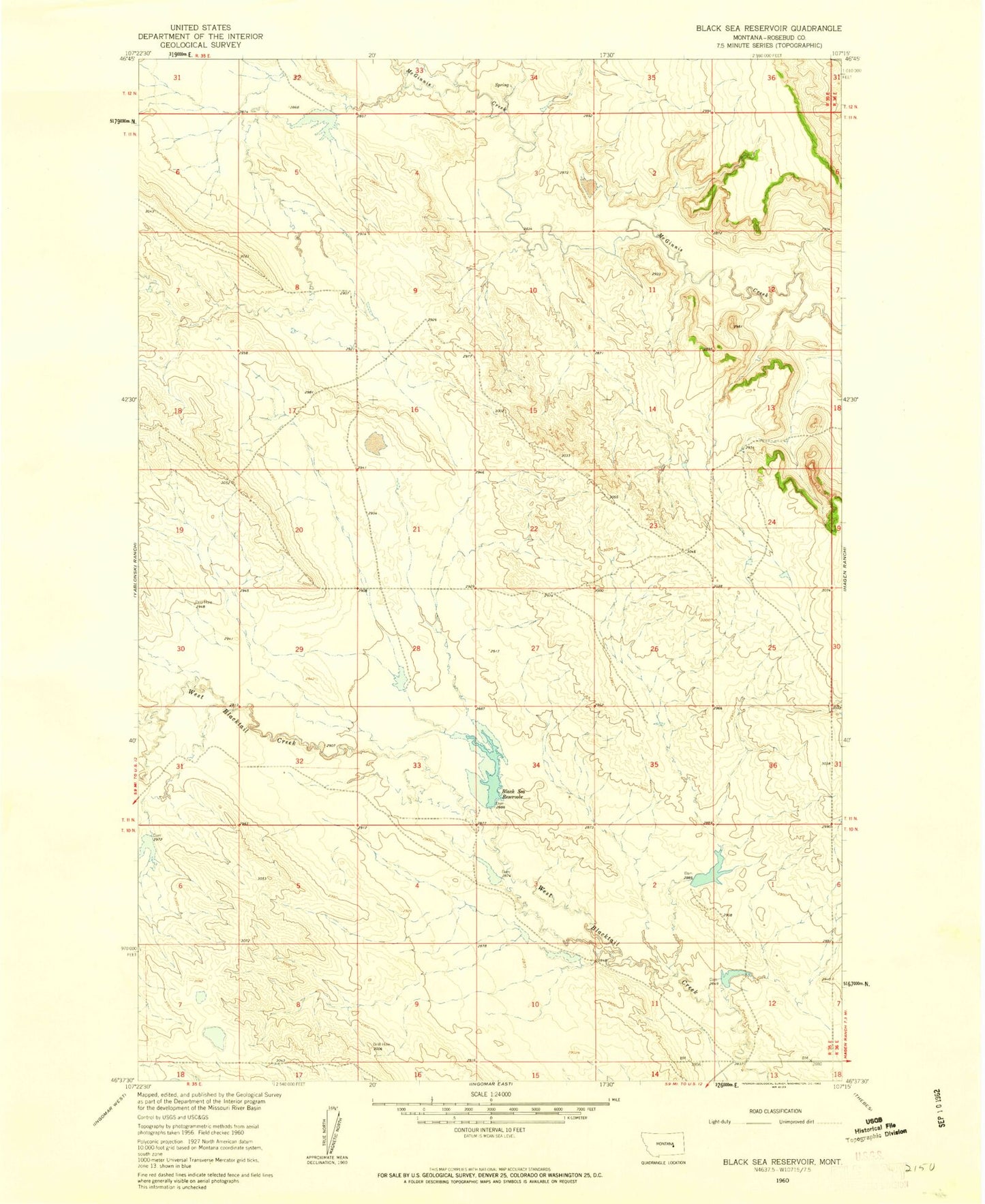
Classic USGS Black Sea Reservoir Montana 7.5'x7.5' Topo Map
Couldn't load pickup availability
Historical USGS topographic quad map of Black Sea Reservoir in the state of Montana. Map scale may vary for some years, but is generally around 1:24,000. Print size is approximately 24" x 27"
This quadrangle is in the following counties: Rosebud.
The map contains contour lines, roads, rivers, towns, and lakes. Printed on high-quality waterproof paper with UV fade-resistant inks, and shipped rolled.
Contains the following named places: Big Timber Number 10 Dam, Big Timber Number 13 Dam, Big Timber Number 14 Dam, Big Timber Number 15 Dam, Big Timber Number 16 Dam, Big Timber Number 17 Dam, Big Timber Number 8 Dam, Black Sea Reservoir, Black Sea Reservoir Dam, Fairview School, Galt Number 22 Dam, L Galt Number 20 Dam, ZIP Code: 59039