
MyTopo
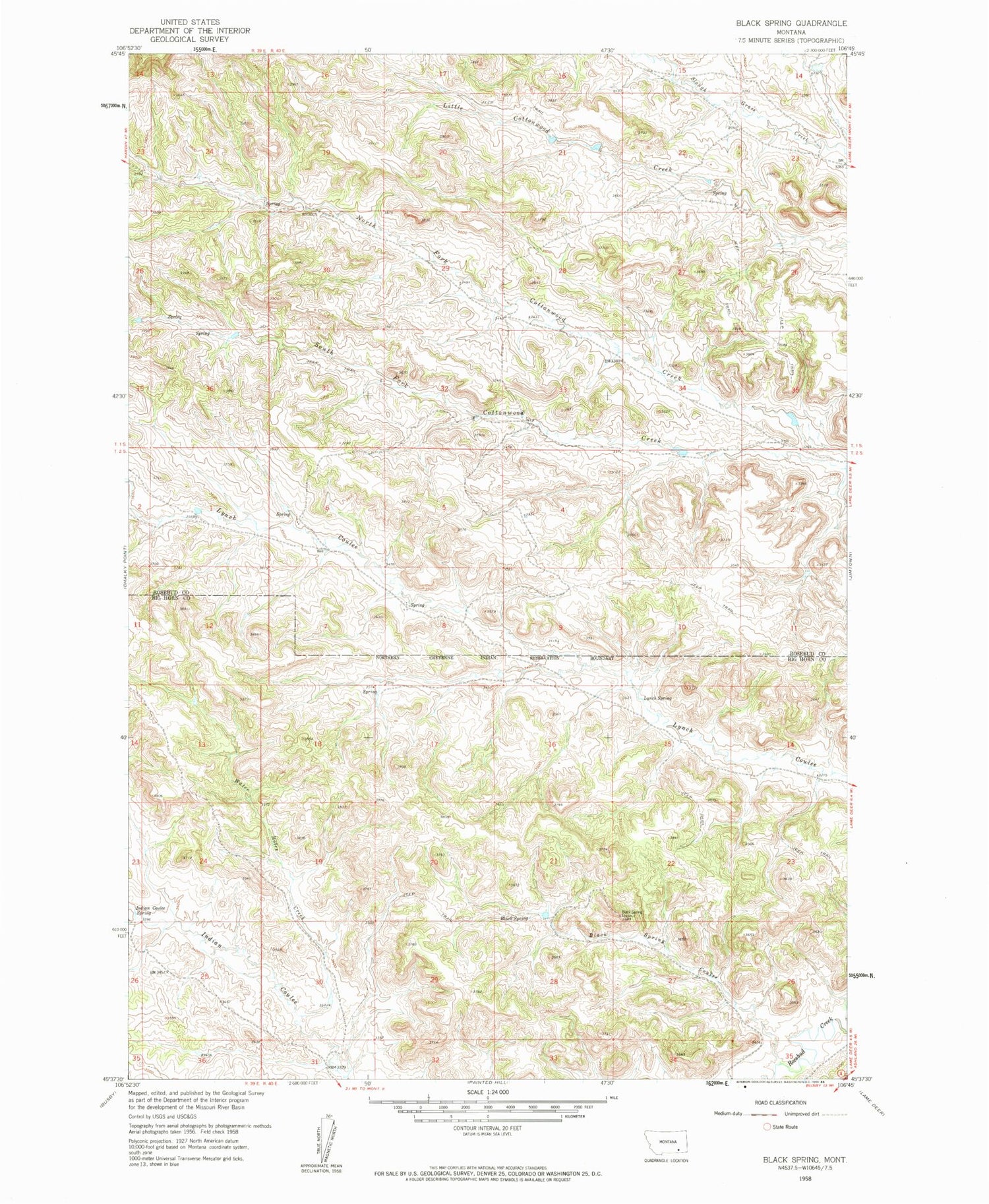
Classic USGS Black Spring Montana 7.5'x7.5' Topo Map
Couldn't load pickup availability
Historical USGS topographic quad map of Black Spring in the state of Montana. Map scale may vary for some years, but is generally around 1:24,000. Print size is approximately 24" x 27"
This quadrangle is in the following counties: Big Horn, Rosebud.
The map contains contour lines, roads, rivers, towns, and lakes. Printed on high-quality waterproof paper with UV fade-resistant inks, and shipped rolled.
Contains the following named places: 01S40E14DCBD01 Well, 01S40E28CCDA01 Well, 02S40E06CDA_01 Well, 02S40E06D___01 Well, 02S40E07DDD_01 Well, 02S40E08D___01 Well, 02S40E09CAD_01 Well, 02S40E14DCA_01 Well, 02S40E27BAD_01 Well, 02S41E02DABC01 Well, Black Spring, Black Spring Coulee, Black Spring Lookout, Indian Coulee Spring, Lynch Spring, South Fork Indian Coulee, Water Holes Creek


