MyTopo
Classic USGS Black Steer Canyon Utah 7.5'x7.5' Topo Map
Regular price
$16.95
Regular price
Sale price
$16.95
Unit price
per
Couldn't load pickup availability
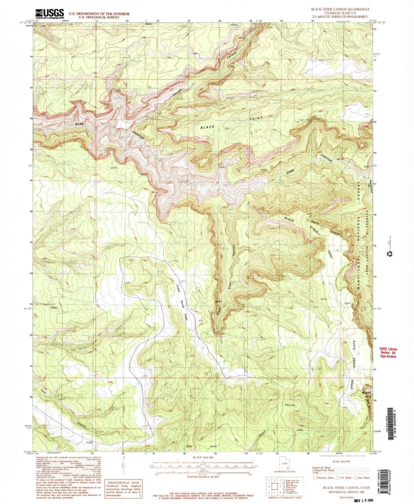
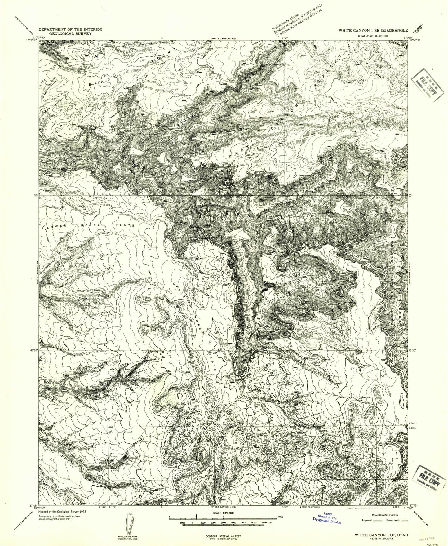
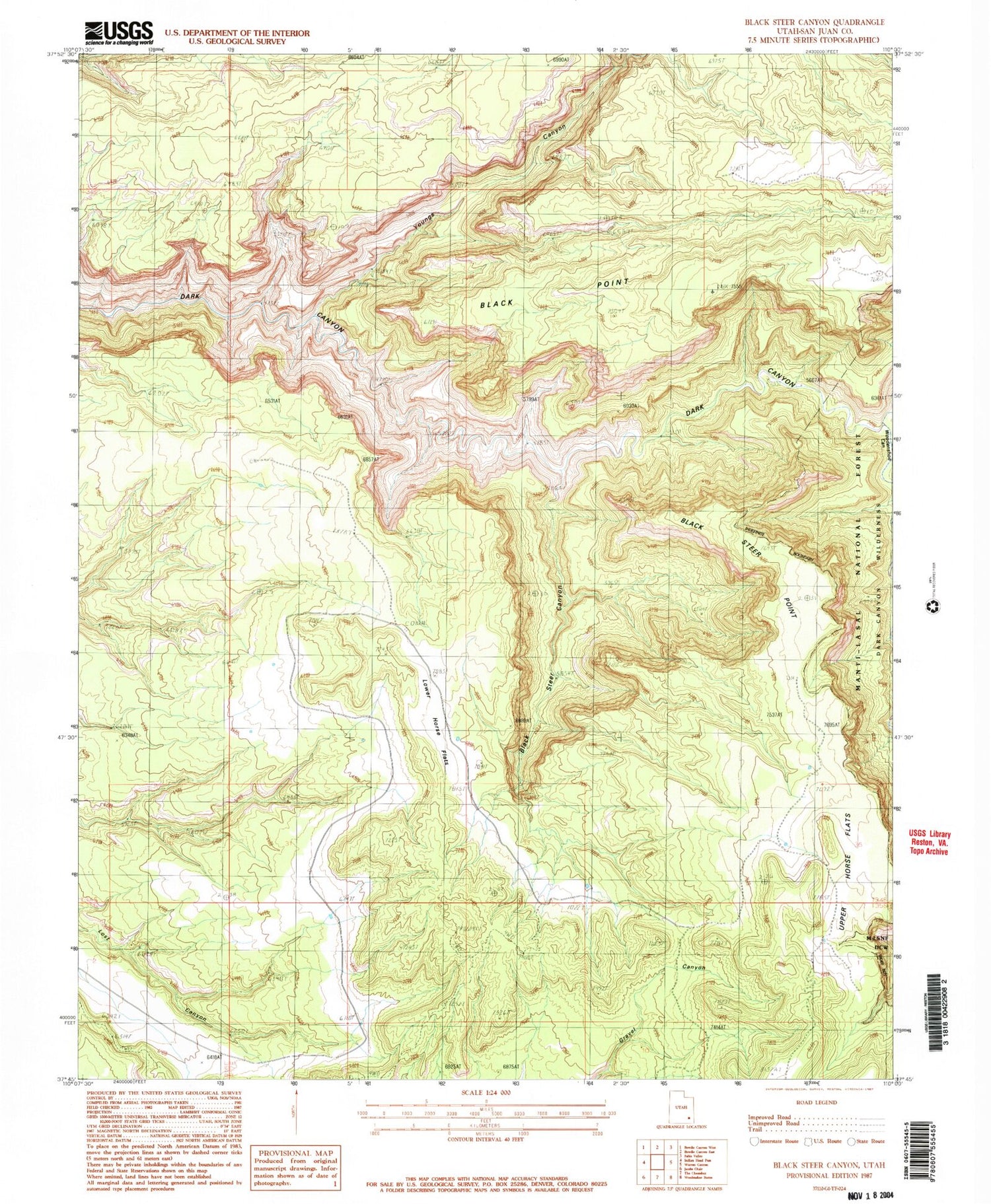
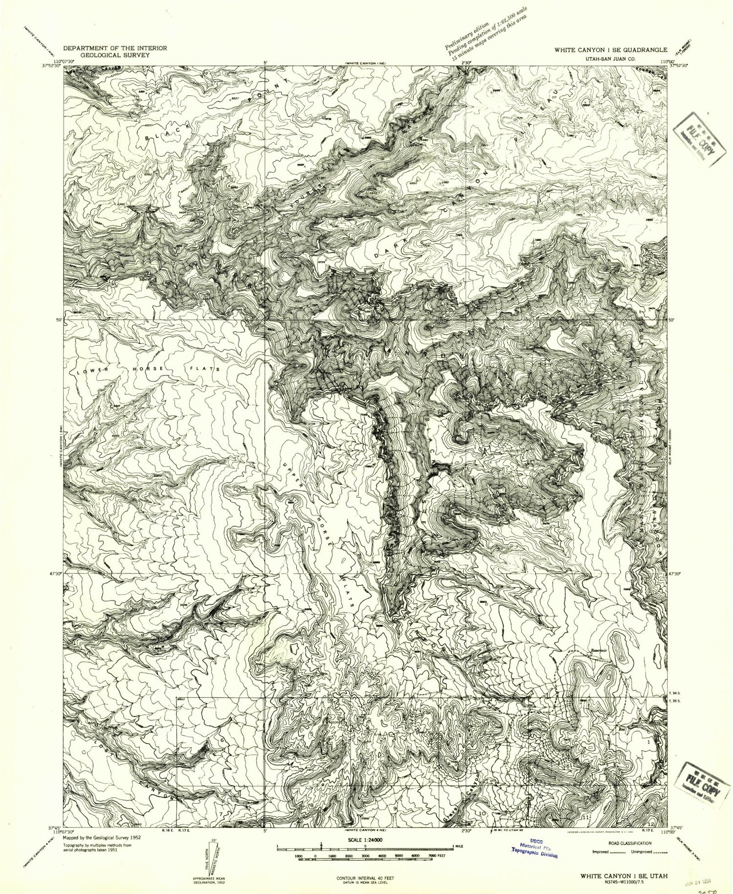
Historical USGS topographic quad map of Black Steer Canyon in the state of Utah. Typical map scale is 1:24,000, but may vary for certain years, if available. Print size: 24" x 27"
This quadrangle is in the following counties: San Juan.
The map contains contour lines, roads, rivers, towns, and lakes. Printed on high-quality waterproof paper with UV fade-resistant inks, and shipped rolled.
Contains the following named places: Black Point, Black Steer Canyon, Upper Horse Flats, Woodenshoe Canyon, Youngs Canyon, Black Steer Point, Black Steer Point, Black Point, Black Steer Canyon, Upper Horse Flats, Woodenshoe Canyon, Youngs Canyon, Black Steer Point, Black Steer Point