MyTopo
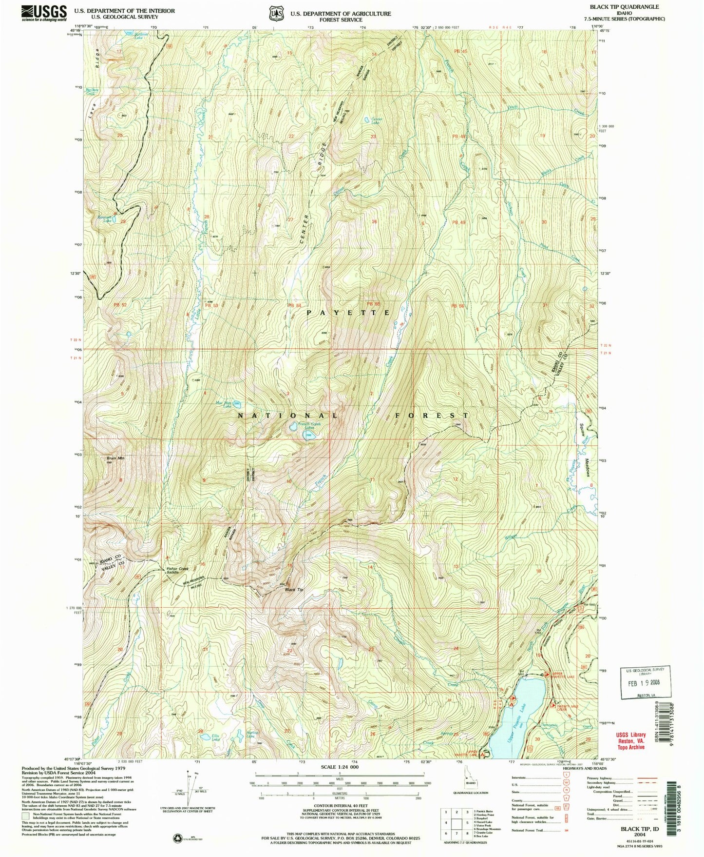
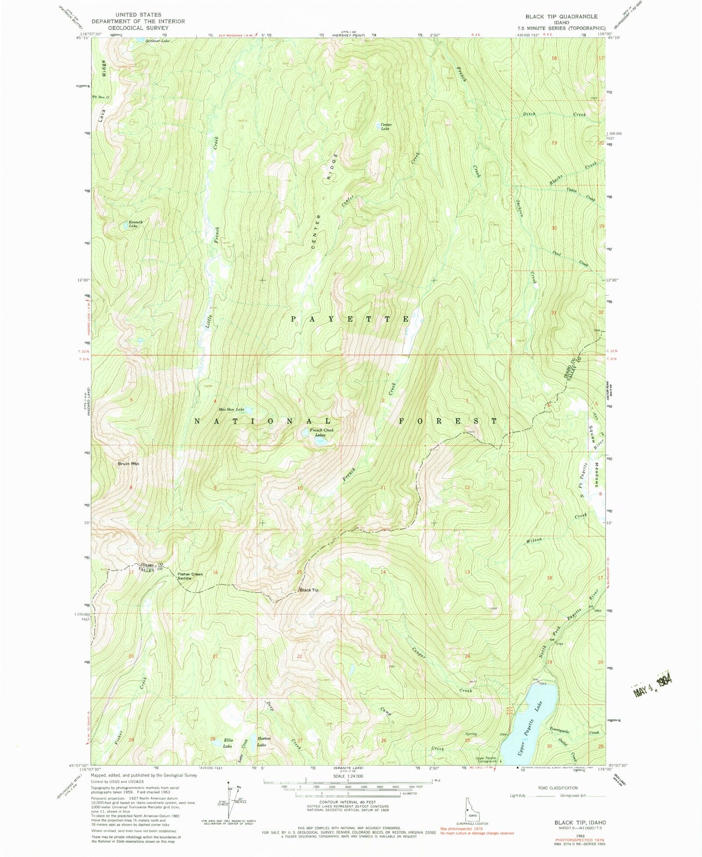
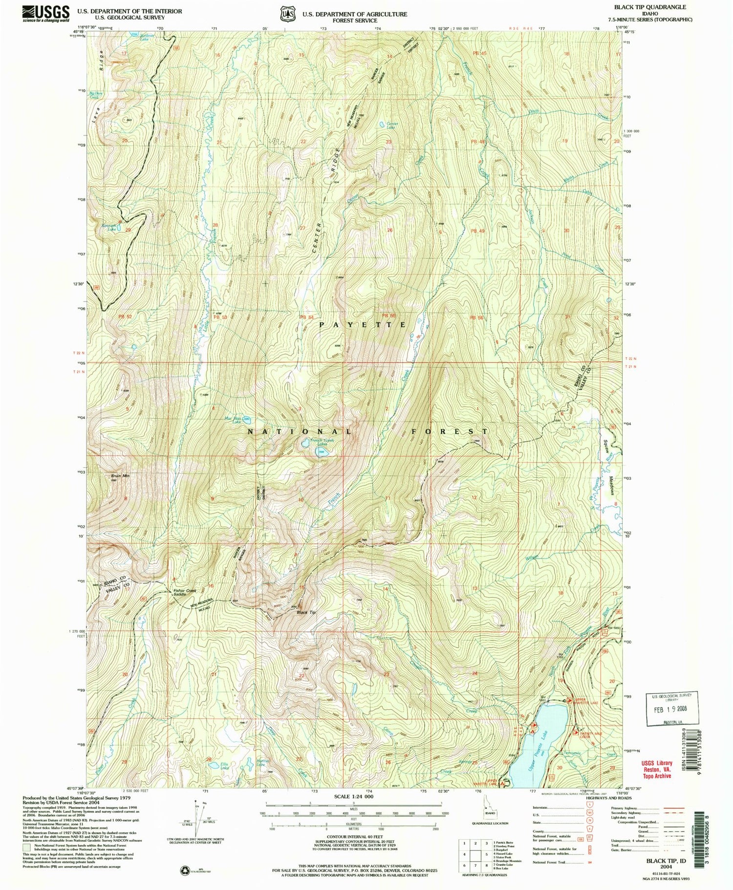
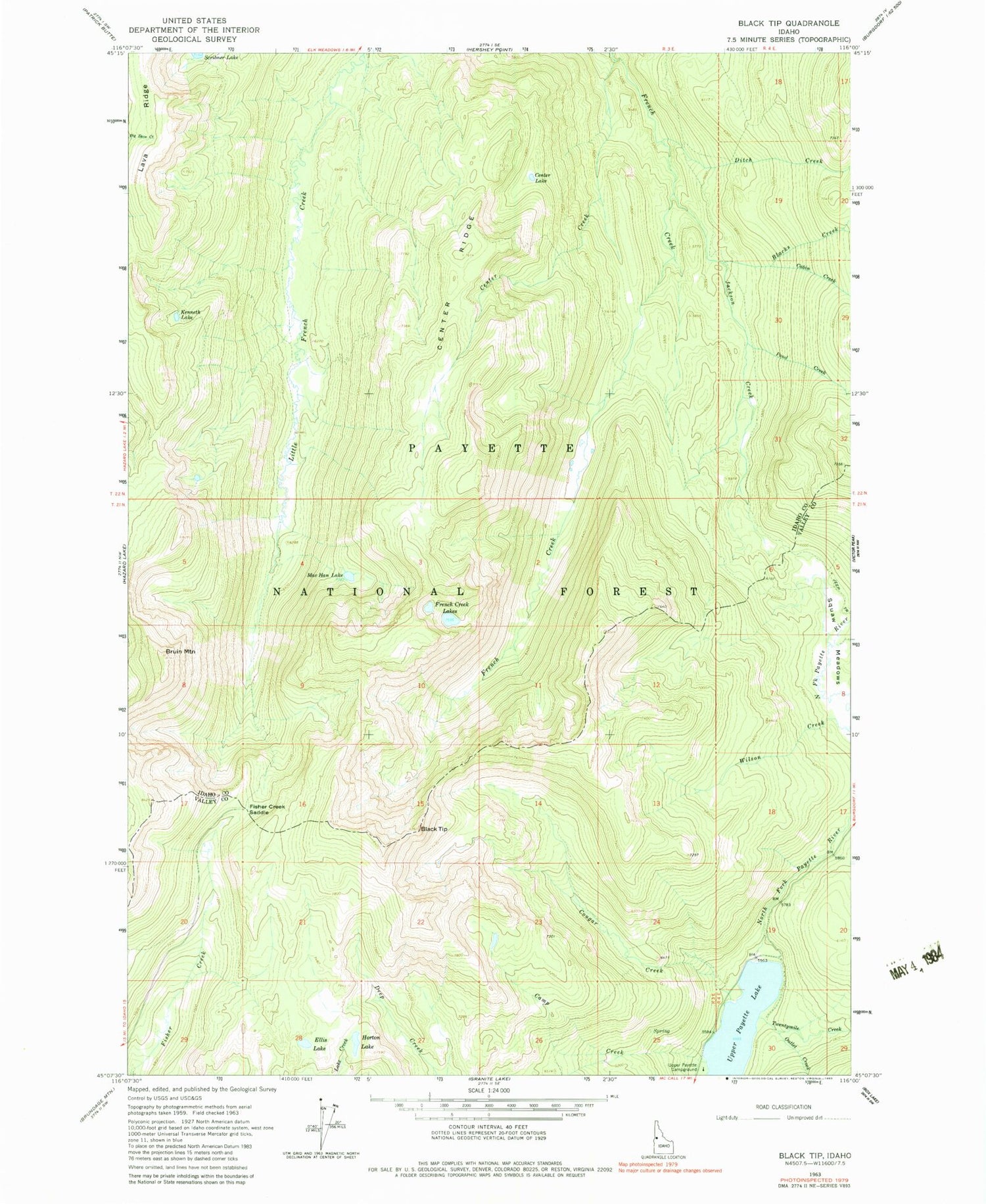
Classic USGS Black Tip Idaho 7.5'x7.5' Topo Map
Couldn't load pickup availability
Historical USGS topographic quad map of Black Tip in the state of Idaho. Typical map scale is 1:24,000, but may vary for certain years, if available. Print size: 24" x 27"
This quadrangle is in the following counties: Idaho, Valley.
The map contains contour lines, roads, rivers, towns, and lakes. Printed on high-quality waterproof paper with UV fade-resistant inks, and shipped rolled.
Contains the following named places: Black Tip, Blacks Creek, Bruin Mountain, Cabin Creek, Camp Creek, Center Creek, Center Lake, Center Ridge, Cougar Creek, Ditch Creek, Ellis Lake, Fisher Creek Saddle, French Creek Lakes, Horton Lake, Jackson Creek, Kenneth Lake, Mac Han Lake, Outlet Creek, Pond Creek, Twentymile Creek, Upper Payette Campground, Wilson Creek, Upper Payette Lake


