MyTopo
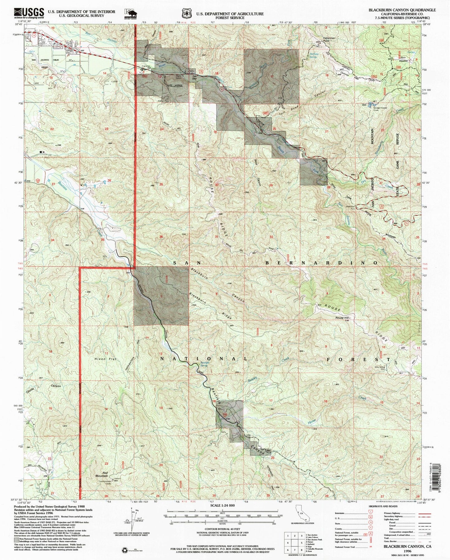
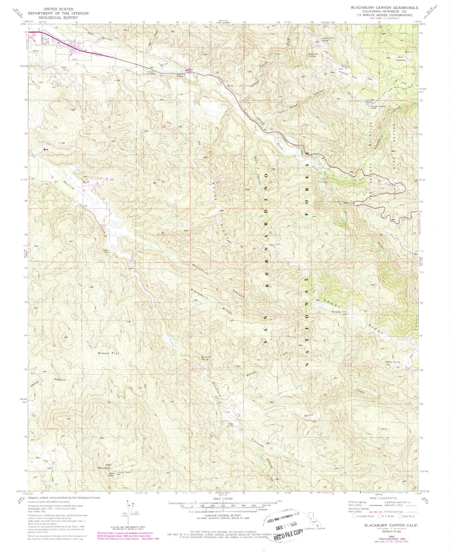
Classic USGS Blackburn Canyon California 7.5'x7.5' Topo Map
Couldn't load pickup availability
Historical USGS topographic quad map of Blackburn Canyon in the state of California. Map scale is 1:24000. Print size is approximately 24" x 27"
This quadrangle is in the following counties: Riverside.
The map contains contour lines, roads, rivers, towns, and lakes. Printed on high-quality waterproof paper with UV fade-resistant inks, and shipped rolled.
Contains the following named places: Alessandro Trail, Alvin Meadows, Baisley Creek, Bautista Canyon, Bautista Creek Wild and Scenic River, Bautista Guard Station, Bautista Spring, Bee Canyon, Blackburn Canyon, Blackburn Ridge, Chimney Flats, Cranston Forest Service Station, Dry Creek, Fisherman Point, Halfway Spring, Hixon Flat, Horse Creek, Lake Hemet Main Canal, Milky Spring, North Fork San Jacinto River, Oak Cliff, Red Mountain, Red Mountain Lookout, Rouse Hill, Rouse Hill-Bautista Canyon Trail, Sand Canyon, South Fork San Jacinto River, South Fork San Jacinto Wilderness, South Fork Trail, Strawberry Creek, Toll Road Canyon, White Post Turn, Willow Brook School