MyTopo
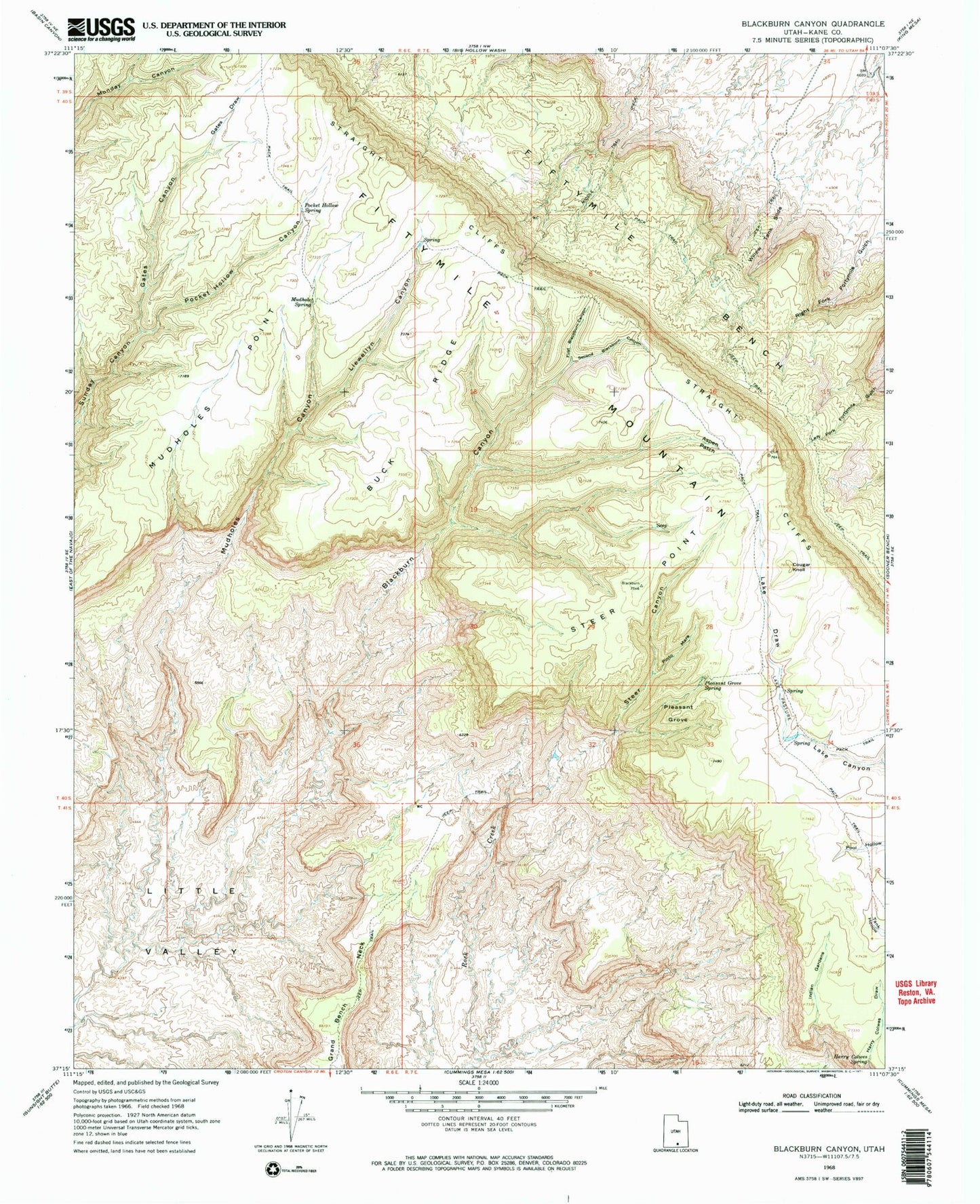
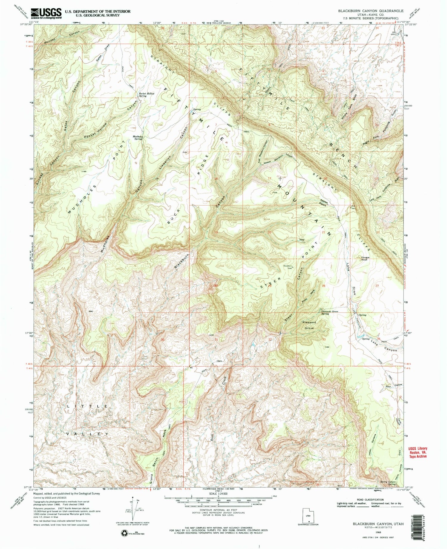
Classic USGS Blackburn Canyon Utah 7.5'x7.5' Topo Map
Couldn't load pickup availability
Historical USGS topographic quad map of Blackburn Canyon in the state of Utah. Map scale is 1:24000. Print size is approximately 24" x 27"
This quadrangle is in the following counties: Kane.
The map contains contour lines, roads, rivers, towns, and lakes. Printed on high-quality waterproof paper with UV fade-resistant inks, and shipped rolled.
Contains the following named places: Aspen Patch, Blackburn Canyon, Blackburn Creek, Buck Ridge, Cougar Knoll, Fiftymile Bench, Fiftymile Mountain, First Blackburn Canyon, Gates Canyon, Gates Draw, Gates Spring, Georgie Hollow, Grand Bench Neck, Harry Colwes Draw, Harry Colwes Spring, Indian Gardens, Lake Draw, Lake Pasture, Little Valley, Llewellyn Canyon, Middle Trail, Mudhole Creek, Mudhole Spring, Mudholes Canyon, Mudholes Point, Pinto Mare, Pleasant Grove, Pleasant Grove Spring, Pocket Hollow Canyon, Pocket Hollow Spring, Second Blackburn Canyon, Steer Canyon, Steer Point, Straight Cliffs, Willow Tank Slide, Window Wind Arch