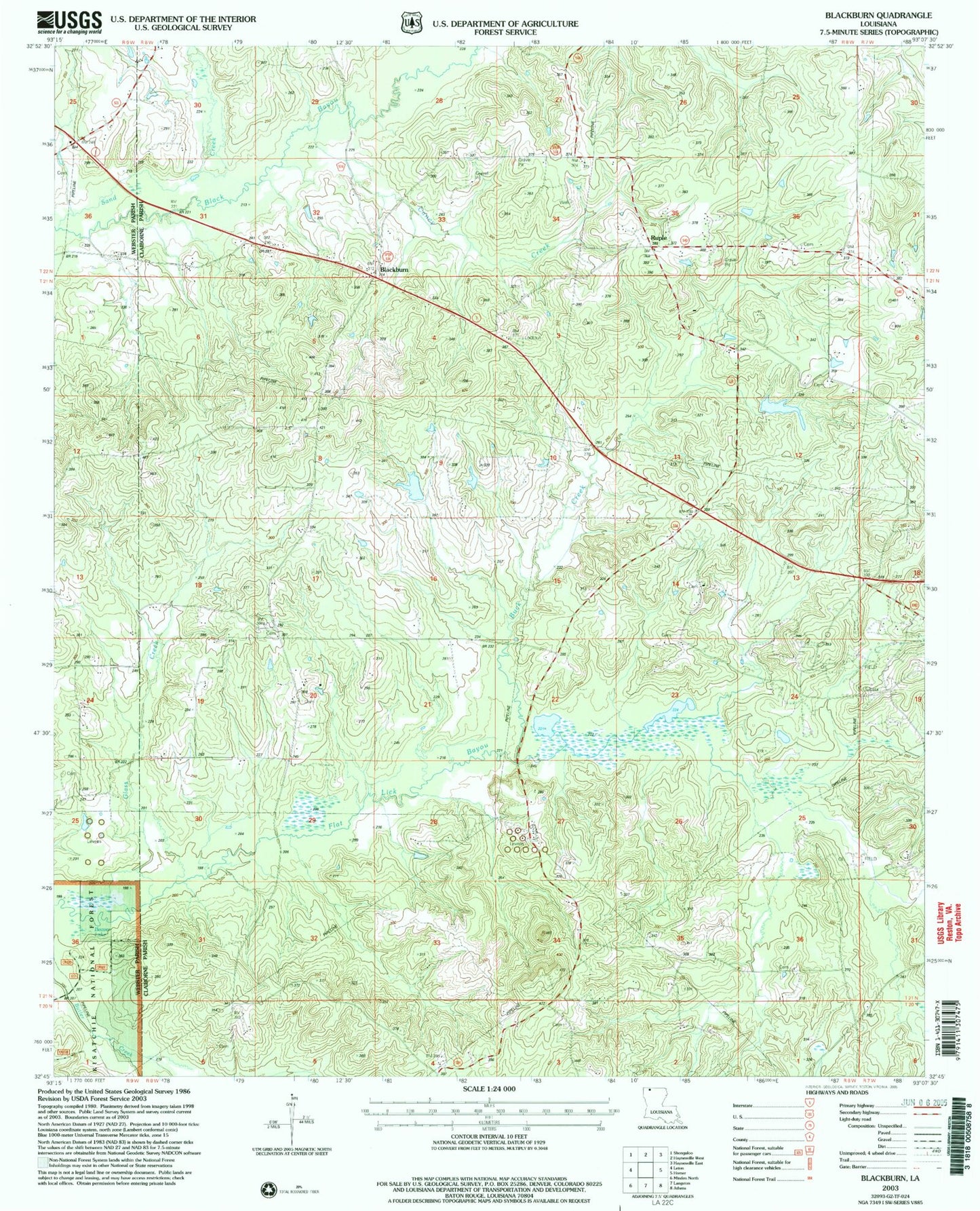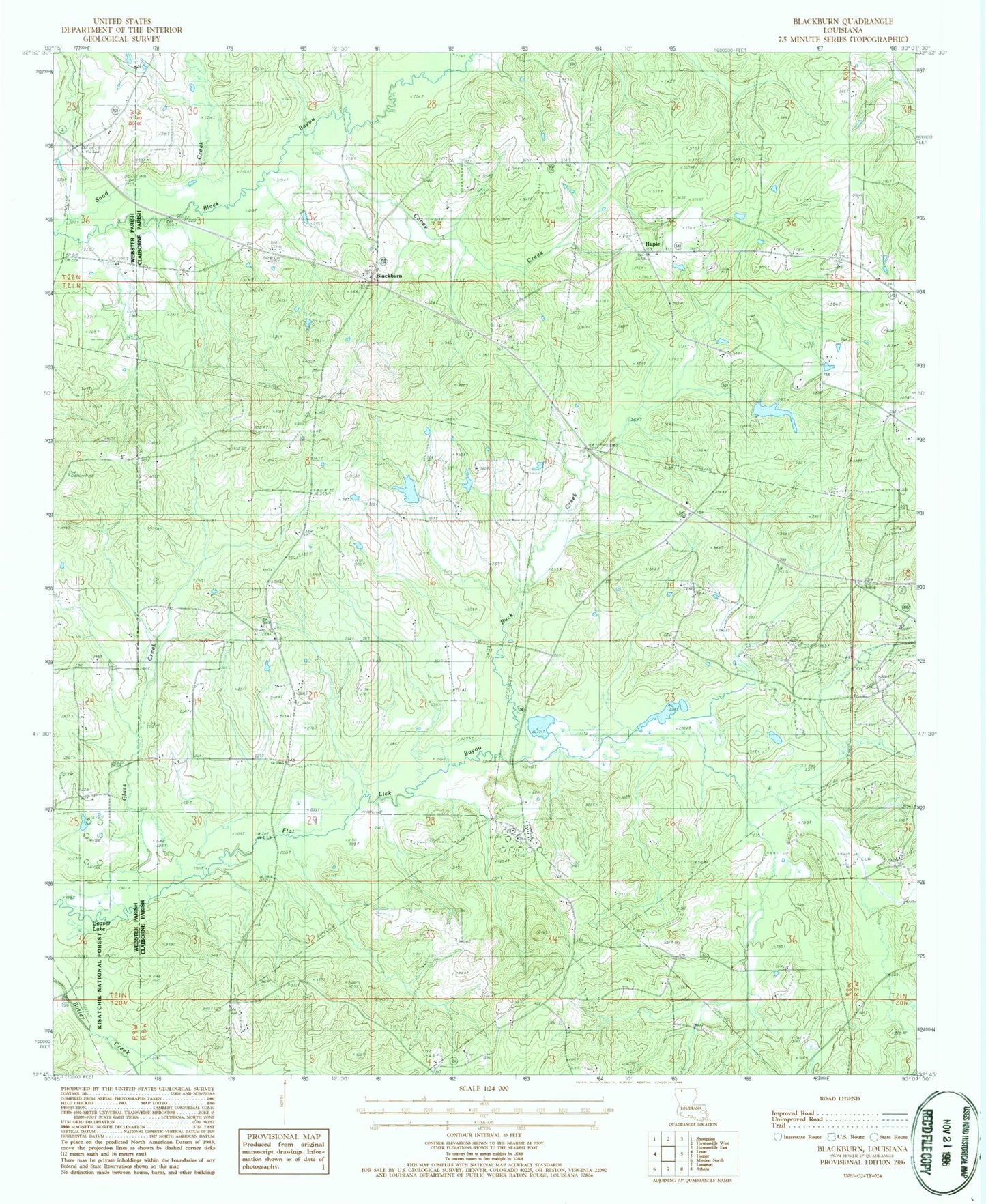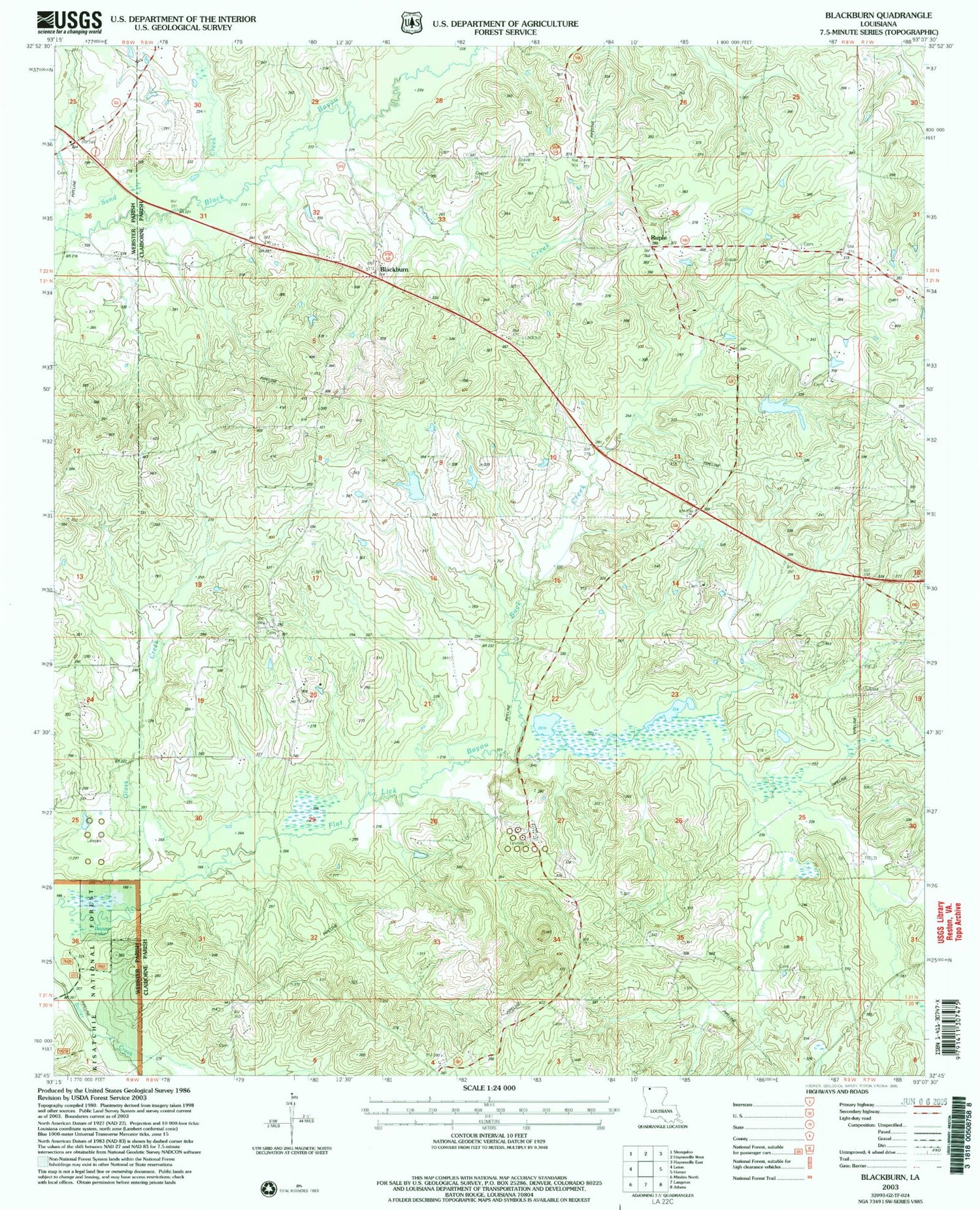
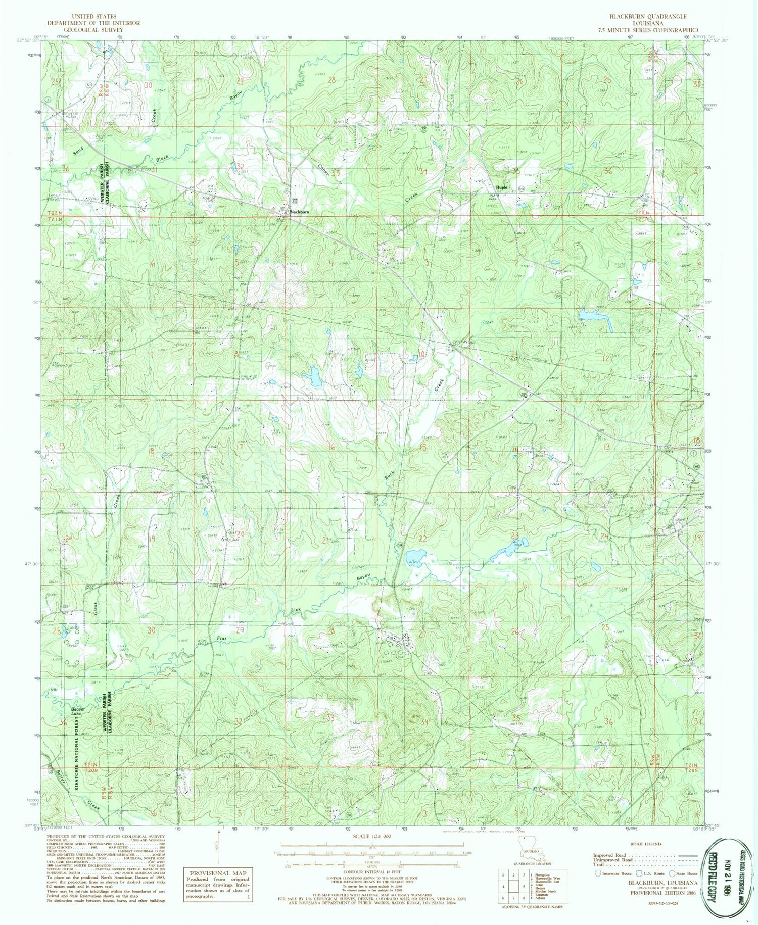
MyTopo
Classic USGS Blackburn Louisiana 7.5'x7.5' Topo Map
Couldn't load pickup availability
Historical USGS topographic quad map of Blackburn in the state of Louisiana. Map scale may vary for some years, but is generally around 1:24,000. Print size is approximately 24" x 27"
This quadrangle is in the following counties: Claiborne, Webster.
The map contains contour lines, roads, rivers, towns, and lakes. Printed on high-quality waterproof paper with UV fade-resistant inks, and shipped rolled.
Contains the following named places: Beaver Lake, Bethany Church, Bethlehem Cemetery, Bethlehem Church, Blackburn, Blackburn Lookout Tower, Blackburn School, Buck Creek, Caney Creek, Cold Springs Cemetery, East Blackburn Gas Field, Glass Creek, Gryder Cemetery, Harper Cemetery, Hollenshead Dam, Homer Oil Field, King Cemetery, Mount Lebanon Church, Mount Pisgah School, Oil Field Church, Oil Field School, Parish Governing Authority District 3, Rocky Mountain School, Ruple, Ruple Church, Saints Rest School, Sand Creek, Shady Grove Church, Shiloh Cemetery, Shiloh Church, Webb Cemetery, Wheaton Cemetery