
MyTopo
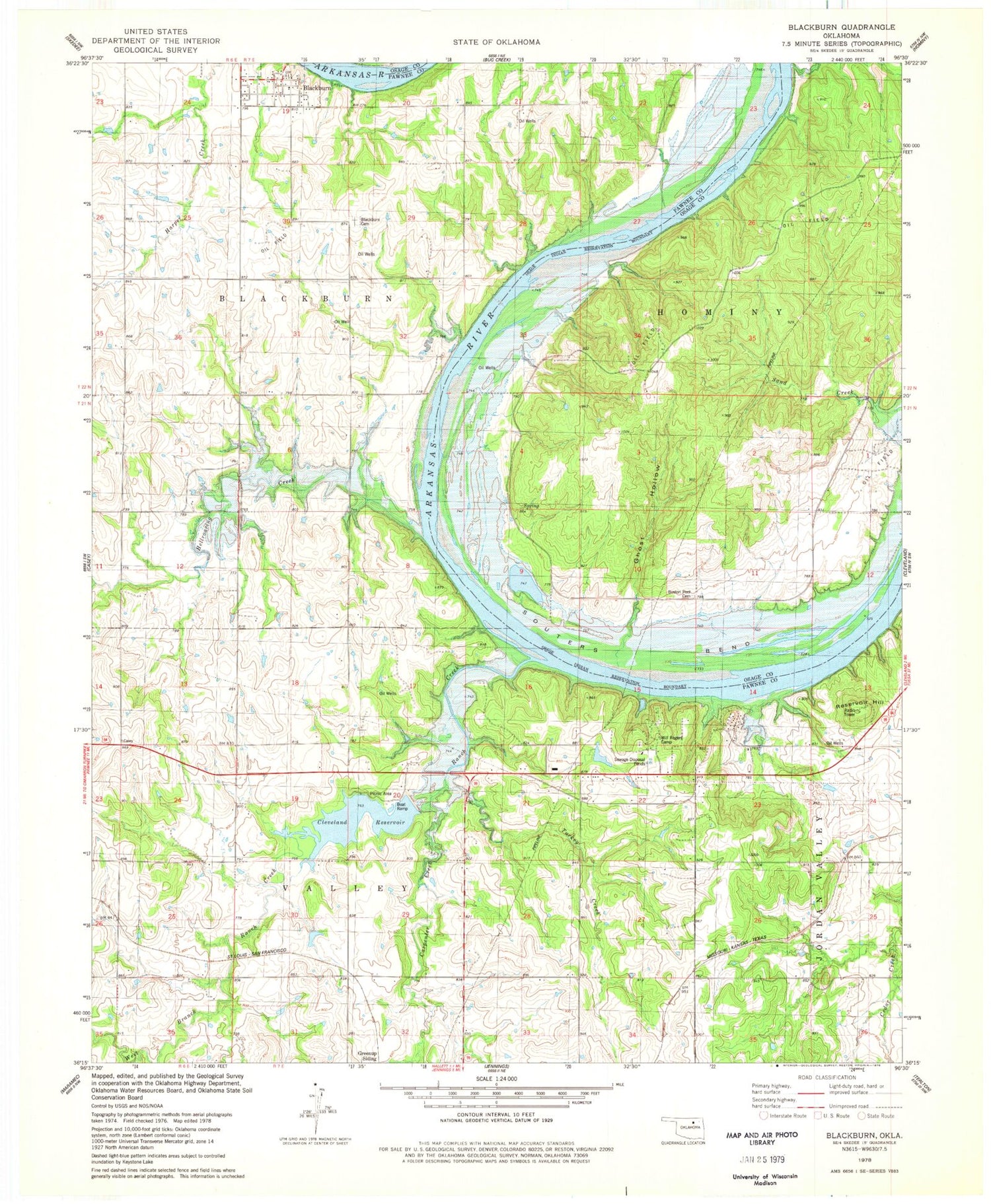
Classic USGS Blackburn Oklahoma 7.5'x7.5' Topo Map
Couldn't load pickup availability
Historical USGS topographic quad map of Blackburn in the state of Oklahoma. Map scale may vary for some years, but is generally around 1:24,000. Print size is approximately 24" x 27"
This quadrangle is in the following counties: Osage, Pawnee.
The map contains contour lines, roads, rivers, towns, and lakes. Printed on high-quality waterproof paper with UV fade-resistant inks, and shipped rolled.
Contains the following named places: Blackburn, Blackburn Cemetery, Blackburn Rural Fire Department, Boston Pool Cemetery, Carpenter Creek, Cleveland Area Hospital Heliport, Cleveland Lake, Cleveland Lake Dam, Cleveland Reservoir, Eck Twin Lakes North Dam, Eck Twin Lakes North Reservoir, Ghost Hollow, Greenup Siding, Hellroaring Creek, Oknoname 113102 Dam, Oknoname 113102 Reservoir, Ranch Creek, Reservoir Hill, Souters Bend, Town of Blackburn, Township of Blackburn, Township of Valley, Turkey Creek, West Branch Ranch Creek, Will Rogers Camp


