MyTopo
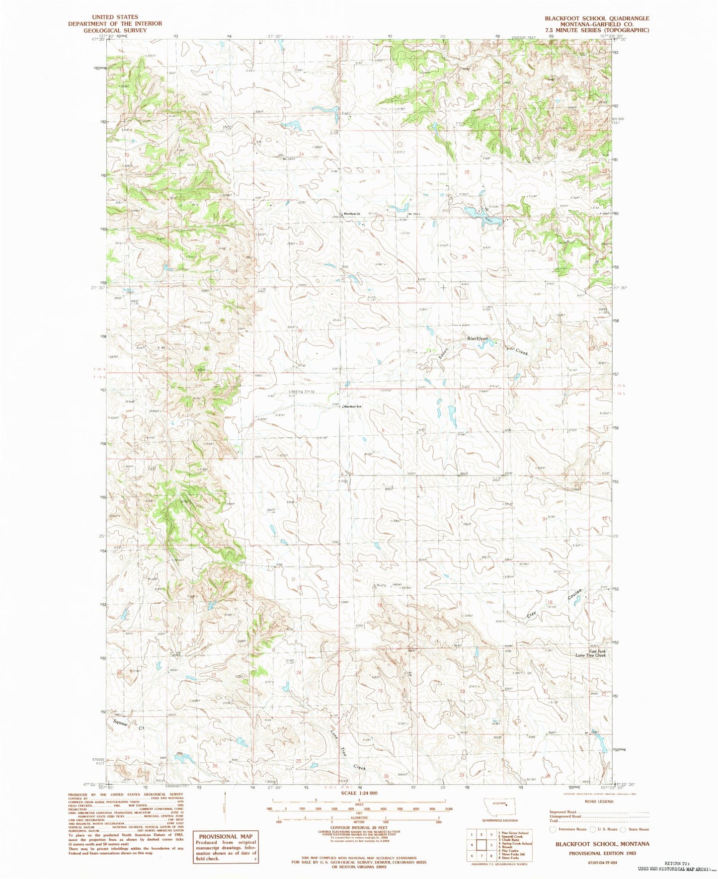
Classic USGS Blackfoot School Montana 7.5'x7.5' Topo Map
Couldn't load pickup availability
Historical USGS topographic quad map of Blackfoot School in the state of Montana. Map scale may vary for some years, but is generally around 1:24,000. Print size is approximately 24" x 27"
This quadrangle is in the following counties: Garfield.
The map contains contour lines, roads, rivers, towns, and lakes. Printed on high-quality waterproof paper with UV fade-resistant inks, and shipped rolled.
Contains the following named places: 19N34E18ACC_01 Well, 20N33E26BA__01 Well, 20N34E18CC__01 Well, 20N34E32AD__01 Well, 20N34E34ADCC01 Well, Aberta Dam, Antrim Post Office, Blackfoot, Blackfoot Church, Blackfoot School, Clark Dam, D Loomis Number 3 Dam, Freemen Ranch, Loomis D Number 1 Dam, Ralph Clark Number 1 Dam