MyTopo
Classic USGS Blackfoot Idaho 7.5'x7.5' Topo Map
Couldn't load pickup availability
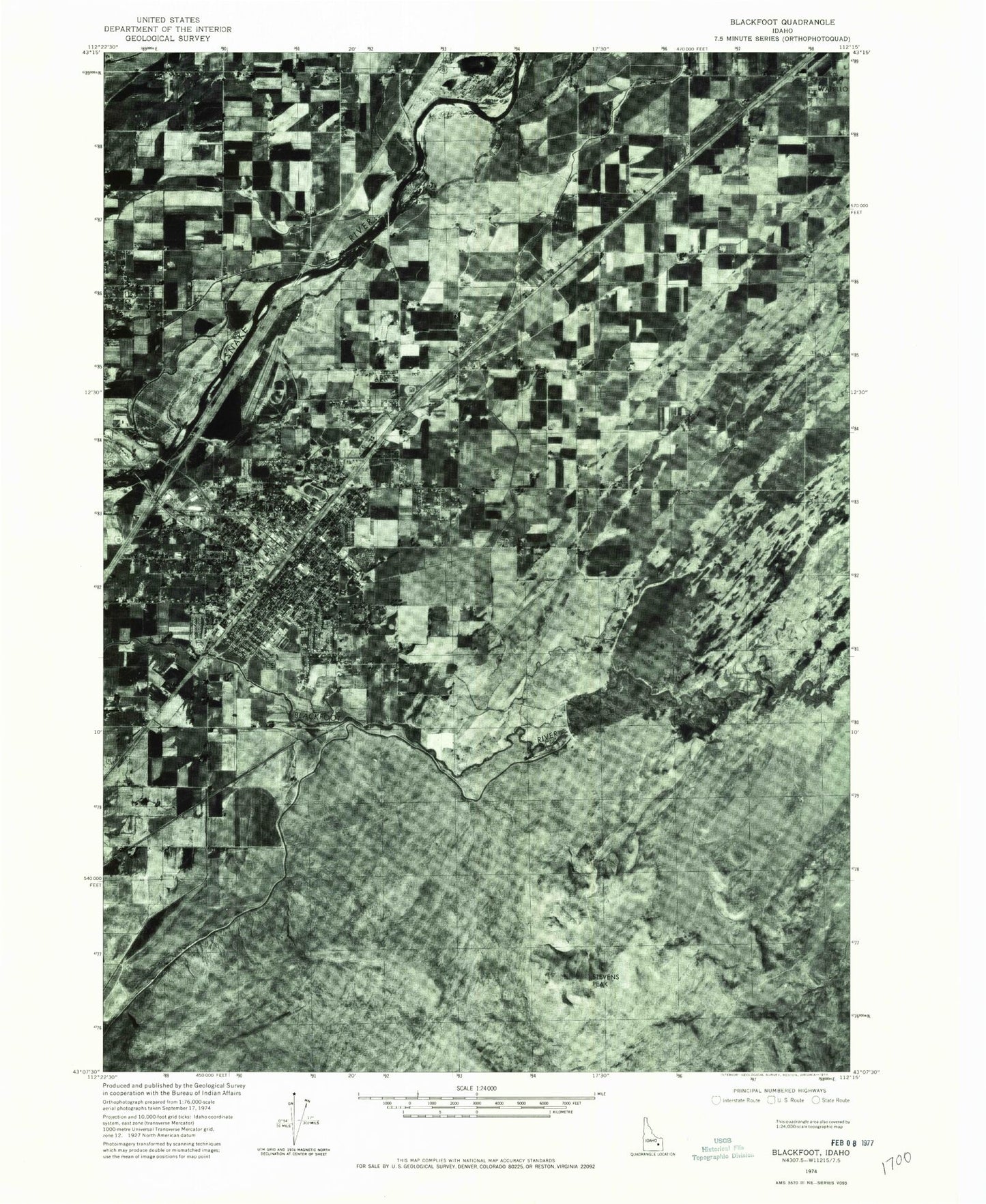
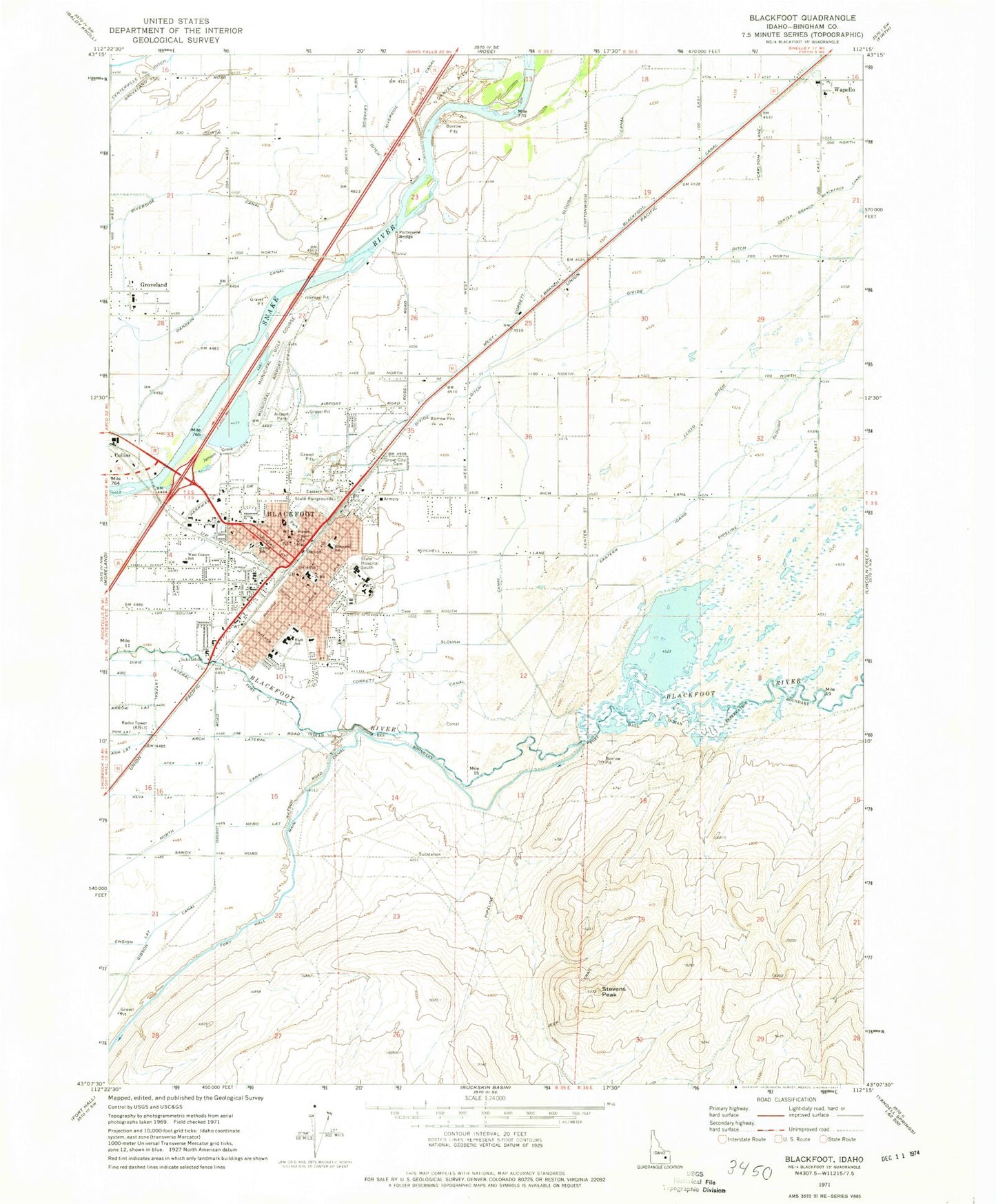
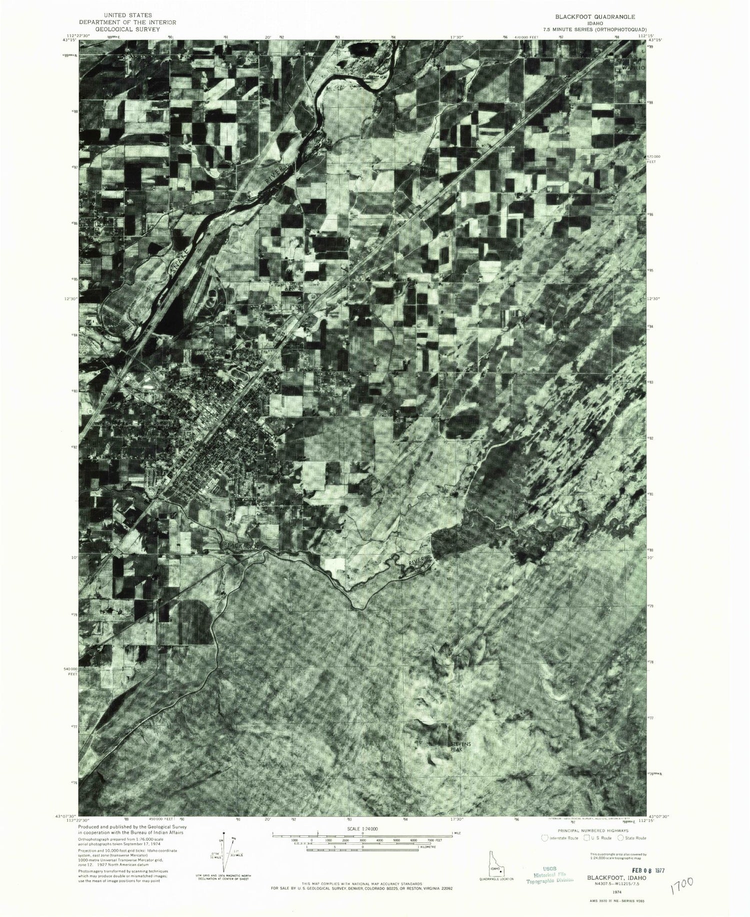
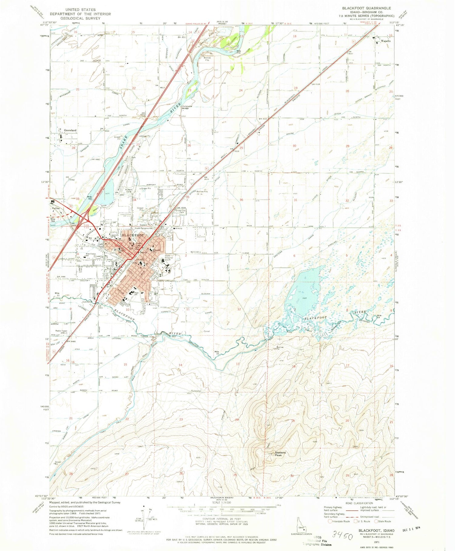
Historical USGS topographic quad map of Blackfoot in the state of Idaho. Map scale may vary for some years, but is generally around 1:24,000. Print size is approximately 24" x 27"
This quadrangle is in the following counties: Bingham.
The map contains contour lines, roads, rivers, towns, and lakes. Printed on high-quality waterproof paper with UV fade-resistant inks, and shipped rolled.
Contains the following named places: Airport Park, Apex Lateral, Arc Lateral, Arrow Lateral, Ash Lateral, Bingham County Sheriff's Office, Bingham Memorial Hospital, Blackfoot, Blackfoot Division, Blackfoot Fire Department Station 1, Blackfoot High School, Blackfoot Police Department, Blackfoot Post Office, Blackfoot Slough, Blackfoot-Equalizing Dam, Centerville Ditch, City of Blackfoot, Corbett Slough Canal, Dawn Enterprise Incorporated, Divide Ditch, Dixie Lateral, Eastern State Fairgrounds, Elmwood School, Ensign Lateral, Equalizing Reservoir, Grove City Cemetery, Groveland, Groveland Elementary School, I T Stoddard Elementary School, Idaho Doctors Hospital, Irving Kindergarten Center, Jensen Grove Park, Jensens Lake, KBLI-AM (Blackfoot), Little Butte Canal, Lloyd Ditch, McCarley Field, Mountain View Middle School, Nebo Lateral, Neva Lateral, Porterville Bridge, Second Chance Project Alternative High School, Shilling Elementary School, Stalker Elementary School, State Hospital South, Stevens Peak, Trego Ditch, Wapello, Wapello Elementary School, West Branch Blackfoot Canal, West Side Ditch, Younnie Ditch


