MyTopo
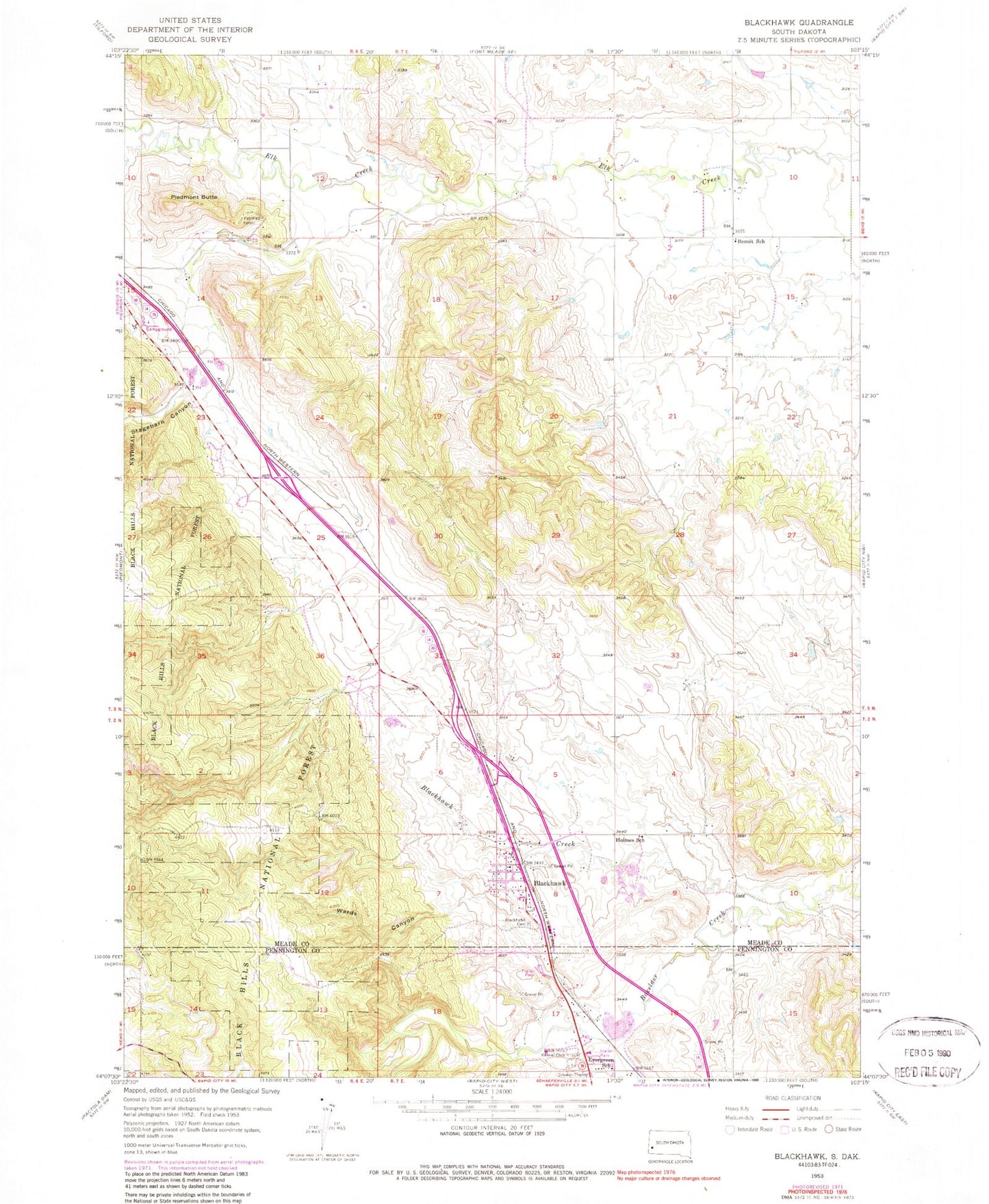
Classic USGS Blackhawk South Dakota 7.5'x7.5' Topo Map
Couldn't load pickup availability
Historical USGS topographic quad map of Blackhawk in the state of South Dakota. Map scale may vary for some years, but is generally around 1:24,000. Print size is approximately 24" x 27"
This quadrangle is in the following counties: Meade, Pennington.
The map contains contour lines, roads, rivers, towns, and lakes. Printed on high-quality waterproof paper with UV fade-resistant inks, and shipped rolled.
Contains the following named places: Benoit School, Black Hawk Elementary School, Black Hawk Fire Department, Black Hawk Post Office, Black Hills Kennel Club, Blackhawk, Blackhawk Cemetery, Blackhawk Census Designated Place, Blackhawk Creek, City of Piedmont, City of Summerset, Evergreen School, Holmes School, Piedmont Butte, Piedmont Volunteer Fire Department Substation, Sidney Stockdale, Stagebarn Canyon, Summerset, Summerset City Hall, Summerset Police Department, Wards Canyon, Wonderland Homes, Wonderland Homes Census Designated Place, ZIP Codes: 57718, 57769