MyTopo
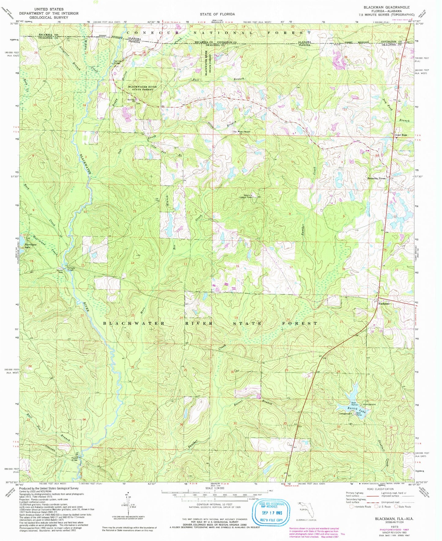
Classic USGS Blackman Florida 7.5'x7.5' Topo Map
Couldn't load pickup availability
Historical USGS topographic quad map of Blackman in the state of Florida. Typical map scale is 1:24,000, but may vary for certain years, if available. Print size: 24" x 27"
This quadrangle is in the following counties: Covington, Escambia, Okaloosa.
The map contains contour lines, roads, rivers, towns, and lakes. Printed on high-quality waterproof paper with UV fade-resistant inks, and shipped rolled.
Contains the following named places: Alligator Branch, Boggy Hollow Creek, Middle Creek, Rock Creek, Barrel Branch, Bee Branch, Blackman, Bull Branch, Bull Pen Branch, Cow Pen Branch, Escambia Farms, Good Hope, Hurricane Creek, Karick Lake, Kennedy Branch, Kennedy Bridge, Mare Creek, Oak Creek, Olive Branch, Olive Branch Church, Peaden Bridge, Red Oak Bridge, Red Oak Church, Sand Hill Lookout Tower, E C Younghood Pond, O G Steele Pond, Blackman Volunteer Fire Department