MyTopo
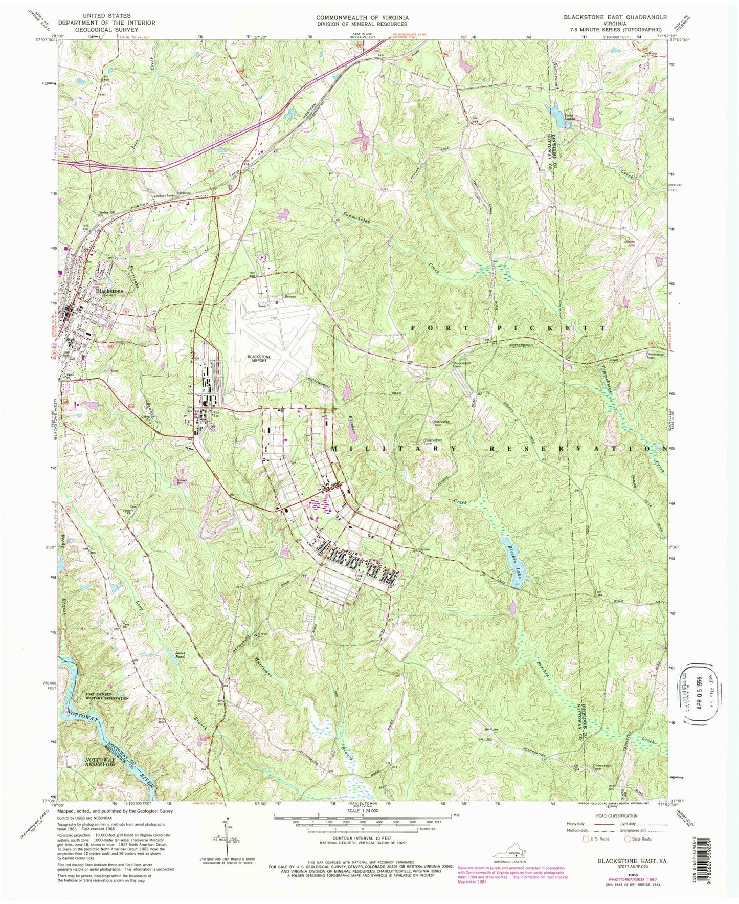
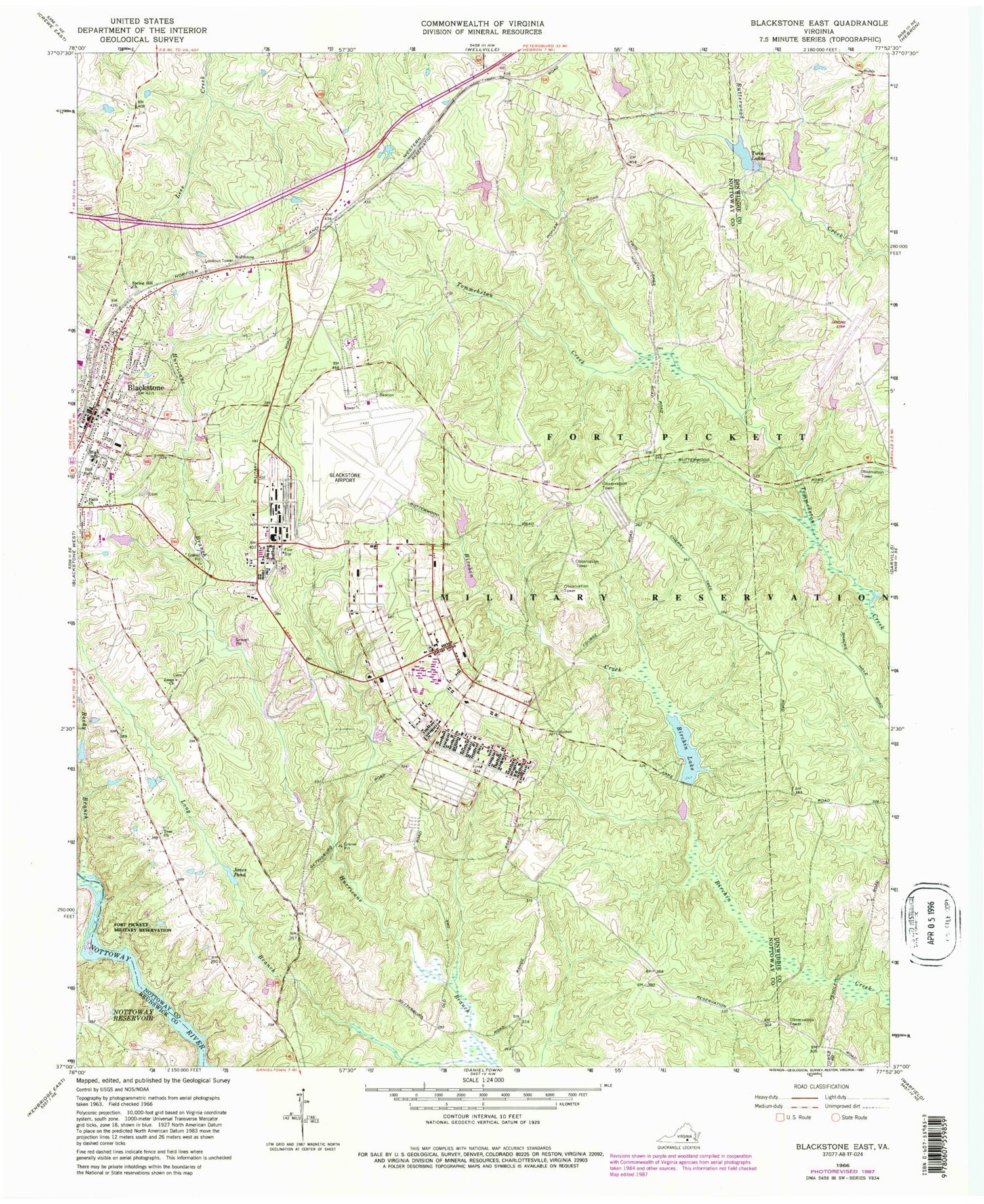
Classic USGS Blackstone East Virginia 7.5'x7.5' Topo Map
Couldn't load pickup availability
Historical USGS topographic quad map of Blackstone East in the state of Virginia. Typical map scale is 1:24,000, but may vary for certain years, if available. Print size: 24" x 27"
This quadrangle is in the following counties: Brunswick, Dinwiddie, Nottoway.
The map contains contour lines, roads, rivers, towns, and lakes. Printed on high-quality waterproof paper with UV fade-resistant inks, and shipped rolled.
Contains the following named places: Blackstone, Faith Church, Jones Church, Jones Pond, Long Branch, Reedy Branch, Richardson School, Spring Hill Church, Tree Church, Twin Lakes, Allen C Perkinson Blackstone Army Airfield, Tommeheton Creek Dam, Butterwood Lake Upper Dam, Butterwood Lake, Butterwood Lower Dam, Birchin Dam, Tactical Bridge Dam, Pryor Road Reservoir, Blackstone Army Air Base (historical), Blackstone Baptist Church, Blackstone City Hall, Blackstone Elementary School, Blackstone Health Center, Blackstone High School, Blackstone Post Office, Blackstone Primary School, Dominy Corner, Louis Spencer Epes Memorial Library, Nottoway County Training School (historical), Birchin Lake, Forkland (historical), Westboro (historical), District 5, Blackstone Police Department, Kenston Forest School, Southside Community College - Pickett Park, Fort Pickett, Fort Pickett Fire Department