MyTopo
Classic USGS Blacktail Creek SW Montana 7.5'x7.5' Topo Map
Regular price
$16.95
Regular price
Sale price
$16.95
Unit price
per
Couldn't load pickup availability
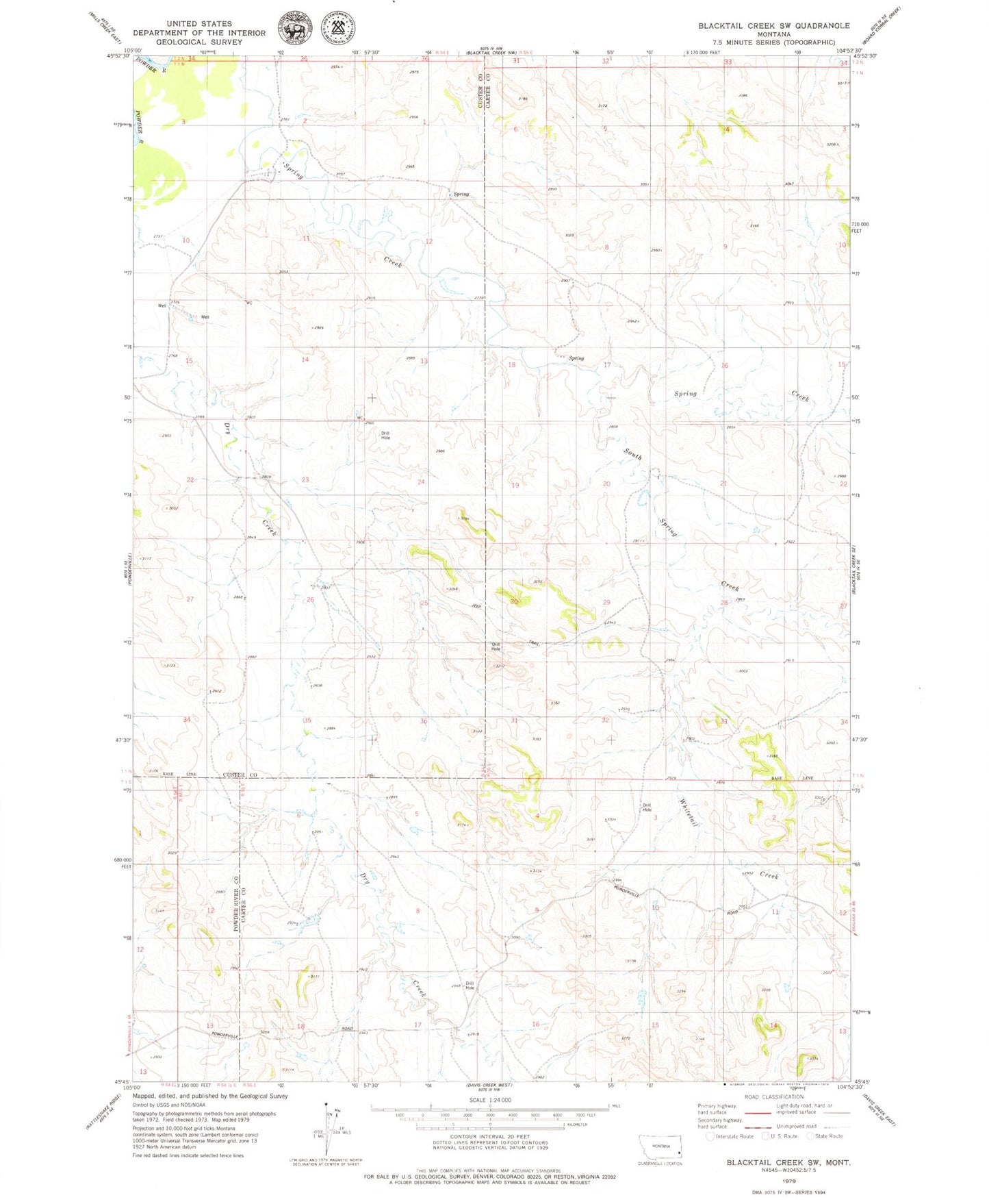
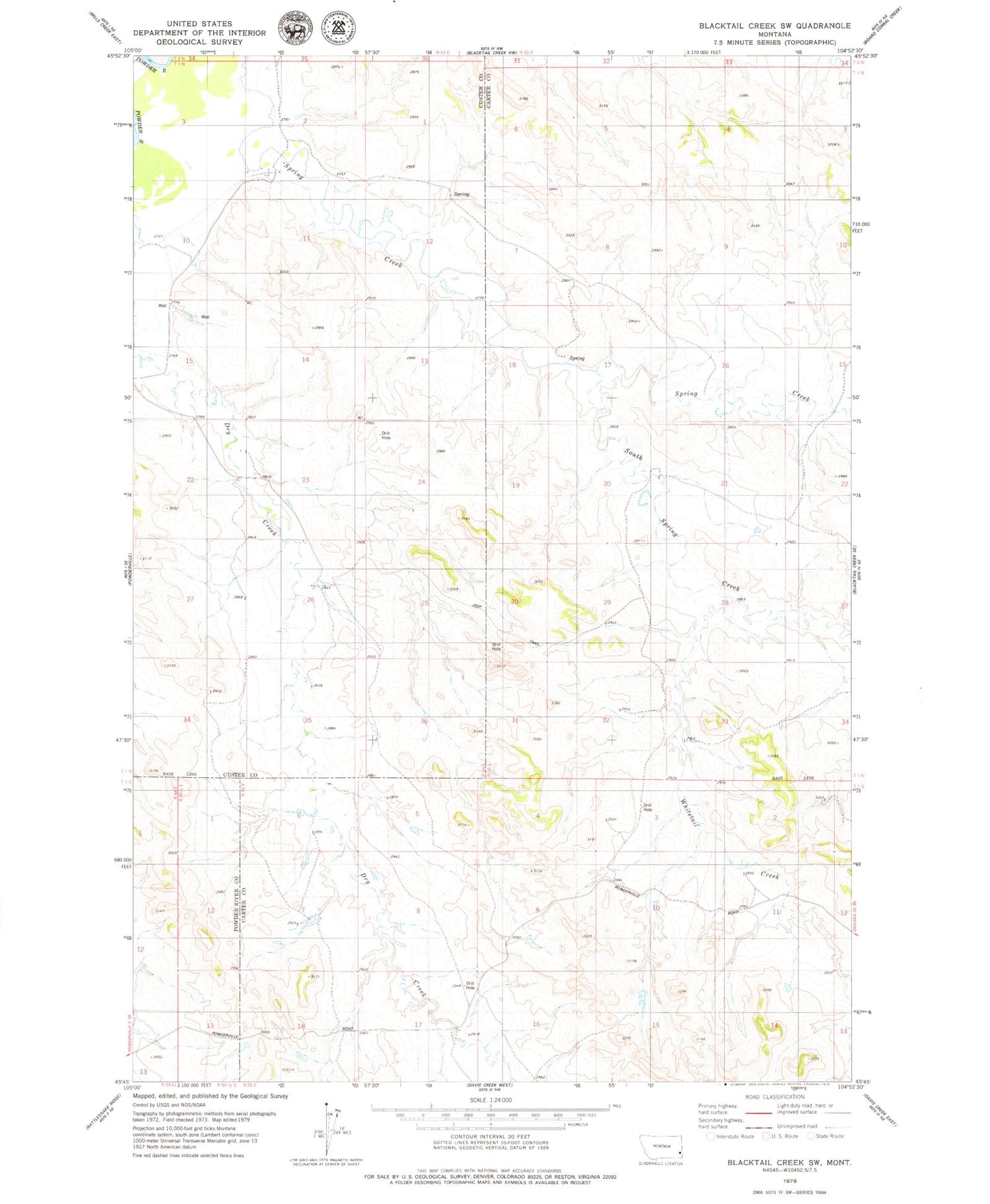
Historical USGS topographic quad map of Blacktail Creek SW in the state of Montana. Map scale may vary for some years, but is generally around 1:24,000. Print size is approximately 24" x 27"
This quadrangle is in the following counties: Carter, Custer, Powder River.
The map contains contour lines, roads, rivers, towns, and lakes. Printed on high-quality waterproof paper with UV fade-resistant inks, and shipped rolled.
Contains the following named places: 01N54E02CDCB01 Well, 01S54E12DBAD01 Well, 01S55E02DAAB01 Well, 01S55E11BBC_01 Well, 02N55E34DCC_01 Well, South Spring Creek, Whitetail Creek