MyTopo
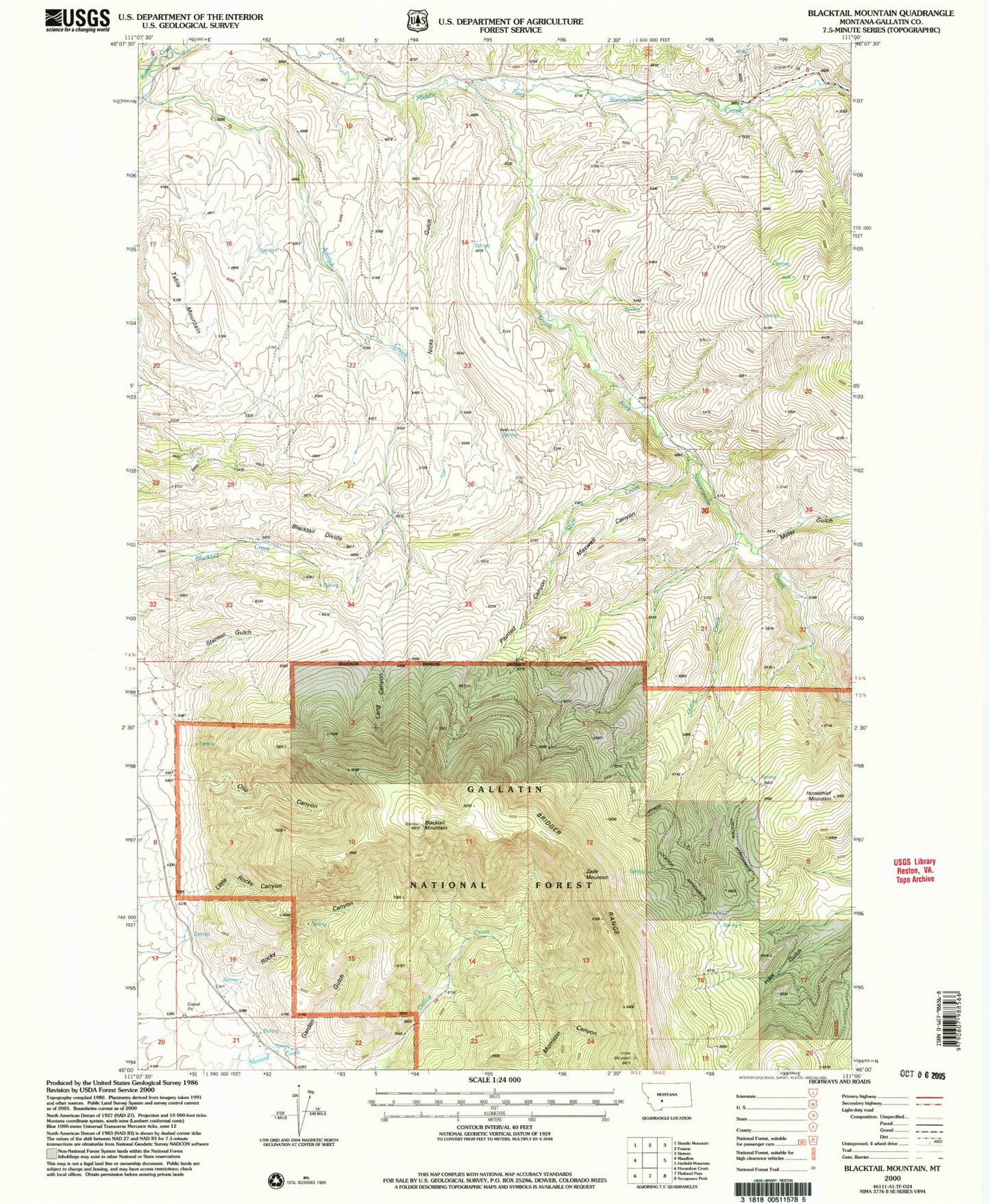
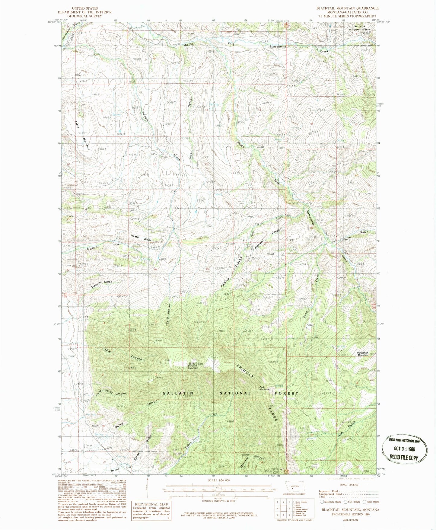
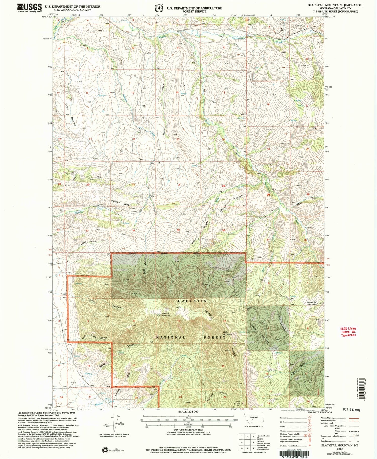
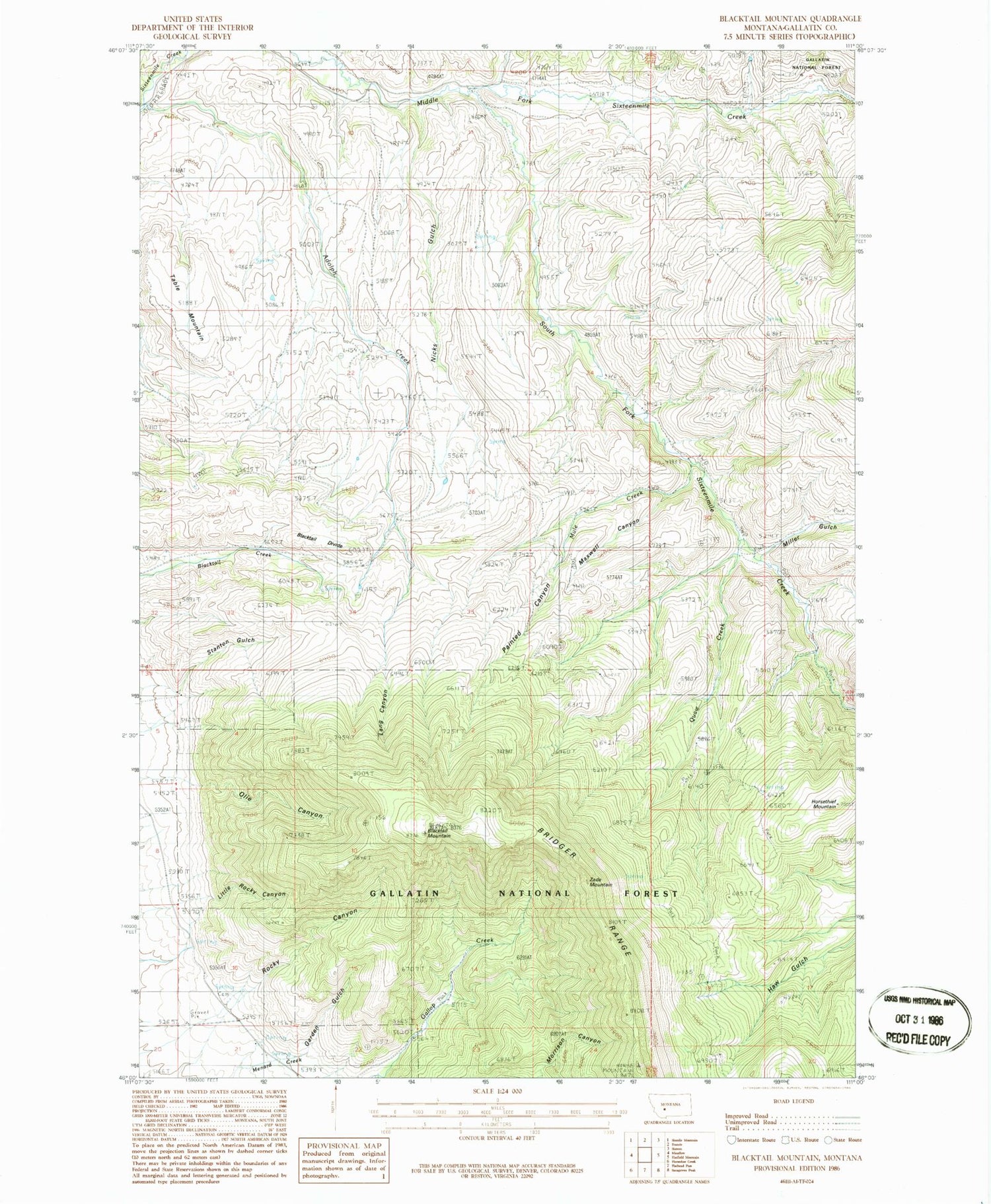
Classic USGS Blacktail Mountain Montana 7.5'x7.5' Topo Map
Couldn't load pickup availability
Historical USGS topographic quad map of Blacktail Mountain in the state of Montana. Map scale is 1:24000. Print size is approximately 24" x 27"
This quadrangle is in the following counties: Gallatin.
The map contains contour lines, roads, rivers, towns, and lakes. Printed on high-quality waterproof paper with UV fade-resistant inks, and shipped rolled.
Contains the following named places: Adolph Creek, Blacktail Divide, Blacktail Mountain, Garden Gulch, Hatfield Ranch, Horsethief Mountain, Jensen Ranch, Josephine School (historical), Lang Canyon, Little Rocky Canyon, Maxwell Canyon, Miller Gulch, Morgan Cemetery, Morgan Ranch, Mule Creek, Nicks Gulch, Olie Canyon, Painted Canyon, Quaw Creek, Rocky Canyon, South Fork Sixteenmile Creek, Stanton Gulch, Table Mountain, Zade Mountain


