MyTopo
Classic USGS Blackville South Carolina 7.5'x7.5' Topo Map
Couldn't load pickup availability
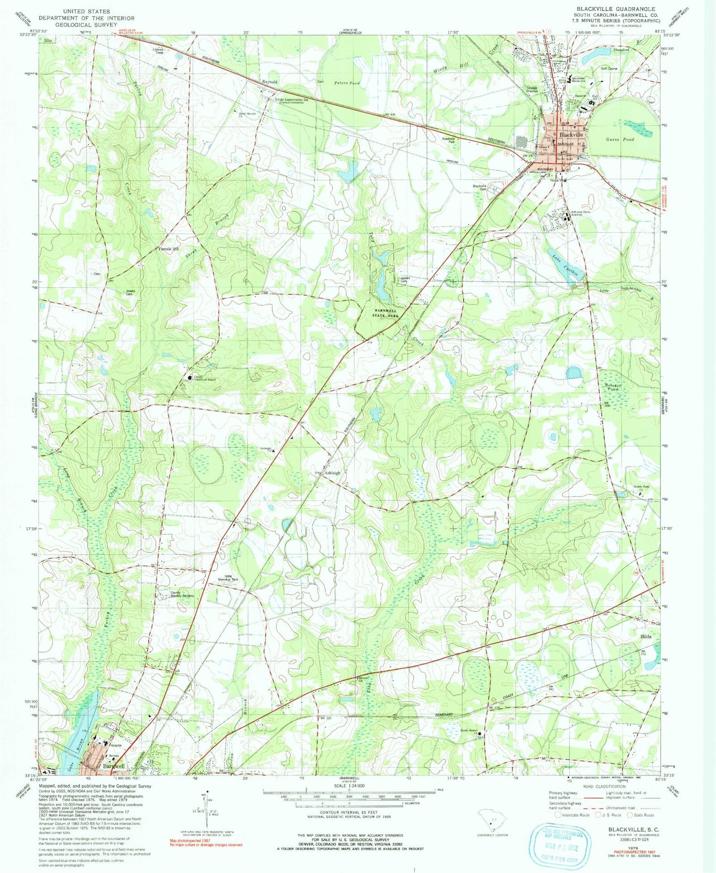
Historical USGS topographic quad map of Blackville in the state of South Carolina. Map scale may vary for some years, but is generally around 1:24,000. Print size is approximately 24" x 27"
This quadrangle is in the following counties: Barnwell.
The map contains contour lines, roads, rivers, towns, and lakes. Printed on high-quality waterproof paper with UV fade-resistant inks, and shipped rolled.
Contains the following named places: Ashleigh, Ashleigh Baptist Church, Ashleigh Church, Ashleigh School, Barnwell County Hospital, Barnwell State Park, Blackville, Blackville Church, Blackville Division, Blackville Fire Department, Blackville High School, Blackville Middle School, Blackville Post Office, Blackville School, Blackville United Methodist Church, Booker Pond, Browns Church, Browns School, Church of God, County Memory Gardens, Double Pond Baptist Church, Double Pond School, Edgar A Brown Lake, Edisto Experimental Station, Edisto Pond Dam D-3061, Farrells Mill, First Baptist Church, Friendship Baptist Church, Guess Pond, Hope Memorial Park, Jefferson Davis Academy, Jowers Cemetery, Lake Brown, Lake Cynthia, Lake Cynthia Dam D-3068, Long Branch, Macedonia Baptist Church, Macedonia Middle School, McLains Pond D-3058 Dam, Peters Pond, Reedy Branch Baptist Church, Reedy Branch School, Reynold, Sacred Heart Church, Saint Albans Church, Shiloh Church, Shrub Branch, Shrub Branch Church, Shrub Branch School, Temple Baptist Church, Town of Blackville, Yale, ZIP Code: 29817