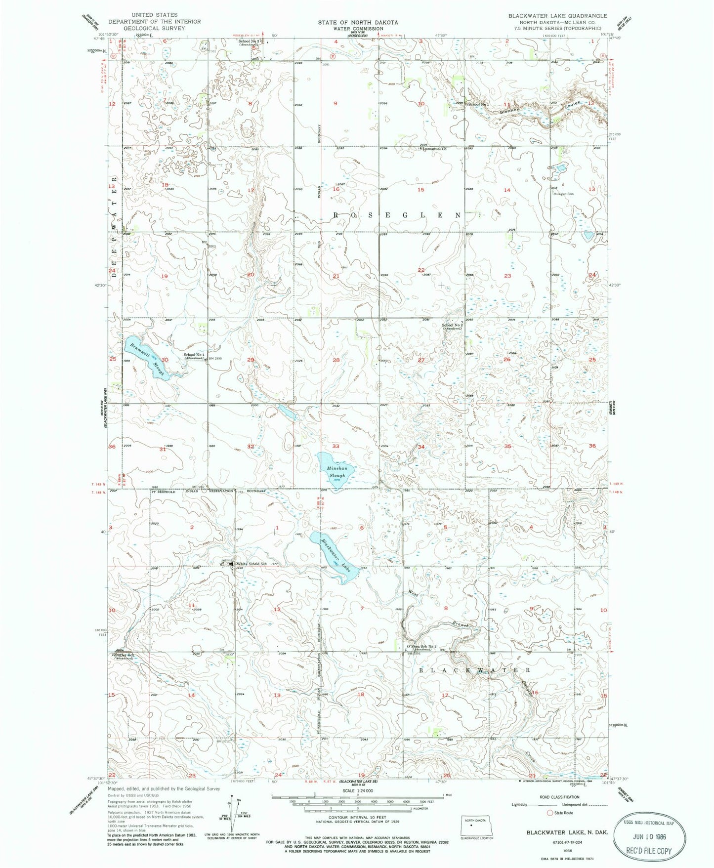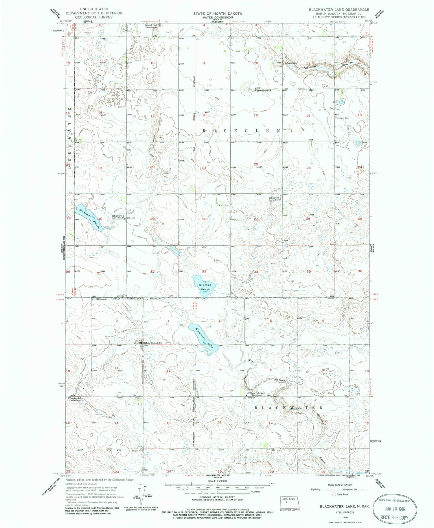
MyTopo
Classic USGS Blackwater Lake North Dakota 7.5'x7.5' Topo Map
Couldn't load pickup availability
Historical USGS topographic quad map of Blackwater Lake in the state of North Dakota. Map scale may vary for some years, but is generally around 1:24,000. Print size is approximately 24" x 27"
This quadrangle is in the following counties: McLean.
The map contains contour lines, roads, rivers, towns, and lakes. Printed on high-quality waterproof paper with UV fade-resistant inks, and shipped rolled.
Contains the following named places: Blackwater Lake, Brumwell Slough, Glennon Coulee, Immanuel Church, Immanuel Lutheran Cemetery, Minehan Slough, O'Shea School Number 2, Roseglen Cemetery, School Number 1, School Number 2, School Number 3, School Number 4, Township of Blackwater, Township of Roseglen, White Shield, White Shield Cemetery, White Shield Census Designated Place, White Shield School, Ziegler School, ZIP Code: 58775