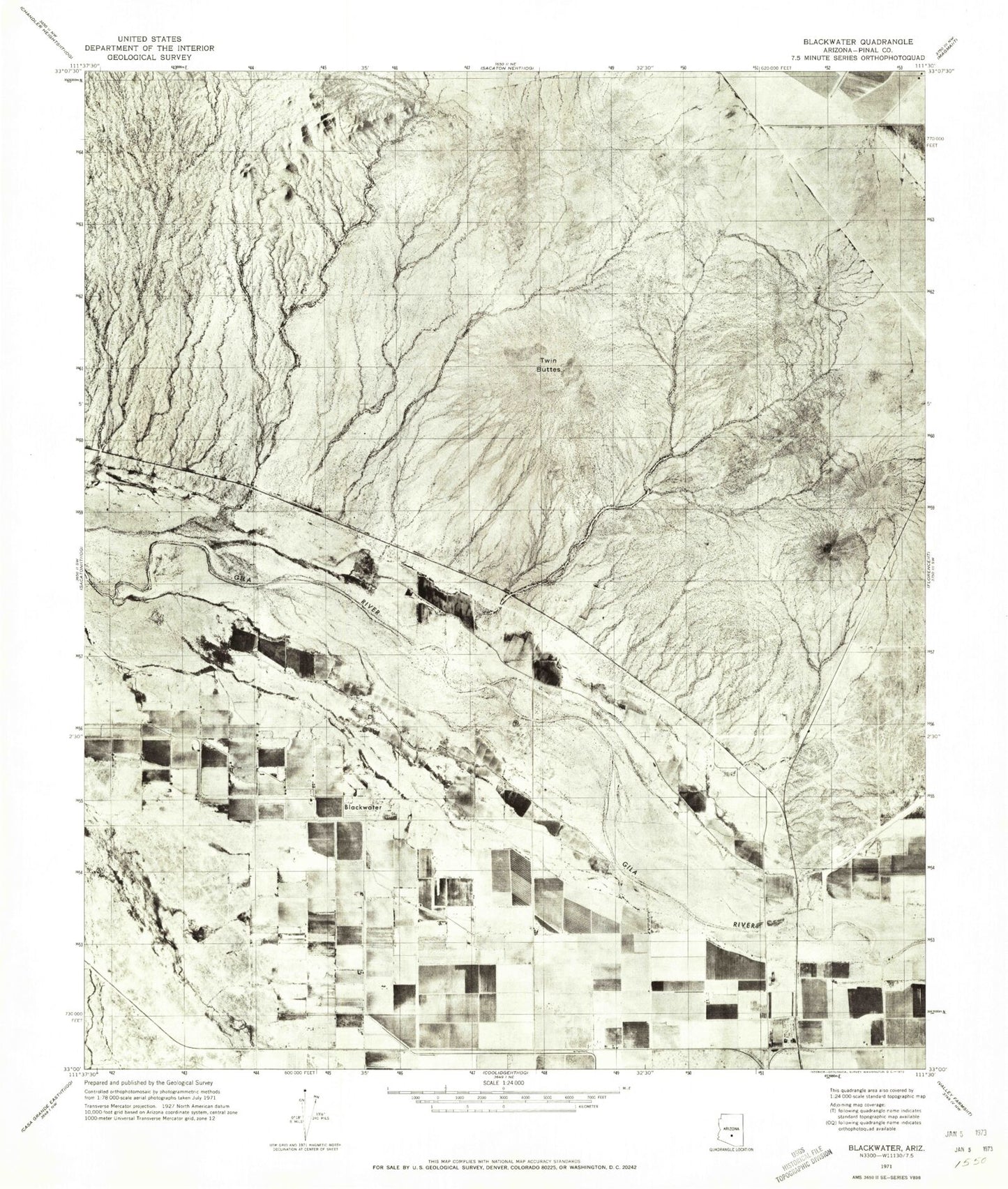
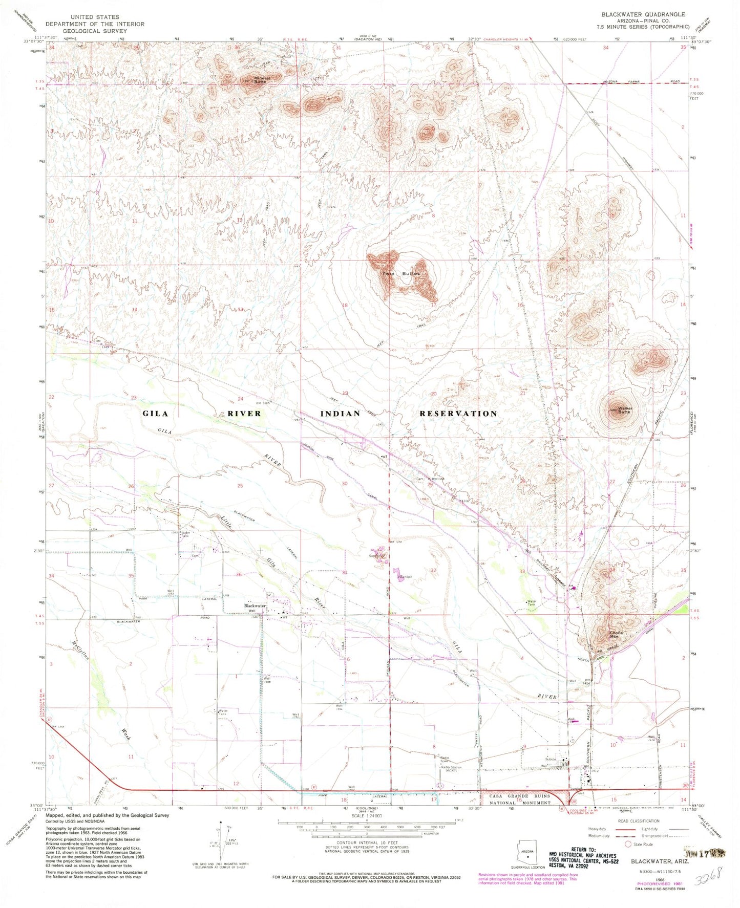
MyTopo
Classic USGS Blackwater Arizona 7.5'x7.5' Topo Map
Couldn't load pickup availability
Historical USGS topographic quad map of Blackwater in the state of Arizona. Map scale may vary for some years, but is generally around 1:24,000. Print size is approximately 24" x 27"
This quadrangle is in the following counties: Pinal.
The map contains contour lines, roads, rivers, towns, and lakes. Printed on high-quality waterproof paper with UV fade-resistant inks, and shipped rolled.
Contains the following named places: Blackwater, Blackwater Census Designated Place, Blackwater Community Center and School, Blackwater Lateral, Cholla Mountain, District 1, Gila River Indian Community Fire Department Station 421 Blackwater, KCKY-AM (Coolidge), KQEZ-FM (Coolidge), Little Gila River, Mineral Butte, Pinal County Sheriff's Office San Tan Region A, Poston, Poston Railroad Station, Twin Buttes, Walker Butte