MyTopo
Classic USGS Blackwell NW Oklahoma 7.5'x7.5' Topo Map
Regular price
$16.95
Regular price
Sale price
$16.95
Unit price
per
Couldn't load pickup availability
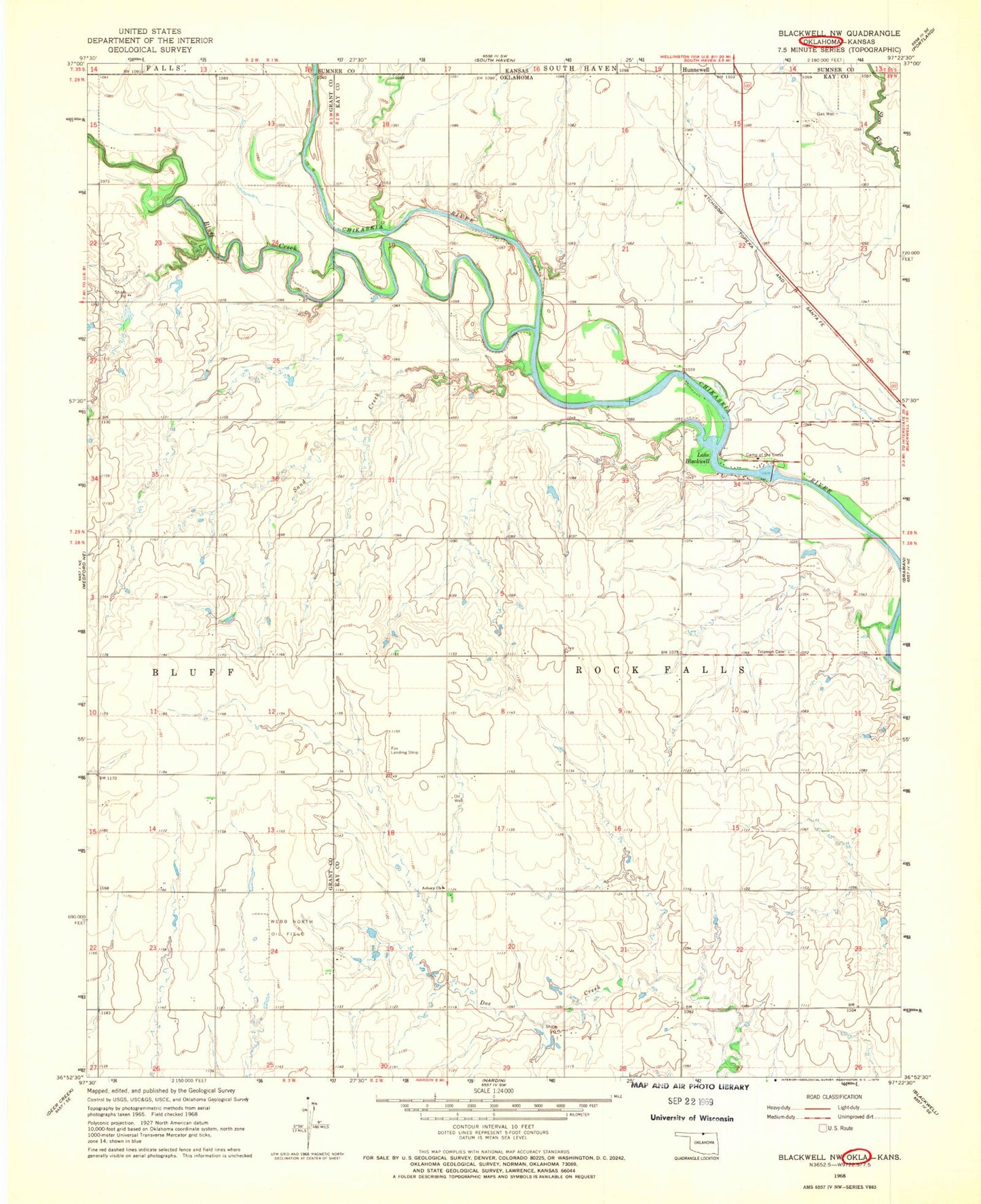
Historical USGS topographic quad map of Blackwell NW in the state of Oklahoma. Map scale may vary for some years, but is generally around 1:24,000. Print size is approximately 24" x 27"
This quadrangle is in the following counties: Grant, Kay, Sumner.
The map contains contour lines, roads, rivers, towns, and lakes. Printed on high-quality waterproof paper with UV fade-resistant inks, and shipped rolled.
Contains the following named places: Asbury Church, Bluff Creek, Camp of the Cross, Lake Blackwell, Lake Blackwell Dam, Oknoname 083016 Dam, Oknoname 083016 Reservoir, Sand Creek, Shoo Fly Creek, Township of Rock Falls, Triumph Cemetery, Webb North Oil Field