MyTopo
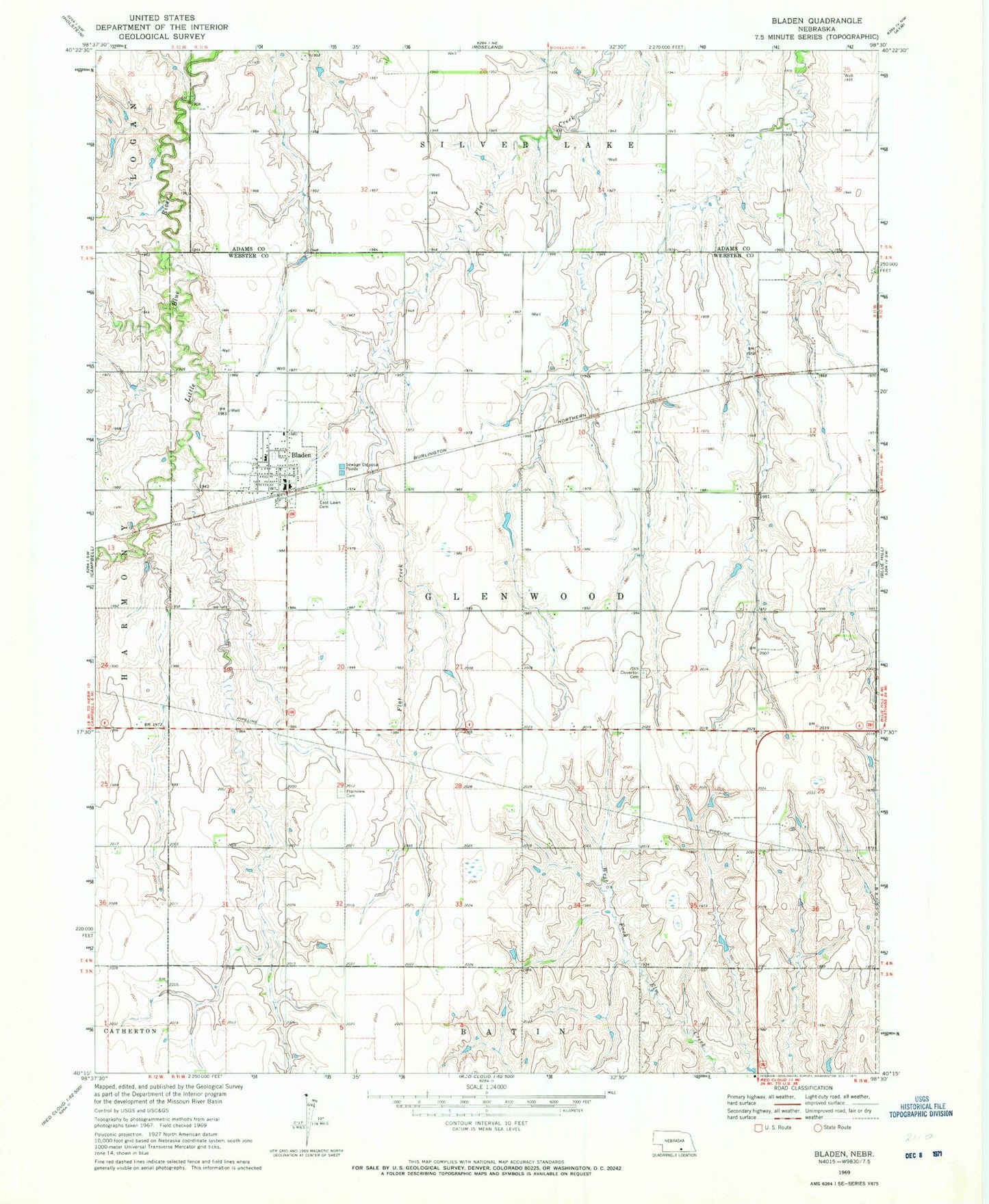
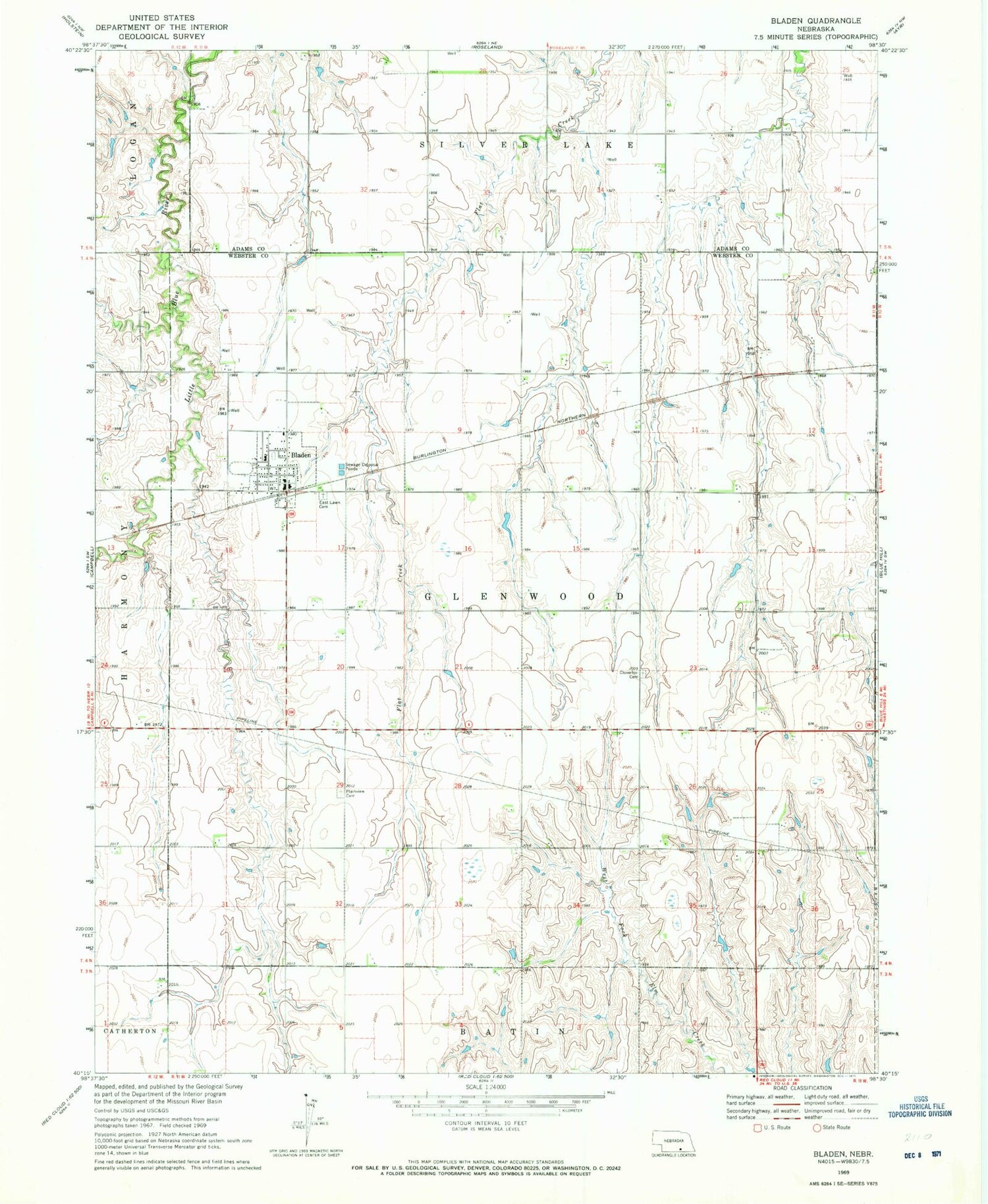
Classic USGS Bladen Nebraska 7.5'x7.5' Topo Map
Couldn't load pickup availability
Historical USGS topographic quad map of Bladen in the state of Nebraska. Map scale may vary for some years, but is generally around 1:24,000. Print size is approximately 24" x 27"
This quadrangle is in the following counties: Adams, Webster.
The map contains contour lines, roads, rivers, towns, and lakes. Printed on high-quality waterproof paper with UV fade-resistant inks, and shipped rolled.
Contains the following named places: Agri Co-op Elevator, Bladen, Bladen Election Precinct, Bladen Post Office, Bladen Volunteer Fire and Rescue, Catherland Historical Marker, Cloverton Cemetery, East Lawn Cemetery, Lewis Dam, Lewis Reservoir, Plainview Cemetery, Silver Lake Elementary School, Township of Batin, Township of Glenwood, United Methodist Church, Village of Bladen, Webster County Fair Grounds, ZIP Code: 68928