MyTopo
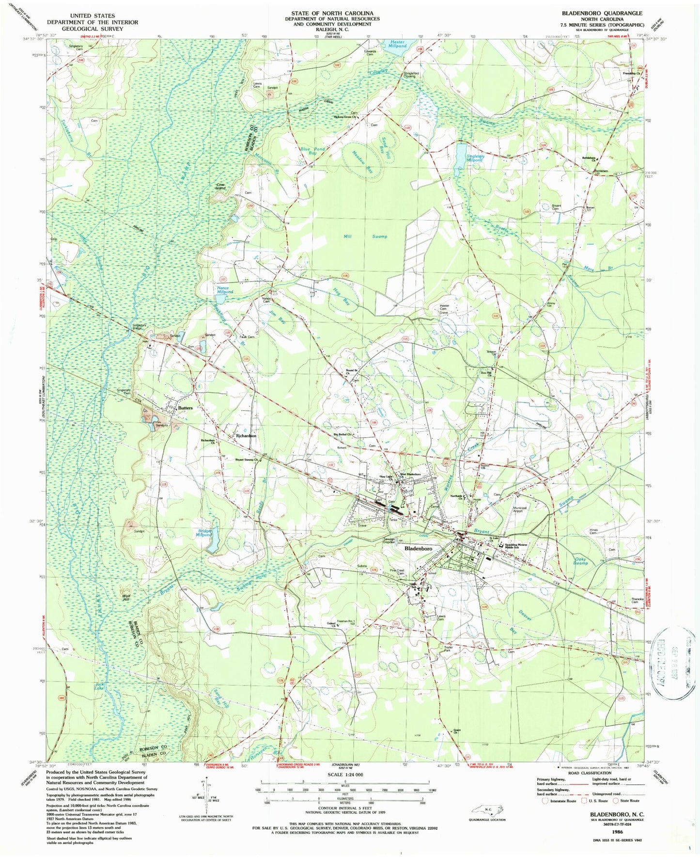
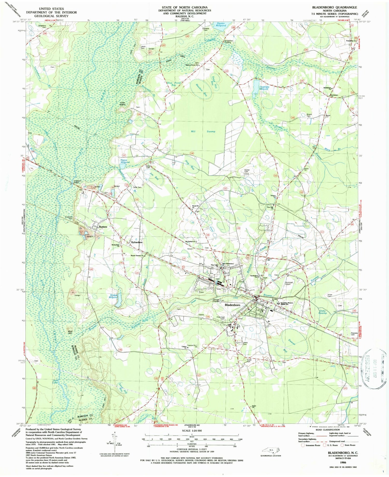
Classic USGS Bladenboro North Carolina 7.5'x7.5' Topo Map
Couldn't load pickup availability
Historical USGS topographic quad map of Bladenboro in the state of North Carolina. Map scale may vary for some years, but is generally around 1:24,000. Print size is approximately 24" x 27"
This quadrangle is in the following counties: Bladen, Robeson.
The map contains contour lines, roads, rivers, towns, and lakes. Printed on high-quality waterproof paper with UV fade-resistant inks, and shipped rolled.
Contains the following named places: Bear Ford Swamp, Bethlehem Church, Big Bethel Church, Bladenboro, Bladenboro Airport, Bladenboro Cemetery, Bladenboro Church of God, Bladenboro Fire Department, Bladenboro High School, Bladenboro Industrial Park, Bladenboro Police Department, Bladenboro Post Office, Bladenboro Rescue Squad, Blue Pond Bay, Boots Swamp, Bridger Millpond, Bryant Cemetery, Bryant Swamp, Bryant Swamp Canal, Bryant Swamp Church, Buckhorn Branch, Butters, Butters Census Designated Place, Cow Island, Crawley Swamp, Deaver Bay, Edwards Cemetery, Faulk Cemetery, First Baptist Church, Fox Bay, Friendship Church, Galeed Church, Good News Baptist Church, Grace Church, Hester Bay, Hester Cemetery, Hester Millpond Dam, Hickory Grove Church, Hines Cemetery, Hog Bay, Jack Lake, Jackson Swamp, Jim Bay, Lewis Cemetery, Little Swamp, Mare Branch, Marsh Canal, Meadow Bay, Mill Swamp, Moccasin Branch, Monroe School, Mount Galled Church, Nance Cemetery, Nance Millpond, New Light Church, Northside Church, Oaky Swamp, Pine Crest Cemetery, Pitman Road Mission, Redding Bay, Reedy Branch, Richardson, Richardson Church, Roanoke Cemetery, Round Branch Church, Saint Luke Church, Sand Hill Bay, Shingleford Crossing, Singletary Bridge, Singletary Cemetery, Singletary Millpond, Spaulding Monroe Middle School, Town of Bladenboro, Township of Bladenboro, Tuckleberry Branch, Wateree Creek, West Bladenboro Church, Wolf Hill, Zion Hill Church, ZIP Code: 28320


