MyTopo
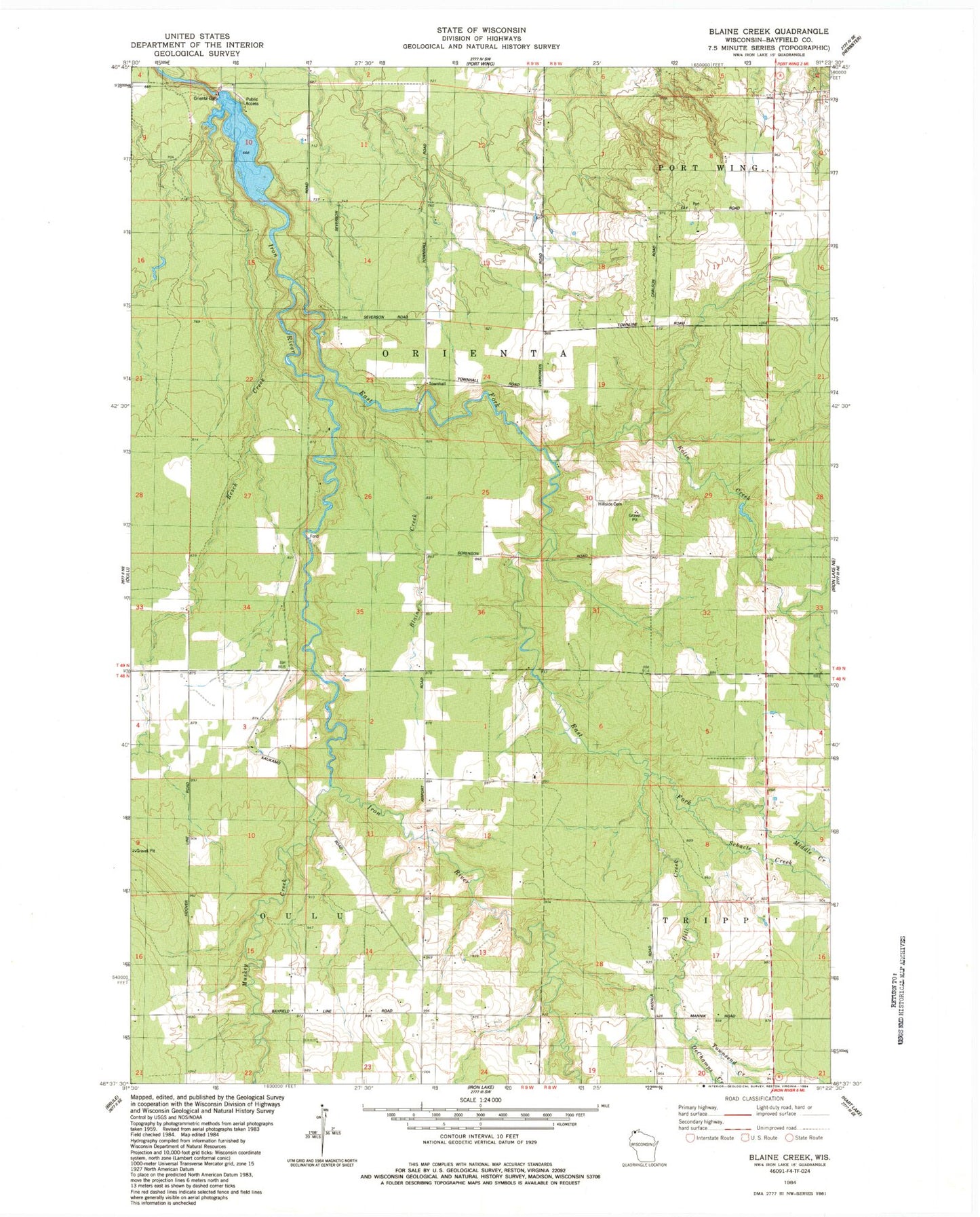
Classic USGS Blaine Creek Wisconsin 7.5'x7.5' Topo Map
Regular price
$16.95
Regular price
Sale price
$16.95
Unit price
per
Couldn't load pickup availability
Historical USGS topographic quad map of Blaine Creek in the state of Wisconsin. Map scale may vary for some years, but is generally around 1:24,000. Print size is approximately 24" x 27"
This quadrangle is in the following counties: Bayfield.
The map contains contour lines, roads, rivers, towns, and lakes. Printed on high-quality waterproof paper with UV fade-resistant inks, and shipped rolled.
Contains the following named places: Blaine Creek, DeChamps Creek, East Fork Iron River, Hill Creek, Hillside Cemetery, Kolin Creek, Middle Creek, Muskeg Creek, Orienta Dam, Orienta Flowage, Orienta Townhall, Resch Creek, Schacte Creek, Town of Orienta, Town of Oulu, Townsend Creek