
MyTopo
Classic USGS Blair Basin Utah 7.5'x7.5' Topo Map
Regular price
$16.95
Regular price
Sale price
$16.95
Unit price
per
Couldn't load pickup availability
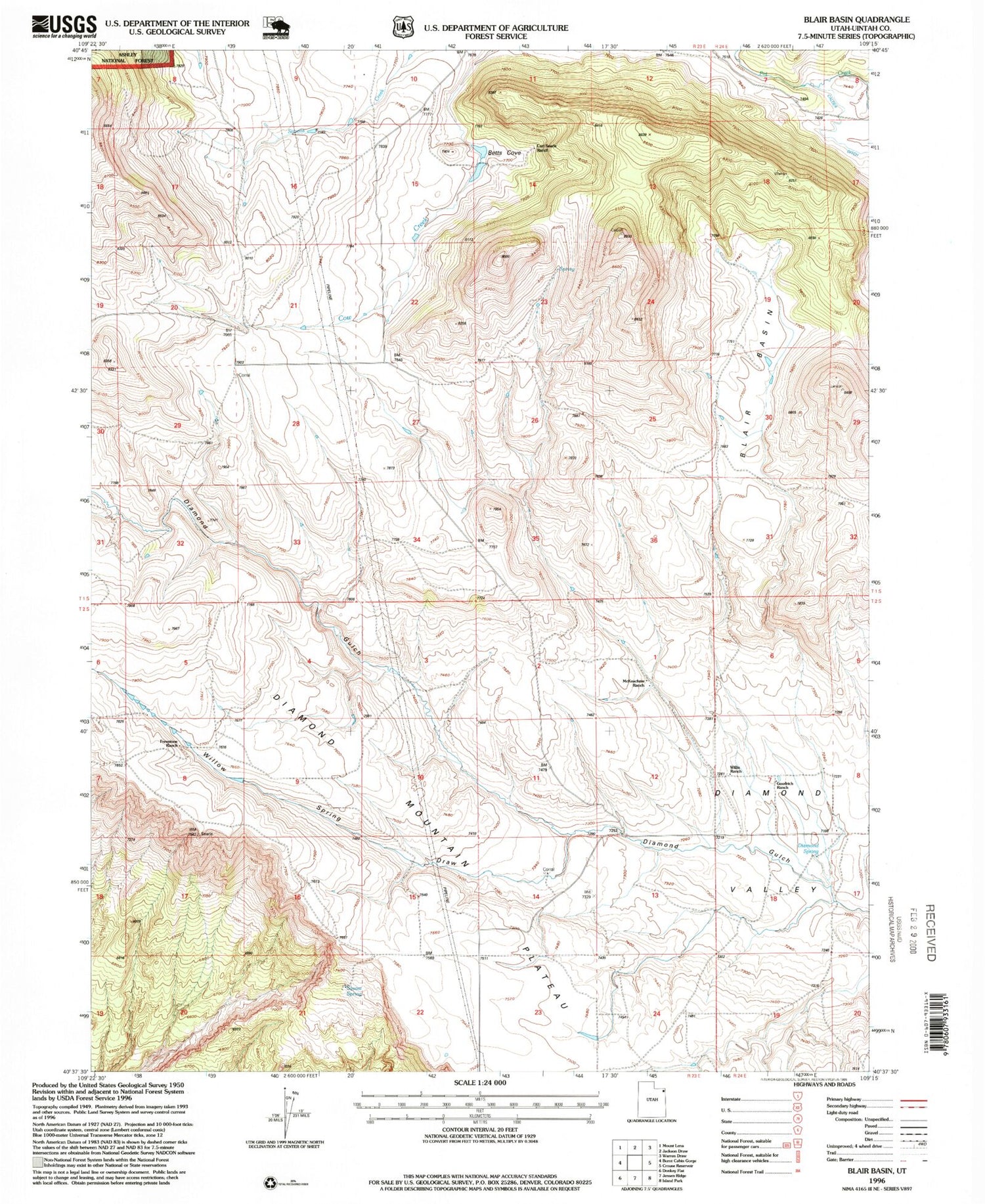
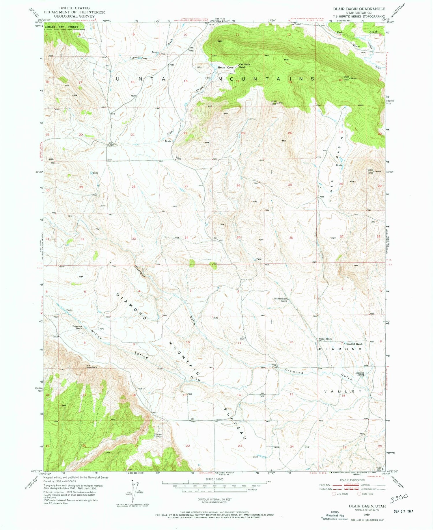
Historical USGS topographic quad map of Blair Basin in the state of Utah. Map scale may vary for some years, but is generally around 1:24,000. Print size is approximately 24" x 27"
This quadrangle is in the following counties: Uintah.
The map contains contour lines, roads, rivers, towns, and lakes. Printed on high-quality waterproof paper with UV fade-resistant inks, and shipped rolled.
Contains the following named places: Betts Cove, Blair Basin, Carl Searle Ranch, Diamond Mountain Plateau, Diamond Spring, Diamond Valley, Freestone Ranch, Goodrich Ranch, McKeachnie Ranch, Squaw Spring, Willis Ranch, Willow Spring Draw


