MyTopo
Classic USGS Blakely South Carolina 7.5'x7.5' Topo Map
Couldn't load pickup availability
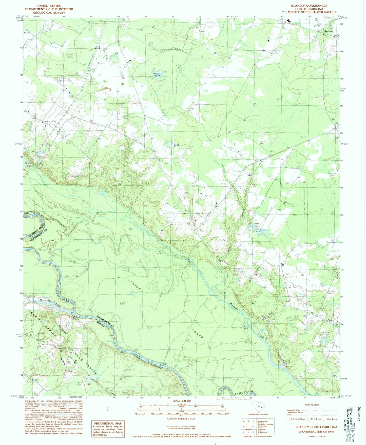
Historical USGS topographic quad map of Blakely in the state of South Carolina. Map scale may vary for some years, but is generally around 1:24,000. Print size is approximately 24" x 27"
This quadrangle is in the following counties: Berkeley, Williamsburg.
The map contains contour lines, roads, rivers, towns, and lakes. Printed on high-quality waterproof paper with UV fade-resistant inks, and shipped rolled.
Contains the following named places: Betaw Church, Betaw Plantation, Betaw Plantation Cemetery, Billy Cox Lower Pond Dam D-3089, Billy Cox Upper Pond, Billy Cox Upper Pond Dam D-3090, Blakely, Chapel Branch, Charity Church, Crawl Creek, D P Cooper Elementary School, Doctor Pond School, Dog Creek Flats, Floricane, Honey Hill Church, Horse Pond, Jerusalem African Methodist Episcopal Church, Jerusalem School, June Branch, Lane Division, Laurel Hill Boat Ramp, Matassee, Mattassee Branch, Mattassee Lake, Saint Peter Church, Scott Woods Plantation, South Carolina Gun Club, Sutton Cemetery, Sutton Church, Sutton School, Terry School, Wee Tee School, Williams Pond, Williamsburg County Fire Department Suttons, Williamsburg-Blakely Elementary/Middle School, Wittee Lake, ZIP Code: 29564