MyTopo
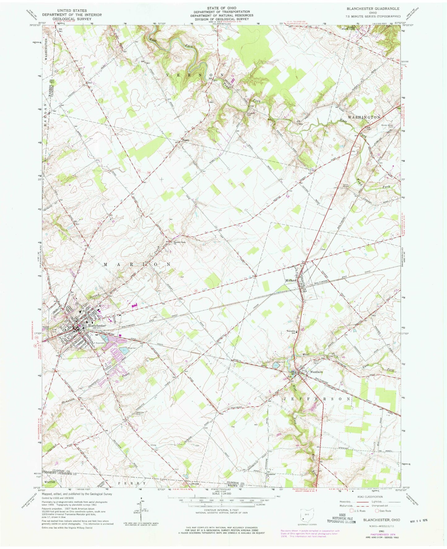
Classic USGS Blanchester Ohio 7.5'x7.5' Topo Map
Couldn't load pickup availability
Historical USGS topographic quad map of Blanchester in the state of Ohio. Map scale may vary for some years, but is generally around 1:24,000. Print size is approximately 24" x 27"
This quadrangle is in the following counties: Brown, Clermont, Clinton, Warren.
The map contains contour lines, roads, rivers, towns, and lakes. Printed on high-quality waterproof paper with UV fade-resistant inks, and shipped rolled.
Contains the following named places: Blanchester, Blanchester - Marion Township Volunteer Fire Department, Blanchester Church of Christ, Blanchester Church of the Nazarene, Blanchester EMS, Blanchester High School, Blanchester Mobile Home Park, Blanchester Municipal Building, Blanchester Police Department, Blanchester Post Office, Blanchester Public Library, Blanchester Reservoir Number Four, Blanchester Reservoir Number Three, Blanchester Reservoir Number Three Dam, Blanchester Upground Reservoir N, Clinton South Joint Fire District, First Baptist Church, First Church of God, First Universalist Church, Friends Cemetery, Garrison Cemetery, Grace United Methodist Church, Holy Name Catholic Church, Houston Upground Reservoir, Houston Upground Reservoir Dam, Independent Order of Odd Fellows Cemetery, J B Putnam Elementary School, Jefferson Elementary School, Main Street Middle School, Marion Township House, Midland, Midland Post Office, Moore - Johns Cemetery, Pansy, Pansy Methodist Church, Pansy Methodist Church and School Historic District, Pansy Post Office, Pansy School, Rehoboth Cemetery, Second Creek Cemetery, Second Creek Church, Sycamore Church, Township of Jefferson, Township of Marion, Village of Blanchester, Village of Midland, Westboro, Westboro Independent Order of Odd Fellows Cemetery, Westboro Post Office, Whitakers Run, Zion Baptist Church, ZIP Codes: 45107, 45148


