MyTopo
Classic USGS Blanco New Mexico 7.5'x7.5' Topo Map
Couldn't load pickup availability
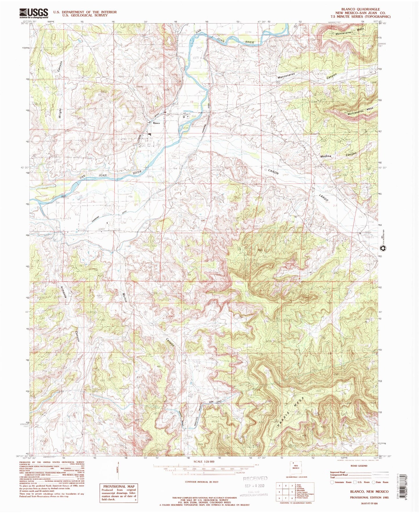
Historical USGS topographic quad map of Blanco in the state of New Mexico. Map scale may vary for some years, but is generally around 1:24,000. Print size is approximately 24" x 27"
This quadrangle is in the following counties: San Juan.
The map contains contour lines, roads, rivers, towns, and lakes. Printed on high-quality waterproof paper with UV fade-resistant inks, and shipped rolled.
Contains the following named places: Armenta Canyon, Blanco, Blanco Camp, Blanco Post Office, Bloomfield Division, Boulder Fortress, Cabresto Mesa Tower Complex, Canon Largo, Christmas Tree Historic Site, Compressor Station Historic Site, Cottonwood Divide Site, Crevice Ruin, Crow Canyon Historic Site, Delgadito Pueblito Historic Site, Dziltnsahah, Fivemile Crossing, Foothold Historic Site, Francis Canyon Historic Site, Garcia Canyon Pueblito Historic Site, Gomez Canyon Historic Site, Gomez Point Historic Site, Gould Pass Historic Site, Hadlocks Crow Canyon Number One, KCEM-FM (Bloomfield), Kin Naa Daa, Largo School Ruin, Manzanares Canyon, Medina Canyon, Munoz Canyon, Overlook Site, Pointed Butte Ruin, Pork Chop Pass Historic Site, Pueblito Canyon Ruin Historic Site, Pueblito East Ruin, Rincon Largo Ruin, Rincon Rockshelter, Romine Canyon Ruin Historic Site, Romine Ranch Ruin, Saint Rose Cemetery, Saint Rose Church, San Juan County Fire District 5 - Blanco / Navajo, Santa Rosa School, Shaft House, Split Rock Ruin, Tapacito Ruin, The Citadel Historic Site, The Wall, Three Corn Ruin Historic Site, Tower of the Standing God, Trubys Tower, Turley Census Designated Place, Wrights Canyon


